
Drives Colorado Summit County, Vail, Aspen and the High Country
Monarch Pass: US-50
US 50 · Poncha Springs → Sargents

The drive
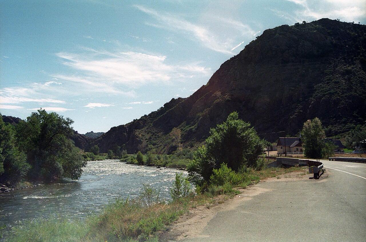
Monarch Pass carries US 50 over the Continental Divide at 11,312 feet, between the Arkansas valley and the Gunnison country. This drive starts at Poncha Springs, near Salida, and climbs west up the South Arkansas River to the summit, then drops to Sargents. It's about 27 miles.
The road is a real highway, paved and three lanes wide much of the way, with passing lanes on the climb. It still has steep grades and cliff edges in places, and winter storms can make it hard going.
At the top, the Monarch Crest Visitor Center sits beside the road, and Monarch ski area runs a tram from there to 12,012 feet on the Divide. The summit is also the northern trailhead for the Continental Divide Trail's Monarch Crest section.
Along the way
- Poncha Springs
- Garfield
- Monarch Pass
- Sargents
Good to know
- US 50 is open all year, but the pass can close for a while in severe snowstorms.
- The tram ride up to 12,012 feet takes about 15 minutes round trip, and tickets are sold at the visitor center.
- There are gas stations at the bottom of the pass on both sides.
Open all year, weather permitting. Roads close for snow, fire, storms and repairs: before you set off, check CDOT COtrip.
Questions about this drive
How long does Monarch Pass take to drive?
Poncha Springs to Sargents over Monarch Pass on US 50 is 28 miles and takes about 35 min.
Is Monarch Pass open in winter?
Yes. US 50 over Monarch Pass is open year-round, though severe snowstorms can close it for a time.
How high is Monarch Pass?
Monarch Pass crosses the Continental Divide at 11,312 feet. The tram at the summit goes up to 12,012 feet.
Is there a toll on Monarch Pass?
No. US 50 over Monarch Pass has no tolls.
What you get in the app
Free on iPhone and Android. CarPlay and Android Auto come with Apex.
More drives near here




Distance, time, elevation, curves and intensity are from Carve's route. Checked 2026-10-28.