Drives Colorado Colorado Springs and Southern Colorado
Bighorn Sheep Canyon: US-50
US 50, Royal Gorge Boulevard · Canon City → Salida

The drive
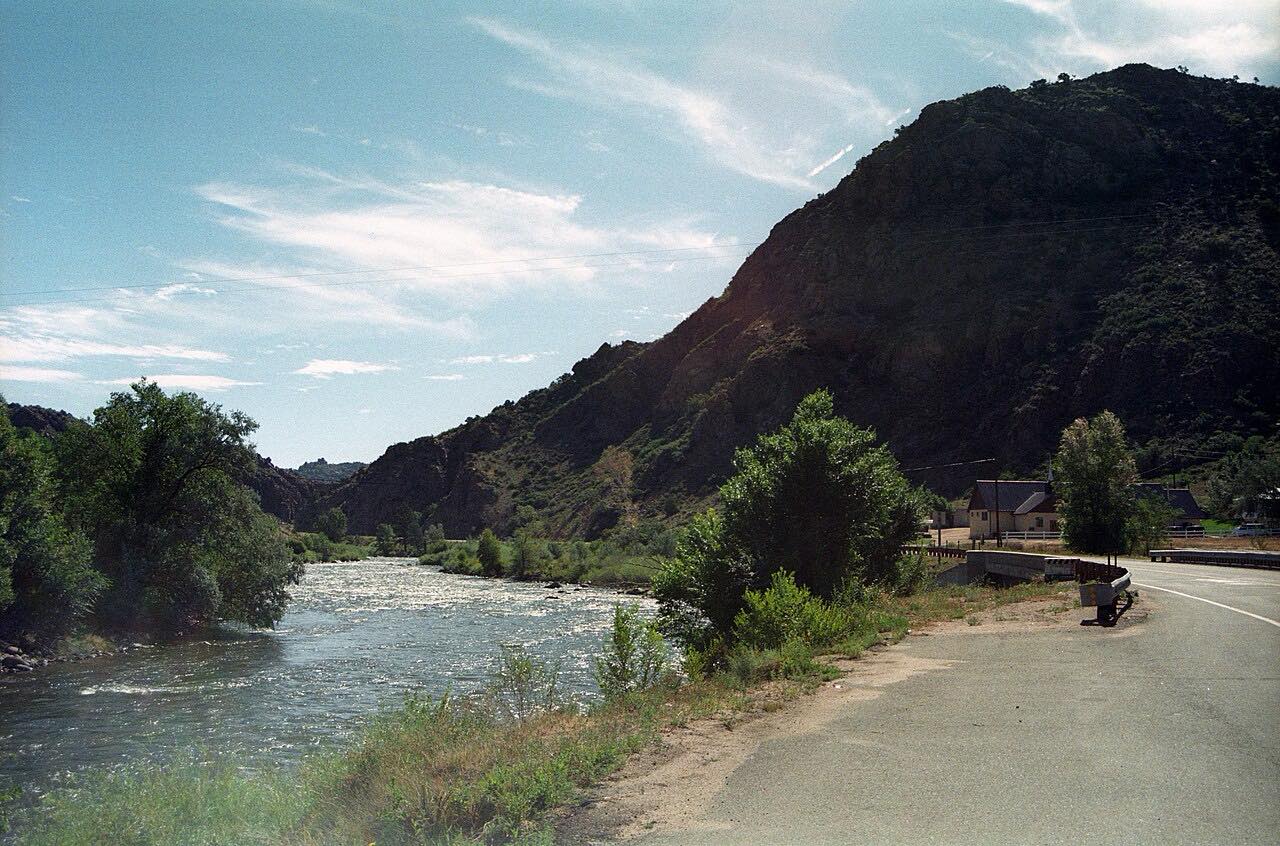
US 50 follows the Arkansas River west out of Cañon City and into Bighorn Sheep Canyon, a red-rock gorge where the road and river share the floor. The highway is a two-lane road with the river alongside, and rafting outfitters have their put-ins along the way, including at Texas Creek and Cotopaxi.
Bighorn sheep live on the canyon slopes, and the Sangre de Cristo range comes into view as you near Salida.
The Royal Gorge Bridge and Park are not on this route; they sit off the highway on a county road and charge admission.
Along the way
- Canon City
- Texas Creek
- Cotopaxi
- Salida
Good to know
- Rafting outfitters operate along the canyon in summer.
- Cell service is limited near the Texas Creek junction.
- The road is open year-round; check COtrip for crashes or winter closures.
Open all year, weather permitting. Roads close for snow, fire, storms and repairs: before you set off, check CDOT COtrip.
Questions about this drive
How long does Bighorn Sheep Canyon on US 50 take?
Cañon City to Salida on US 50 is 53.2 miles and takes about 1 hr.
Is US 50 through Bighorn Sheep Canyon twisty?
No. The road follows the Arkansas River with gentle curves, and the climb is modest at about 3,500 feet over the whole drive.
Can you raft Bighorn Sheep Canyon?
Yes. Several outfitters run half-day and full-day trips on this stretch of the Arkansas River, with launch points at Cañon City, Texas Creek and Cotopaxi.
Is the Royal Gorge on the Bighorn Sheep Canyon drive?
No. The Royal Gorge Bridge and Park are a paid attraction off US 50 on a county road, not on this route.
What you get in the app
Free on iPhone and Android. CarPlay and Android Auto come with Apex.
More drives near here


Distance, time, elevation, curves and intensity are from Carve's route. Checked 2026-10-28.