
Drives Florida Orlando, Tampa Bay and Central Florida
Pinellas Bayway to Fort De Soto
Tampa Bay, Florida · Pinellas Bayway → Fort De Soto

The drive
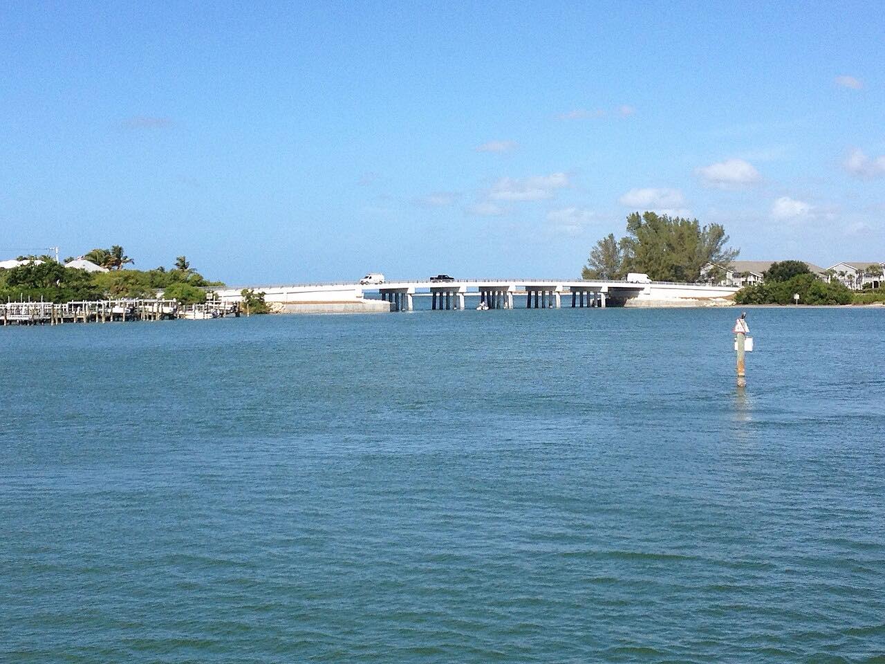
The Pinellas Bayway South carries SR 679 over causeways and through Tierra Verde toward Fort De Soto Park, with water on both sides. This drive starts on the Bayway (SR 682) and heads south for 8 miles, then follows Anderson Boulevard through the park.
Fort De Soto is a Pinellas County park. Its 12-inch mortar battery is on the National Register of Historic Places, and a Quartermaster Storehouse Museum sits on site. North Beach has a swim center, with a paved trail connecting it to East Beach, the boat ramp and the camping area.
The drive is flat and slow, a short run to the beach rather than a driving road.
Along the way
- Pinellas Bayway (SR 682)
- Fort De Soto
Good to know
- SR 679 is an electronic toll road, paid by SunPass or by plate.
- Parking in the park costs $6, paid at a terminal or by phone.
- The park is open 7 a.m. to sunset.
Open all year, weather permitting. Roads close for snow, fire, storms and repairs: before you set off, check Pinellas County Parks: know before you go.
Questions about this drive
How long is the drive to Fort De Soto?
From the Pinellas Bayway (SR 682) to Fort De Soto is 8 miles and takes about 15 minutes.
Is there a toll to Fort De Soto?
Yes. SR 679, the Pinellas Bayway South, is an electronic toll road, paid by SunPass or by plate.
Does Fort De Soto Park charge for parking?
Yes. Parking at Fort De Soto costs $6, according to the Pinellas County parks page.
What hours is Fort De Soto open?
The park is open seven days a week, 7 a.m. to sunset.
What you get in the app
Free on iPhone and Android. CarPlay and Android Auto come with Apex.
More drives near here



Distance, time, elevation, curves and intensity are from Carve's route. Checked 2026-10-28.