
Drives Florida Orlando, Tampa Bay and Central Florida
Longboat Key to Anna Maria
Gulf Drive · St. Armands Circle → Anna Maria

The drive
SR 789 is the main road of Longboat Key, running its length as Gulf of Mexico Drive with resorts on the Gulf side and houses on the bay side. This drive starts at St. Armands Circle, where SR 789 is John Ringling Boulevard, and heads north 16.8 miles to Anna Maria.
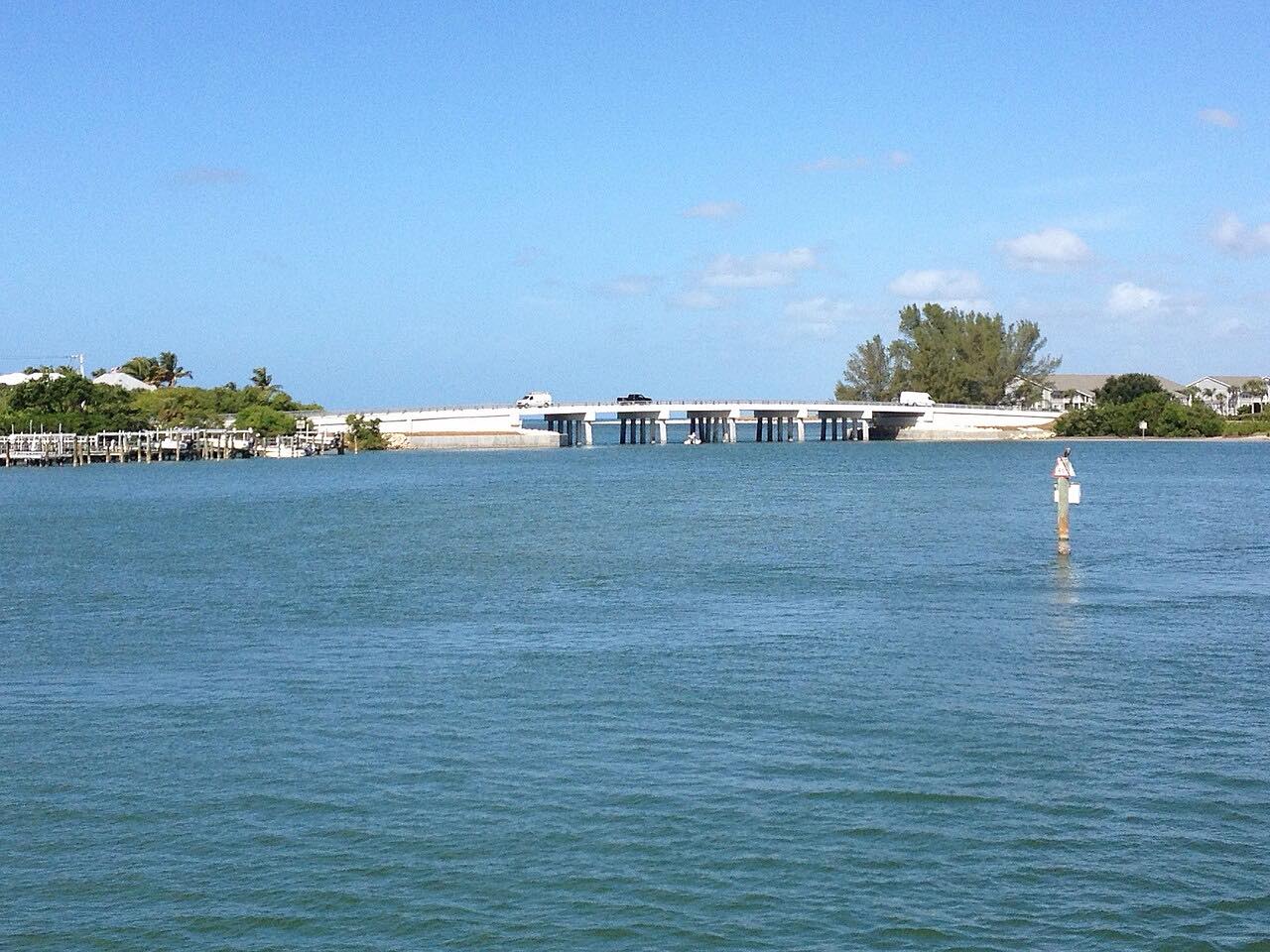
The road crosses the Longboat Pass Bridge, a drawbridge built in 1957, onto Anna Maria Island, where it becomes Gulf Drive through Bradenton Beach and Holmes Beach. Speed limits are low and the island towns are small.
It is a slow barrier-island drive, flat the whole way, best taken without a schedule.
Along the way
- St. Armands Circle
- Holmes Beach (Gulf Drive)
- Anna Maria
Good to know
- The Longboat Pass drawbridge opens for boats.
- FDOT has planned repairs to the Longboat Pass Bridge and is planning for its replacement, so check for work before you go.
Open all year, weather permitting. Roads close for snow, fire, storms and repairs: before you set off, check Florida 511.
Questions about this drive
How long is the drive from St. Armands Circle to Anna Maria?
The drive on SR 789 from St. Armands Circle to Anna Maria is 16.8 miles and takes about 40 minutes.
Is there a drawbridge on SR 789?
Yes. The Longboat Pass Bridge between Longboat Key and Bradenton Beach is a drawbridge.
Is the Longboat Key drive twisty?
No. It is Leisurely and flat, with mostly gentle curves.
What you get in the app
Free on iPhone and Android. CarPlay and Android Auto come with Apex.
More drives near here



Distance, time, elevation, curves and intensity are from Carve's route. Checked 2026-10-28.