
Drives Utah Salt Lake and the Wasatch
Alpine Loop: Highway 92
UT 92, Alpine Loop · American Fork Canyon → Provo Canyon

The drive
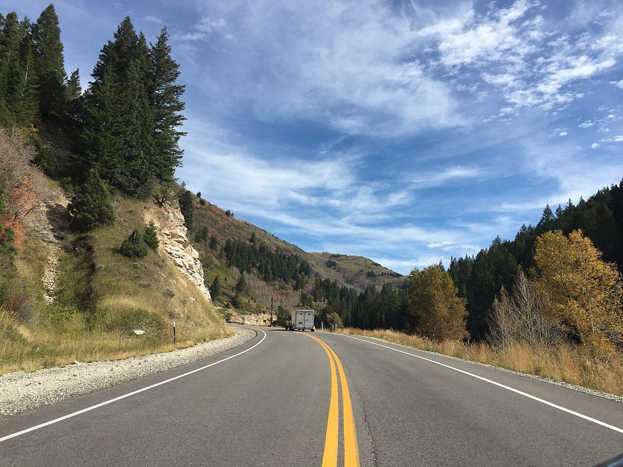
Highway 92 climbs American Fork Canyon and goes over the shoulder of Mount Timpanogos at about 8,000 feet, through aspen and fir. It passes Timpanogos Cave and Sundance and then descends to Provo Canyon at US 189. It is 19.3 miles and about 50 minutes, twisty most of the way.
The road is paved but has no center line for most of its length, and the grades are steep. It is busy in fall color season, and the Forest Service advises avoiding weekends and holidays.
Snow closes the road in winter, typically from November 1.
Along the way
- American Fork Canyon
- Timpanogos Cave
- Sundance
- Provo Canyon (US-189)
Good to know
- The Forest Service says trailers are prohibited because of steep grades and narrow, blind curves.
- Driving through without stopping is free. A recreation pass is required at developed sites: $10 for 3 days.
- The loop typically closes November 1, so check UDOT's seasonal road status.
Closed by snow from about November to late May. Roads close for snow, fire, storms and repairs: before you set off, check UDOT seasonal road status.
Questions about this drive
How long does the Alpine Loop take?
Highway 92 from American Fork Canyon to Provo Canyon is 19.3 miles and takes about 50 minutes.
When does the Alpine Loop close for winter?
The Forest Service says it typically closes November 1. Check UDOT for the current seasonal road status of Highway 92.
Can you pull a trailer on the Alpine Loop?
No. The Forest Service prohibits trailers because of steep grades and narrow, blind curves.
What you get in the app
Free on iPhone and Android. CarPlay and Android Auto come with Apex.
More drives near here



Distance, time, elevation, curves and intensity are from Carve's route. Checked 2026-10-28.