
Drives California The Bay Area
Morgan Territory Road
Morgan Territory Road · Livermore → Clayton

The drive
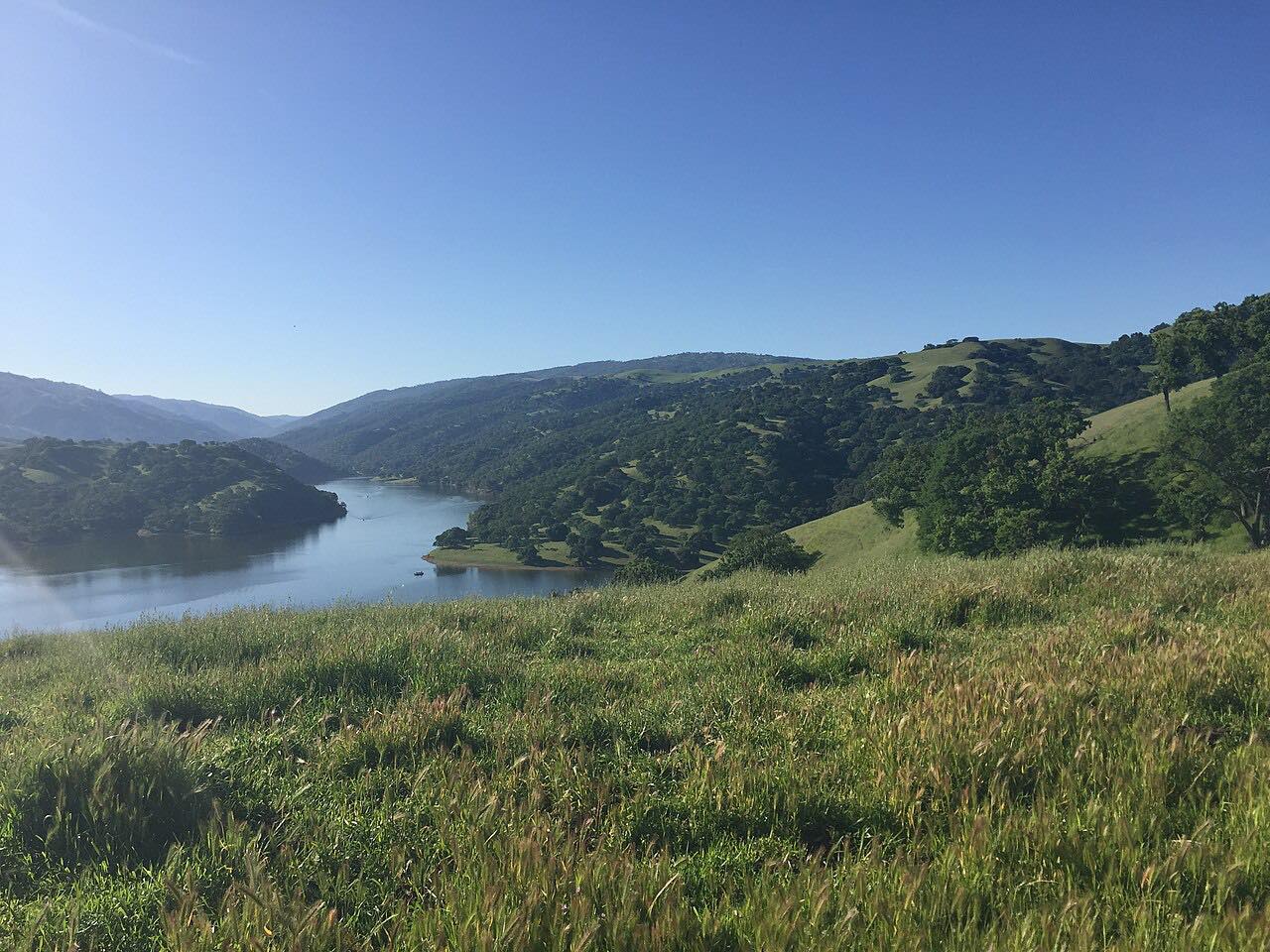
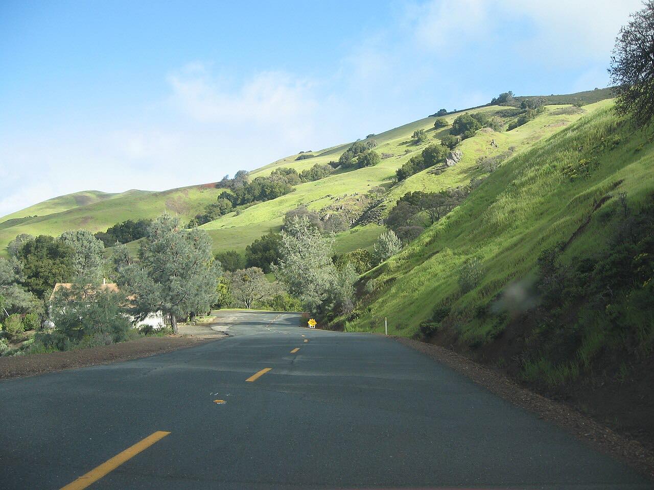
Morgan Territory Road is narrow, slow and quiet, and that's its charm. It leaves Manning Road in the farmland north of Livermore and climbs into the hills on the east side of Mount Diablo, a country of sandstone, grass and oak that the rancher Jeremiah Morgan bought into in 1856 and, by family lore, called the morning side of the mountain.
Most of the road is a single lane with no center line, blind curves and one-lane bridges, so meeting an oncoming car means one of you pulls onto the shoulder. About five and a half miles in, it passes the staging area for Morgan Territory Regional Preserve, a 5,300-acre East Bay Regional Park District preserve whose ridgetop trails look west to Mount Diablo. From there the road winds down through the oaks toward Clayton and ends at Marsh Creek Road.
It's driven north from Livermore, so the descent faces Mount Diablo.
Along the way
- Livermore (Manning Road)
- Clayton (Marsh Creek Road)
Good to know
- Most of the road is one lane with blind bends: drive slowly, keep right and expect oncoming cars.
- Winter mudslides and rockslides have closed it before; check the county's notices after storms.
- The preserve's staging area has free parking and is open 5 a.m. to 10 p.m. unless posted otherwise.
Open all year, weather permitting. Roads close for snow, fire, storms and repairs: before you set off, check Contra Costa County Public Works news.
Questions about this drive
How long does Morgan Territory Road take?
Morgan Territory Road from Manning Road near Livermore to Marsh Creek Road near Clayton is 14.5 miles and takes about 35 minutes without stops.
Is Morgan Territory Road one lane?
Mostly, yes. Morgan Territory Road is a single lane with no center line for much of its length, with blind curves and one-lane bridges, so oncoming cars have to pull over to pass.
Where do you park for Morgan Territory Regional Preserve?
The preserve's staging area is on Morgan Territory Road, about five and a half miles from the Livermore end; parking is free.
Is Morgan Territory Road twisty?
Yes. Morgan Territory Road is twisty most of the way, and its narrow lane and blind corners make it a slow drive rather than a fast one.
What you get in the app
Free on iPhone and Android. CarPlay and Android Auto come with Apex.
More drives near here


Distance, time, elevation, curves and intensity are from Carve's route. Checked 2026-10-28.