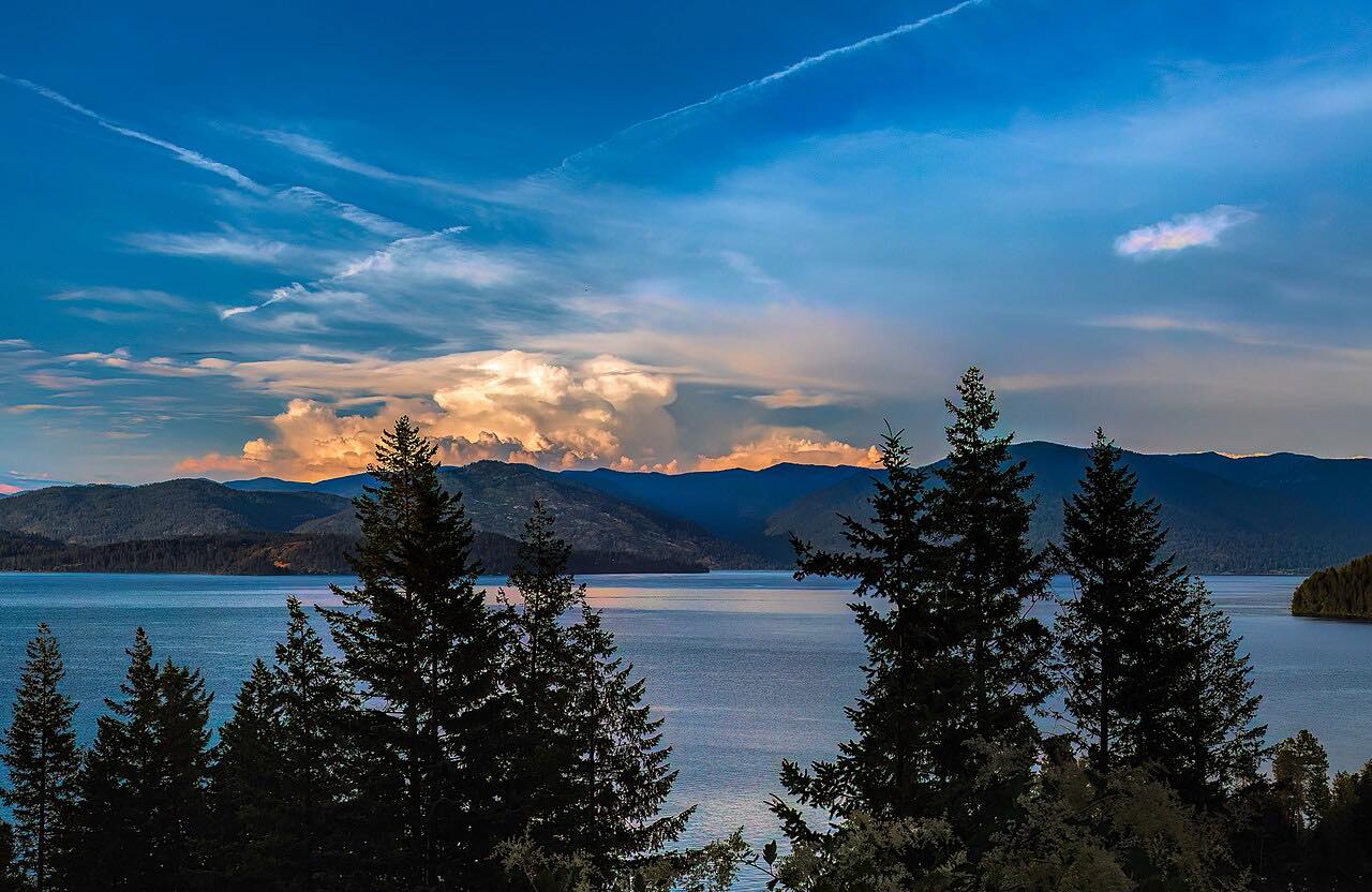

The drive
The Pend Oreille Scenic Byway is Idaho 200, and this drive follows it from Ponderay, just north of Sandpoint at US 95, east along the north shore of Lake Pend Oreille to Clark Fork. The road runs along the rocky northern shore of the lake, with pullouts for views of the open water and the mountains, and roadside interpretive exhibits.
On the way it passes through Kootenai, Hope and East Hope. Through Hope, Idaho 200 Business follows the old US 10A route. The Hope Peninsula, with Sam Owen Campground, reaches out into the lake along the way. The byway ends at Clark Fork, where the Clark Fork River and its delta make an especially good place to watch birds.
It is a gentle drive: 23.6 miles, about 30 minutes without stops, with only easy curves. The landscape was shaped by glaciers and by the floodwaters of Glacial Lake Missoula. Idaho 200 continues past Clark Fork to the Montana line, but this drive stops at the town.
Along the way
- Ponderay (US-95)
- Hope
- Clark Fork
Good to know
- The byway is open year round.
- Pullouts and roadside interpretive exhibits along the lake make good places to stop.
- For current closures and conditions, use Idaho 511.
Open all year, weather permitting. Roads close for snow, fire, storms and repairs: before you set off, check Idaho 511 Traveler Information.
Questions about this drive
How long is the Pend Oreille Scenic Byway drive?
From Ponderay to Clark Fork the Pend Oreille Scenic Byway is 23.6 miles and takes about 30 minutes.
Is the Pend Oreille Scenic Byway open in winter?
Yes. The byway is open year round.
Where does the Pend Oreille Scenic Byway start?
It starts at US 95 in Ponderay, just north of Sandpoint, and follows Idaho 200 east along the north shore of Lake Pend Oreille.
Is the Pend Oreille Scenic Byway twisty?
No. It is rated Leisurely, with gentle curves along the lakeshore.
What you get in the app
Free on iPhone and Android. CarPlay and Android Auto come with Apex.
More drives near here



Distance, time, elevation, curves and intensity are from Carve's route. Checked 2026-10-28.