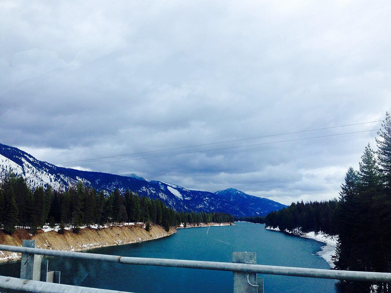
Drives Montana Glacier, the Flathead and Northwest Montana
Bull Lake: Highway 56
MT 56, Bull Lake Road, Bull River Road · Troy → Bull River Junction

The drive
Montana Highway 56 is a quiet forest road, known locally as Bull Lake Road or Bull River Highway. The drive runs south from US 2 at Troy, along the eastern shore of Bull Lake, with the Cabinet Mountains to the east, and down the Bull River valley to Highway 200 at Bull River Junction.
The whole route is inside Kootenai National Forest. The valley is unusual: the Bull River drains south to the Clark Fork, while Bull Lake drains north through Lake Creek to the Kootenai River. The drive is 34.5 miles and takes about 40 minutes, with few services along the way.
Along the way
- Troy (US-2)
- Bull Lake
- Bull River Junction (Highway 200)
Good to know
- Services are few along this road.
Open all year, weather permitting. Roads close for snow, fire, storms and repairs: before you set off, check Montana 511 Travel Information.
Questions about this drive
How long does Montana Highway 56 take to drive?
Troy to Bull River Junction on Highway 56 is 34.5 miles and takes about 40 minutes.
Where does Highway 56 go?
Montana Highway 56 runs from US 2 east of Troy along Bull Lake and the Bull River to Highway 200 near Noxon, inside Kootenai National Forest.
What you get in the app
Free on iPhone and Android. CarPlay and Android Auto come with Apex.
More drives near here



Distance, time, elevation, curves and intensity are from Carve's route. Checked 2026-10-28.