Drives Virginia Shenandoah and the Virginia Blue Ridge
Crabtree Falls Highway: Highway 56
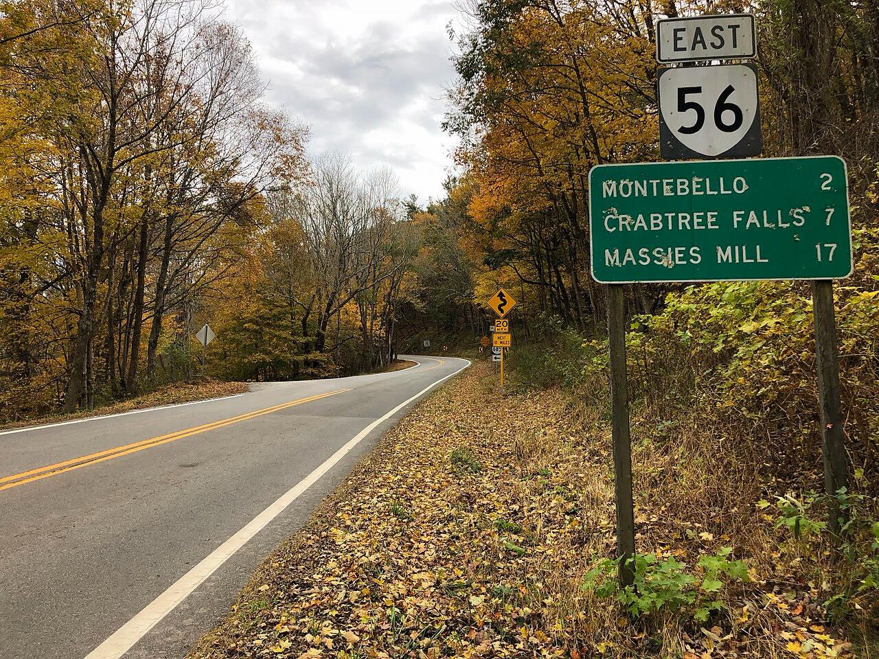
Crabtree Falls Highway, Tye River Turnpike, VA 56 · Massies Mill → Vesuvius


The drive
Virginia State Route 56 crosses the Blue Ridge at Tye River Gap, where it meets the Blue Ridge Parkway. On the Nelson County side it is known as Crabtree Falls Highway. This drive runs 20.8 miles in about 45 minutes, from Massies Mill through Tyro, then along the South Fork of the Tye River past Crabtree Falls and Montebello.
After Tye River Gap the road crosses into Rockbridge County and descends to Vesuvius, passing under a Norfolk Southern railway there. It is twisty most of the way.
Along the way
- Massies Mill
- Tyro
- Montebello
- Tye River Gap
- Vesuvius
Good to know
- The road runs through George Washington National Forest on the climb to the gap.
- Check 511 Virginia for current conditions on Route 56.
Open all year, weather permitting. Roads close for snow, fire, storms and repairs: before you set off, check 511 Virginia: road conditions.
Questions about this drive
How long does Crabtree Falls Highway take to drive?
Crabtree Falls Highway (Virginia Route 56) from Massies Mill to Vesuvius is 20.8 miles and takes about 45 minutes.
Does Route 56 cross the Blue Ridge Parkway?
Yes. Route 56 crosses the Blue Ridge Parkway at Tye River Gap, where it enters Nelson County and becomes Crabtree Falls Highway.
Is Crabtree Falls Highway twisty?
Yes, it is twisty most of the way.
What you get in the app
Free on iPhone and Android. CarPlay and Android Auto come with Apex.
More drives near here
 Blue Ridge Parkway: Rockfish Gap to Otter CreekSweeping · Blue Ridge Parkway · 62 mi
 Goshen Pass: Highway 39Sweeping · Maury River Road, Mountain Valley Road · 30 mi
 Highway 130: Natural Bridge to Big IslandSweeping · VA 130, US 501 · 14.5 mi
 Highway 250: Churchville to BartowSweeping · Hankey Mountain Highway, Highland Turnpike · 59 mi
Distance, time, elevation, curves and intensity are from Carve's route. Checked 2026-10-28.