
Drives Alberta Banff, Jasper and the Canadian Rockies
Red Rock Parkway
Waterton Lakes, Alberta · Waterton entrance road → Red Rock Canyon

The drive
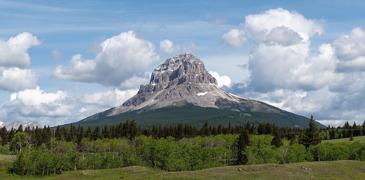
Red Rock Parkway runs 15 km up the Blakiston Valley in Waterton Lakes National Park, through rolling grassland. It ends at Red Rock Canyon, where a self-guided trail loops around the canyon.
Parks Canada calls it a great place to see wildlife and notes scenic pulloffs along the way. The drive is 7.1 miles from the Waterton entrance road up the valley.
Along the way
- Waterton entrance road
- Red Rock Canyon
Good to know
- The road is narrow and may not suit larger motorhomes, according to Parks Canada.
- Dates can shift with weather and construction, so check before you go.
Closed to cars from late October (October 26 in 2026) to early May. Roads close for snow, fire, storms and repairs: before you set off, check Parks Canada: Waterton driving.
Questions about this drive
When is Red Rock Parkway open?
Red Rock Parkway is open to vehicles from early May to late October. It is closed to motor vehicles from November through May but stays open to cyclists and hikers.
How long does Red Rock Parkway take?
Red Rock Parkway is 7.1 miles from the Waterton entrance road to Red Rock Canyon and takes about 20 minutes.
Can RVs drive Red Rock Parkway?
Parks Canada says the road is narrow and may not be suitable for larger motorhomes.
What you get in the app
Free on iPhone and Android. CarPlay and Android Auto come with Apex.
More drives near here



Distance, time, elevation, curves and intensity are from Carve's route. Checked 2026-10-28.