Drives Tennessee Nashville, Kentucky and the Cumberlands
Monteagle Mountain: Highway 41
US 41, Dixie Highway · Monteagle → Pelham

The drive
This is the old highway over Monteagle Mountain. A road across the mountain was first built in 1923, and US 41 later became part of the Dixie Highway network of early auto trails.
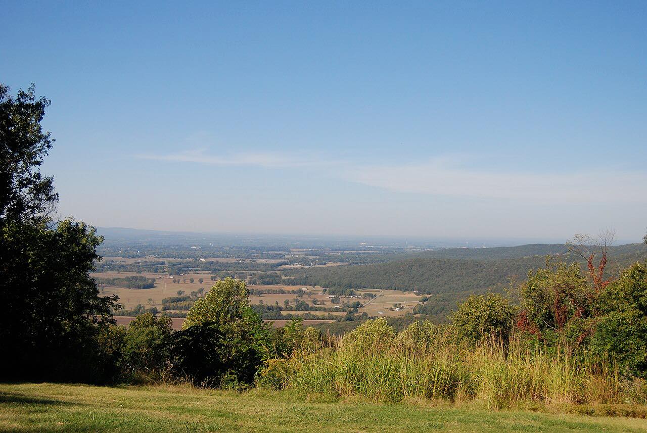
The drive runs 6.7 miles from Monteagle down off the Cumberland Plateau to Pelham, losing elevation from a high point of 1,900 feet. When I-24 was routed over the mountain, TDOT moved US 41 onto SR 150, and I-24 has largely taken over as the major highway, especially for heavy trucks and buses. The older road is short and has two twisty stretches.
Along the way
- Monteagle
- Pelham
Good to know
- Wikipedia says I-24 has largely replaced US 41, so the old road carries less through traffic.
- The drive ends at Pelham; climbing it again means turning around there.
Open all year, weather permitting. Roads close for snow, fire, storms and repairs: before you set off, check TDOT SmartWay.
Questions about this drive
How long does Monteagle Mountain on US 41 take?
US 41 from Monteagle to Pelham is 6.7 miles and takes about 10 minutes.
Is US 41 the same as I-24 over Monteagle?
No. I-24 parallels US 41 across Tennessee and has largely replaced it as the major highway over Monteagle Mountain.
What you get in the app
Free on iPhone and Android. CarPlay and Android Auto come with Apex.
More drives near here





Distance, time, elevation, curves and intensity are from Carve's route. Checked 2026-10-28.