
Drives Arizona Tucson and Southern Arizona
Mount Lemmon: Catalina Highway
Santa Catalina Mountains, Arizona · Tucson → Summerhaven

The drive
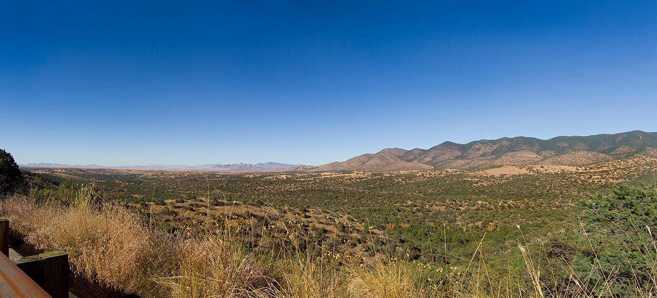
The Catalina Highway climbs from the Tucson desert to Summerhaven near 8,000 feet. You drive through saguaro, then oak, then pine, on long sweeping bends with big views at Windy Point Vista. The climb is about 6,900 feet.
Driven uphill from Tanque Verde Road, the views open behind you and the drive ends in cool pines at Summerhaven. The bends are twisty most of the way.
Along the way
- Tucson (Tanque Verde Road)
- Windy Point Vista
- Summerhaven
Good to know
- Coronado National Forest charges a day-use fee, $8 per vehicle, to park at trailheads, picnic areas and roadside parking; driving through and overlook stops are free.
- The road closes for snow and ice in winter.
- The Palisades Visitor Center is at milepost 19.9.
Open all year, weather permitting. Roads close for snow, fire, storms and repairs: before you set off, check Coronado National Forest alerts.
Questions about this drive
How long does the Catalina Highway take to Summerhaven?
The Catalina Highway from Tanque Verde Road to Summerhaven is 29.4 miles and takes about 50 minutes.
Is there a fee for Mount Lemmon?
Parking at trailheads, picnic areas and roadside sites needs a day pass, $8 per vehicle. Driving the highway is free.
Is the road to Mount Lemmon open in winter?
Usually, but it closes during snow and ice storms. Check the road status before you go.
How twisty is Mount Lemmon?
Twisty most of the way, with three long twisty stretches.
What you get in the app
Free on iPhone and Android. CarPlay and Android Auto come with Apex.
More drives near here



Distance, time, elevation, curves and intensity are from Carve's route. Checked 2026-10-28.