
Drives Texas Big Bend and West Texas
Chisos Basin Road
Chisos Basin Road, Basin Road · Basin Junction → Chisos Basin

The drive
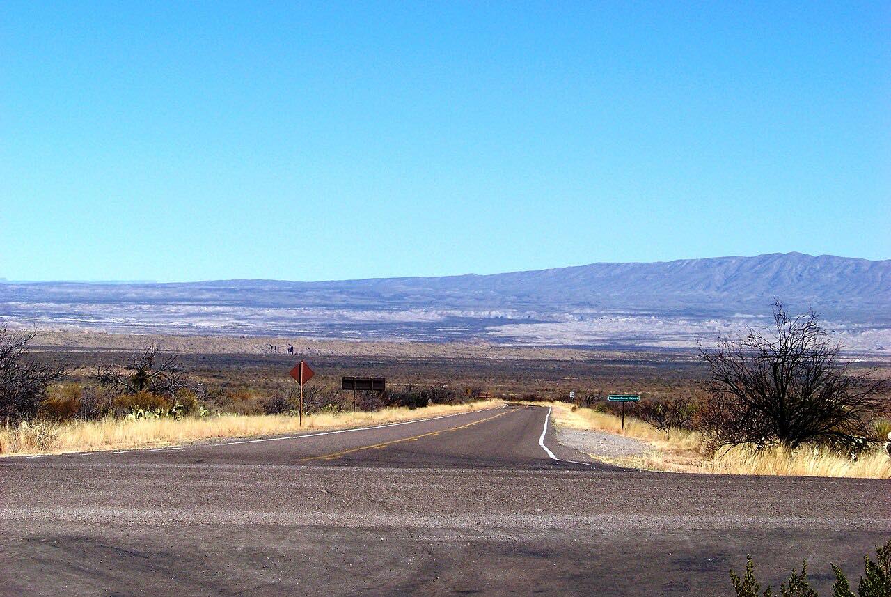
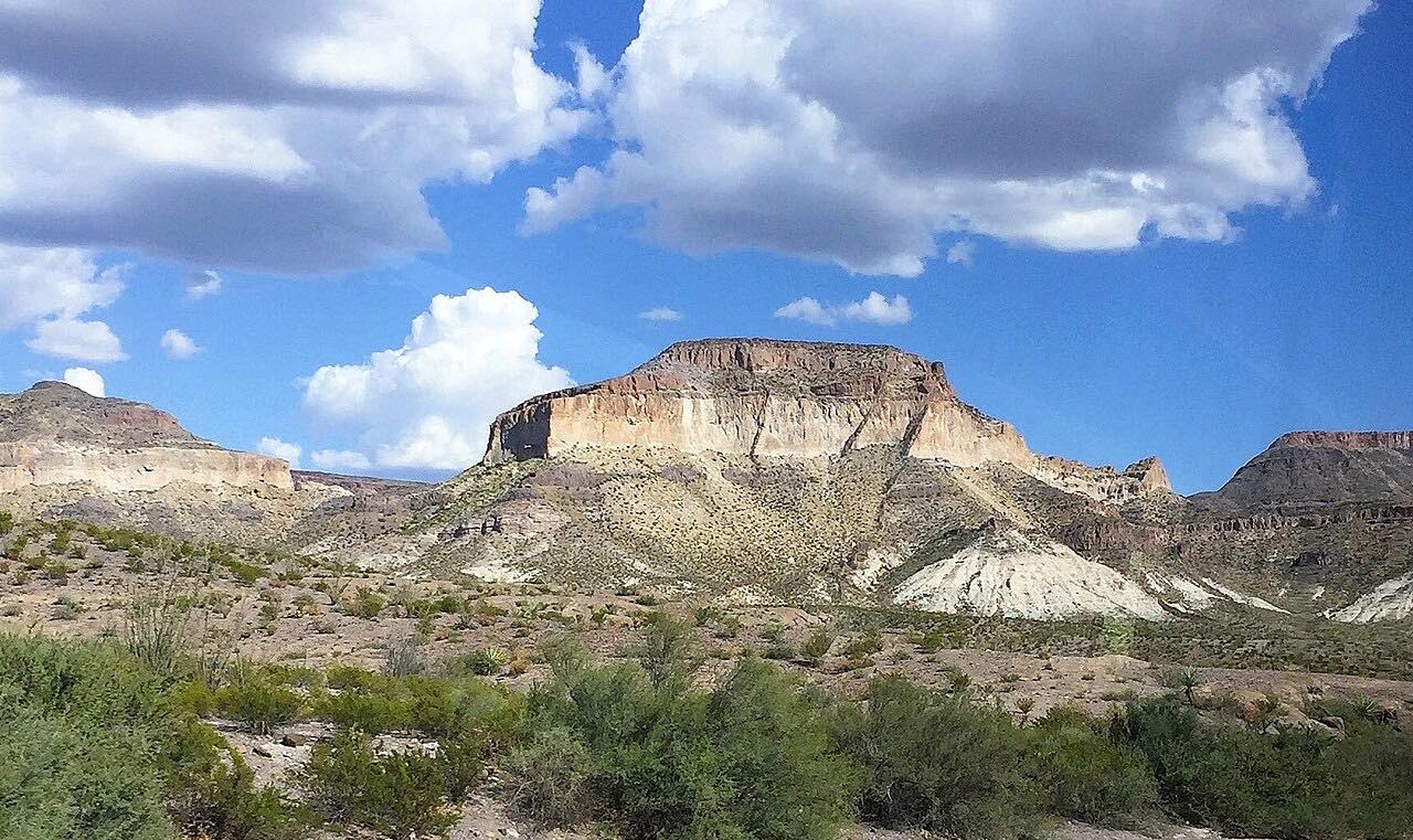
Chisos Basin Road is the only road into the Chisos Mountains, the range at the heart of Big Bend National Park. It leaves the main park road at Basin Junction, on the desert floor, and climbs past Green Gulch and its sotol grasslands, winding up through steep, tight curves over Panther Pass and down into the Chisos Basin, a high bowl ringed by peaks.
The road was built by the Civilian Conservation Corps in the 1930s, and the whole road climbs more than 2,000 feet; grades reach 15 percent. The basin at the top has a visitor center, a campground, the lodge and trailheads into the mountains.
The Animal Highways exhibit at Green Gulch is a good place to stop on the way up. It overlooks a dry wash that animals use as a route at night, and you can look for their tracks.
Along the way
- Basin Junction
- Chisos Basin
Good to know
- There's a park entrance fee per vehicle, good for seven days.
- Trailers over 20 feet and RVs over 24 feet are not recommended, because of the sharp curves and steep grades.
- In the basin the Chisos Basin Visitor Center is open daily; the lodge restaurant is closed for now, with a food truck outside the lodge building.
- A planned closure of the basin for construction was cancelled; the basin and its trails are open.
- The Lost Mine trailhead, just past Panther Pass, has a small lot that is often full.
Open all year, weather permitting. Roads close for snow, fire, storms and repairs: before you set off, check National Park Service: Big Bend current conditions.
Questions about this drive
How long is the Chisos Basin Road?
This drive up Chisos Basin Road from Basin Junction into the Chisos Basin is 4.1 miles and takes about 10 minutes, with about 1,300 feet of climbing on the way.
Can RVs drive the Chisos Basin Road?
The park recommends against trailers over 20 feet and RVs over 24 feet on Chisos Basin Road because of its sharp curves and grades up to 15 percent.
Is the Chisos Basin open?
Usually, but construction or conditions can change that. The Basin Visitor Center is a main stop here; check the park's conditions page before you go.
Is there a fee to drive to the Chisos Basin?
Yes. The Chisos Basin is inside Big Bend National Park, which charges an entrance fee per vehicle, valid for seven days.
What you get in the app
Free on iPhone and Android. CarPlay and Android Auto come with Apex.
More drives near here



Distance, time, elevation, curves and intensity are from Carve's route. Checked 2026-10-28.