Drives Georgia North Georgia and the Upstate
Highway 60: Dahlonega to Morganton
GA 60, Morganton Highway · Stone Pile Gap → Morganton

The drive
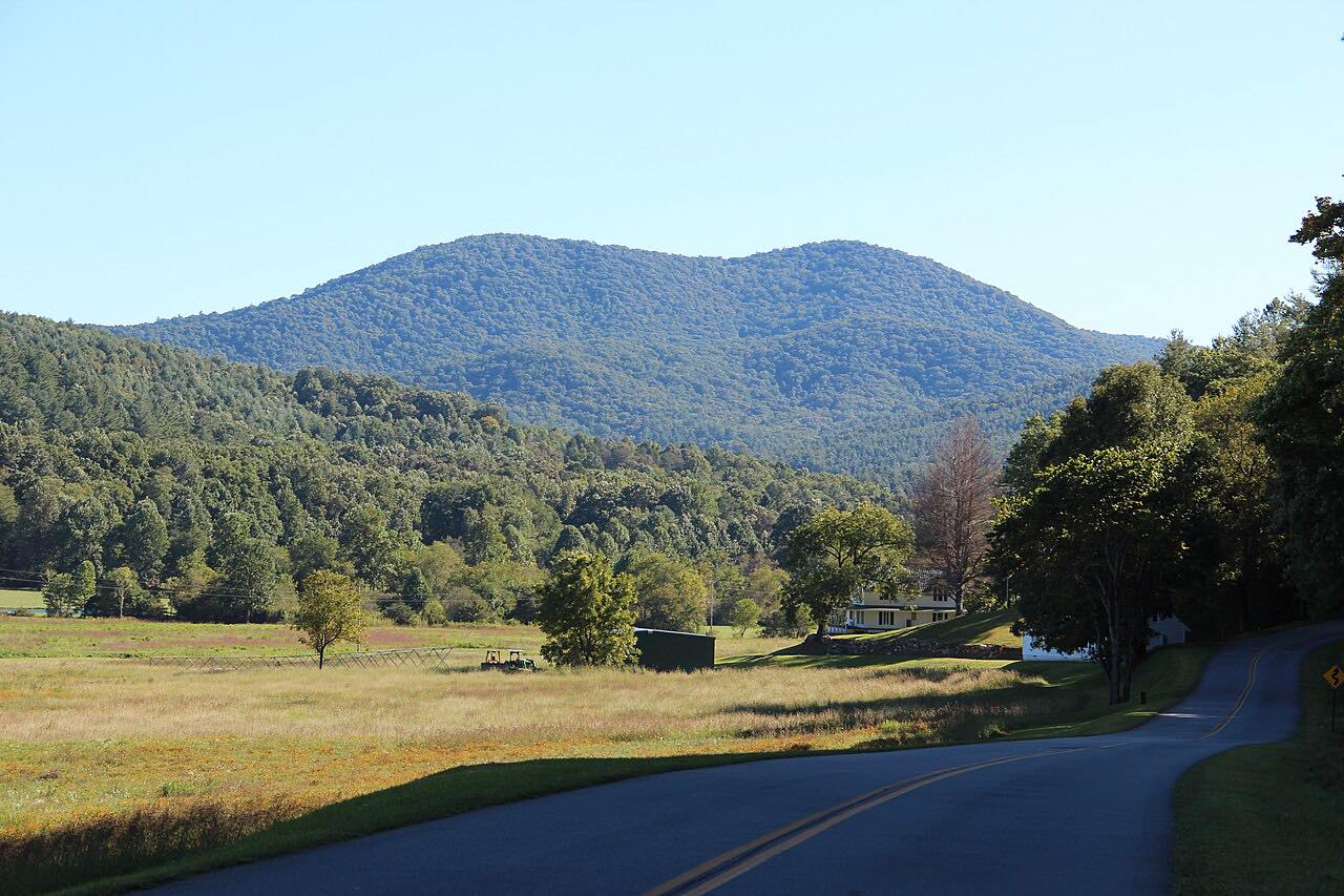
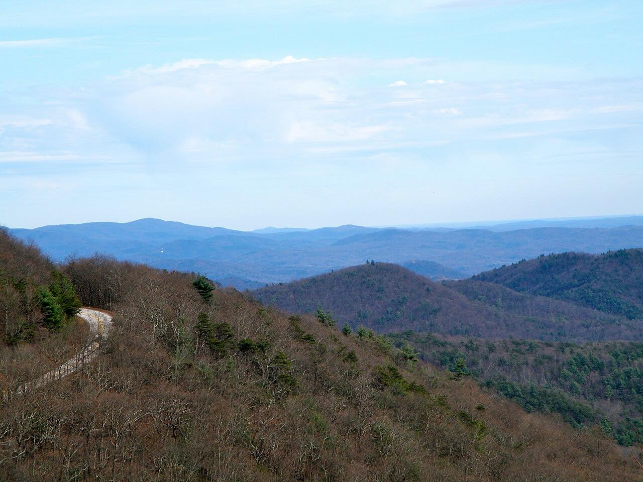
Georgia 60 climbs north out of Dahlonega into the Chattahoochee-Oconee National Forest and becomes a very winding route. This drive starts at Stone Pile Gap on US 19, north of Dahlonega, and ends at Morganton: 33.5 miles in about an hour, with three twisty stretches around miles 0 to 7, 8 to 12 and 18 to 22.
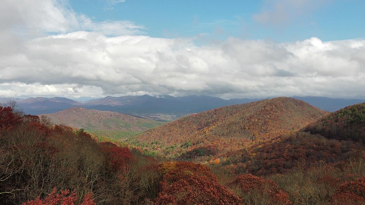
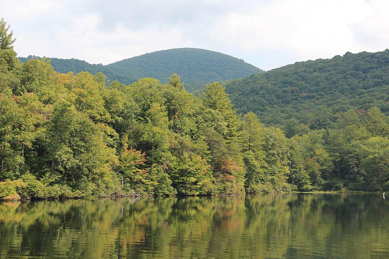
The high point is Woody Gap, 3,160 feet, where the Appalachian Trail crosses the highway. There are views over the Yahoola Valley, and the trailhead is open to the public all year. The gap is named for Arthur Woody, an early conservationist. Woody Lake is next to the road, and Suches is just beyond the gap, where Georgia 180 begins.
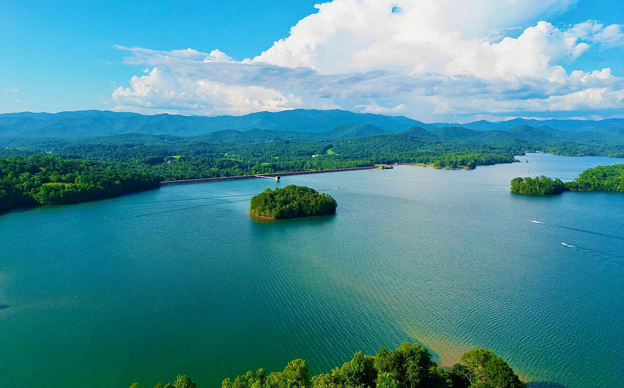
North of Suches the road runs beside the Toccoa River, never more than about 4,000 feet from it, and ends near Morganton.
Along the way
- Stone Pile Gap (US 19, north of Dahlonega)
- Woody Gap
- Morganton
Good to know
- Georgia 180, Wolfpen Gap Road, begins at Suches, so the two drives link up there.
- The Appalachian Trail crosses at Woody Gap, and the trailhead is open to the public all year.
- Check 511GA for closures before you go.
Open all year, weather permitting. Roads close for snow, fire, storms and repairs: before you set off, check 511GA: Georgia road conditions.
Questions about this drive
How long does Georgia 60 from Dahlonega to Morganton take?
The 33.5-mile drive from Stone Pile Gap to Morganton takes about an hour.
How high is Woody Gap?
Woody Gap is 3,160 feet above sea level, where the Appalachian Trail crosses Georgia 60.
Where does Georgia 180 start?
Georgia 180 begins at Georgia 60 in Suches.
How twisty is Georgia 60 over Woody Gap?
Twisty, with the first seven miles from Stone Pile Gap the most winding.
What you get in the app
Free on iPhone and Android. CarPlay and Android Auto come with Apex.
More drives near here

Distance, time, elevation, curves and intensity are from Carve's route. Checked 2026-10-28.