
Drives California The Inland Empire
Highway 74: Hemet to Mountain Center
CA 74, Idyllwild National Forest Highway · Hemet → Highway 74 near Mountain Center

The drive
Highway 74 climbs the south side of the San Jacinto Mountains from Hemet. The drive begins on Florida Avenue (Highway 74) in east Hemet and continues through East Hemet and Valle Vista before entering San Bernardino National Forest. From there the road follows San Jacinto Creek upward and gives access to Hemet Reservoir.
In 12.2 miles it climbs about 2,600 feet, from chaparral and oak into pine forest, and ends near Mountain Center at the junction with Highway 243. Caltrans designates Highway 74 a scenic highway from the national forest boundary east to Highway 111, and the Pines to Palms Highway picks up at Mountain Center.
Along the way
- Hemet (Florida Avenue)
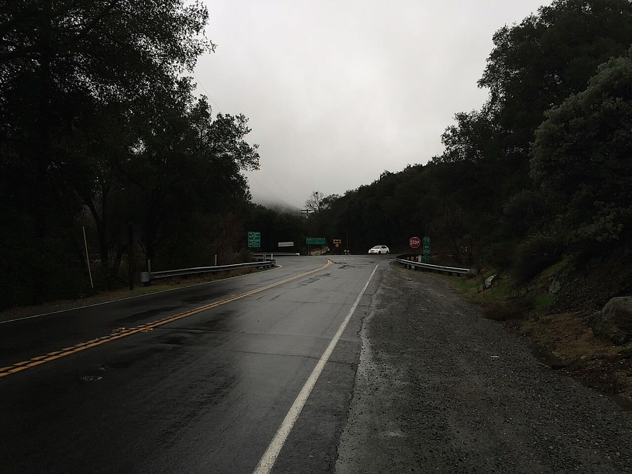
- Highway 74 near Mountain Center
Good to know
- Snow and ice can reach the upper part of the road in winter, and chain controls have been used there; check Caltrans conditions before you drive.
- Storms have closed or damaged Highway 74 near Mountain Center in the past, in 2019 and 2023.
- The road is steep and winding for the whole climb; expect slower vehicles.
Open all year, weather permitting. Roads close for snow, fire, storms and repairs: before you set off, check Caltrans: current highway conditions.
Questions about this drive
How long does Highway 74 from Hemet to Mountain Center take?
Hemet to Mountain Center on Highway 74 is 12.2 miles and takes about 20 minutes.
Is Highway 74 up to Mountain Center twisty?
Yes. It is rated Twisty: mostly moderate bends with two tighter stretches on a steep climb of about 2,600 feet.
What is at the top of the Highway 74 climb from Hemet?
The drive ends near Mountain Center, where Highway 243 meets Highway 74. The road continues east as the Pines to Palms Highway.
Does Highway 74 near Mountain Center get snow?
It can. Reports from past storms describe snow and ice on Highway 74 in the mountains, with chain controls. Check Caltrans before driving in winter.
What you get in the app
Free on iPhone and Android. CarPlay and Android Auto come with Apex.
More drives near here



Distance, time, elevation, curves and intensity are from Carve's route. Checked 2026-10-28.