
Drives California The Inland Empire
Pines to Palms Highway
CA 74 · Mountain Center → Palm Desert

The drive
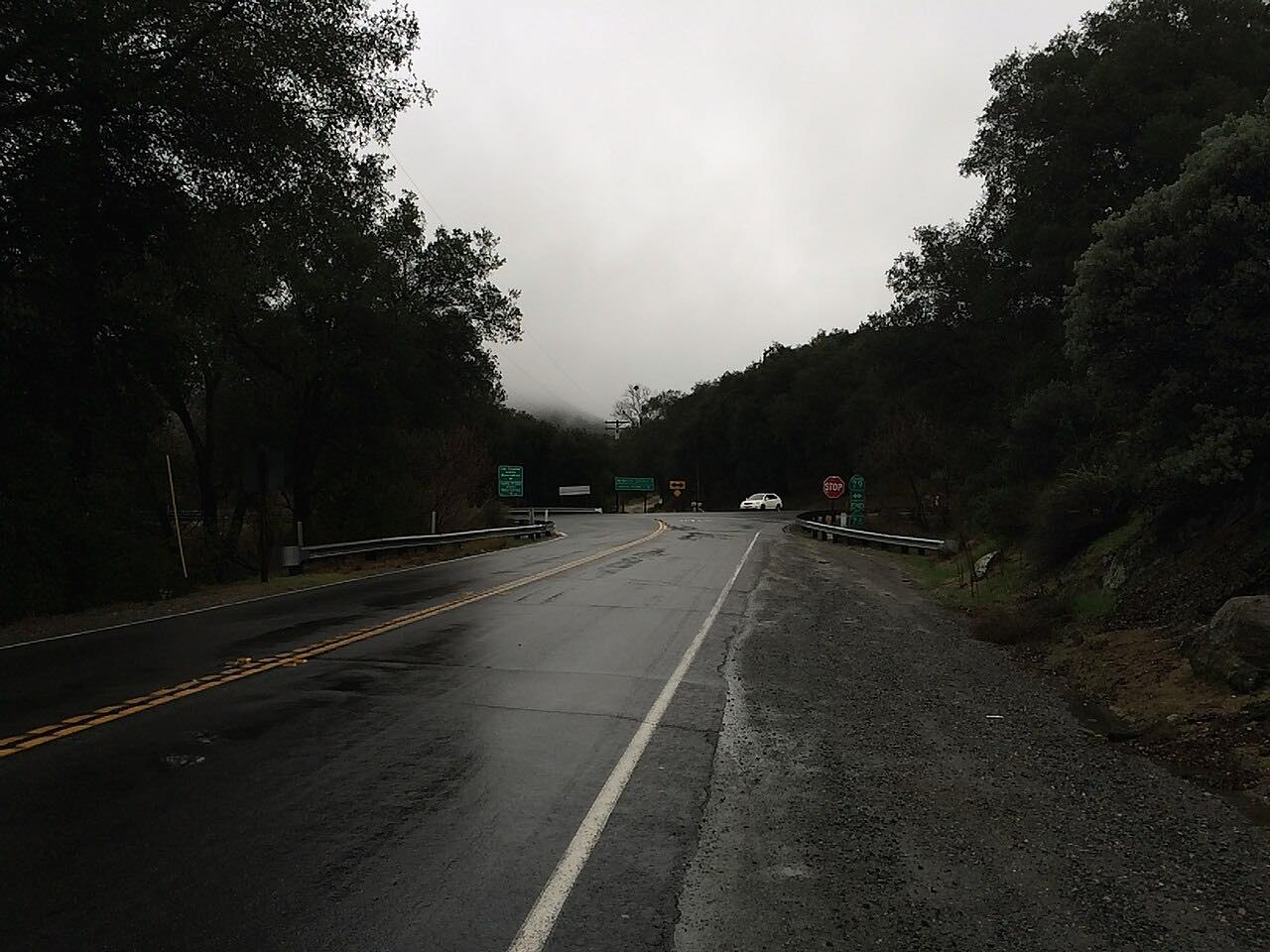
The Pines to Palms Highway is Highway 74 between the San Jacinto Mountains and the Coachella Valley, part of the Palms to Pines Scenic Byway. This drive runs it downhill, starting at Mountain Center just past the Highway 243 junction, in pine and oak forest near the Keen Camp summit at about 4,900 feet.
It runs down Garner Valley past Lake Hemet, a small reservoir ringed by campgrounds and picnic areas, to the Paradise Valley Cafe at the Highway 371 junction, a long-time stop for drivers, motorcyclists and Pacific Crest Trail hikers. Beyond it the road crosses the Santa Rosa Indian Reservation and the high desert around Pinyon, where the forest gives way to brush and cactus and the road rolls in wide, easy curves.
The last part is the reason to drive it this way. The highway drops off the Santa Rosa Mountains in a long run of switchbacks through the Santa Rosa and San Jacinto Mountains National Monument, with the Coachella Valley spread out below, past the Coachella Valley Vista Point and on to the monument's visitor center near the bottom of the grade in Palm Desert.
Along the way
- Mountain Center (Highway 243)
- Paradise Valley Cafe
- Palm Desert
Good to know
- There are no services through the national monument between Paradise Valley and Palm Desert, and cell service is spotty along the byway.
- The switchback descent is steep and winding; use a low gear rather than riding the brakes.
- The Coachella Valley Vista Point has a large parking area and is the best place to stop for the view.
- The Santa Rosa and San Jacinto Mountains Visitor Center on Highway 74 is open Thursday through Monday.
Open all year, weather permitting. Roads close for snow, fire, storms and repairs: before you set off, check Caltrans highway conditions: Highway 74.
Questions about this drive
How long does the Pines to Palms Highway take?
Highway 74 from Mountain Center to Palm Desert is 33.7 miles and takes about 45 minutes without stops.
Is the Pines to Palms Highway twisty?
It's mostly gentle curves across the plateau, then the Pines to Palms Highway drops into Palm Desert in a long series of steep switchbacks.
Where is the best view on the Pines to Palms Highway?
The Coachella Valley Vista Point, partway down the switchbacks above Palm Desert, has parking and views over the valley to the San Jacinto and San Gorgonio mountains.
Are there gas stations on the Pines to Palms Highway?
Fuel is available in Mountain Center and Palm Desert, but there are no services on the national monument stretch of Highway 74 between Paradise Valley and Palm Desert.
What you get in the app
Free on iPhone and Android. CarPlay and Android Auto come with Apex.
More drives near here



Distance, time, elevation, curves and intensity are from Carve's route. Checked 2026-10-28.