
Drives California San Diego
Palomar Mountain: South Grade Road
South Grade, S6 · Highway 76 → Palomar Observatory

The drive
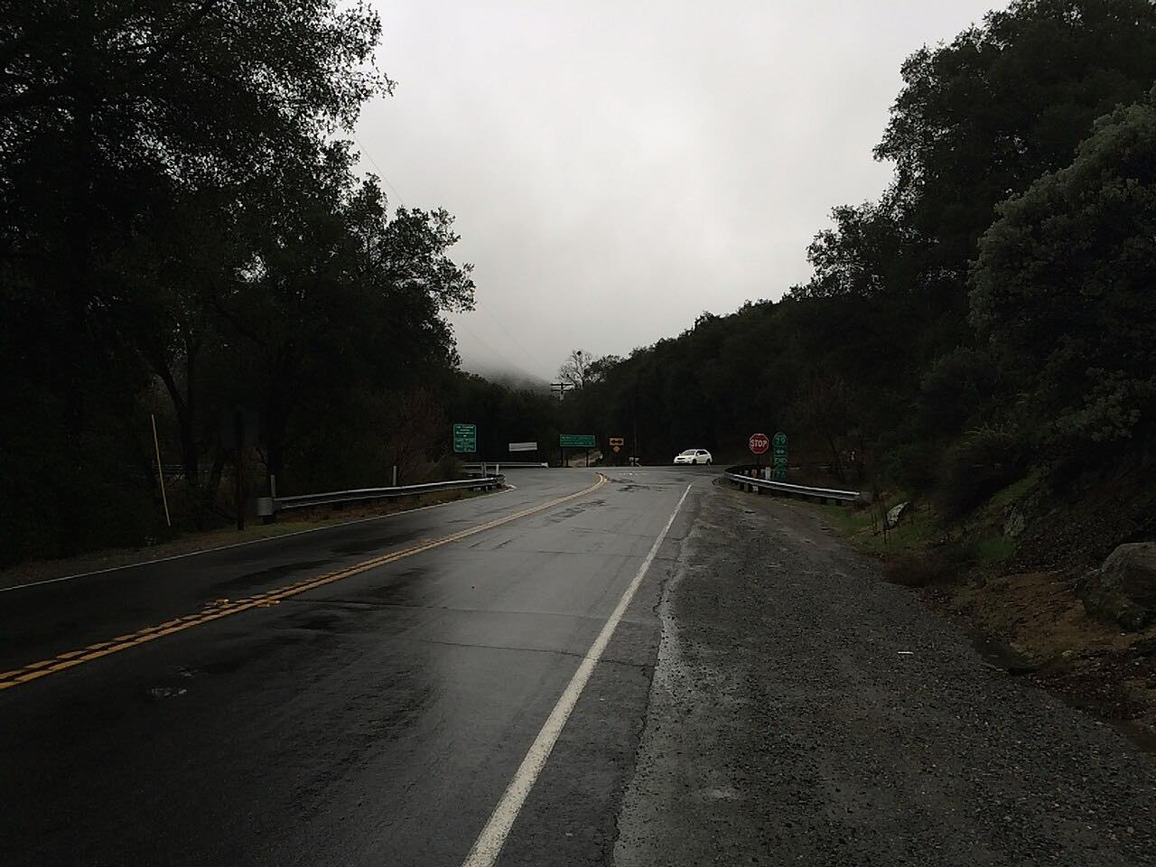
South Grade Road, County Road S6, is the famous climb up Palomar Mountain. It leaves Highway 76 in a Y to the left and goes straight up the mountain in the Cleveland National Forest: more than 20 hairpins in about seven miles, with decreasing-radius turns, long sweepers and wide views from the mountainside.
At the top of the grade it reaches the junction with East Grade Road, S7, and Mother's Kitchen, a restaurant with restrooms. From there Canfield Road carries on through oak and conifer forest toward Palomar Observatory, home of the 200-inch Hale Telescope, at 5,598 feet. The drive ends just short of the observatory grounds.
It's driven uphill, as most drivers take it: South Grade is the twisty way up, and East Grade the gentler way down.
Along the way
- Highway 76
- Mother's Kitchen
- Palomar Observatory
Good to know
- It's one of the best-known motorcycle roads in Southern California: expect riders, sometimes over the line, and police patrols.
- Much of the grade has no guardrail and steep drop-offs.
- There are no gas stations on Palomar Mountain; check your fuel before you start up.
- Watch for fog and fallen rock, especially during and after rain; in winter storms snow and ice are common, and the Highway Patrol often requires chains.
- The observatory's visitor parking lot closes and locks at 3 p.m. in winter (3:30 p.m. in summer), and there's no overnight parking.
Open all year, weather permitting. Roads close for snow, fire, storms and repairs: before you set off, check Palomar Observatory: driving and road conditions.
Questions about this drive
How long does South Grade Road up Palomar Mountain take?
South Grade Road from Highway 76 to Palomar Observatory is 11 miles and takes about 25 minutes, climbing about 3,500 feet.
How many hairpins are on Palomar Mountain's South Grade?
South Grade Road, S6, has more than 20 hairpins in about seven miles, and it's twisty most of the way to the top.
Do you need chains on Palomar Mountain?
In winter storms, snow and ice are common on Palomar Mountain, and the Highway Patrol often requires tire chains on South Grade Road.
Is there gas on Palomar Mountain?
No. There are no gas stations on Palomar Mountain, so fill up before you start up South Grade Road.
Should you go up South Grade or East Grade on Palomar?
Most drivers go up South Grade Road (S6), the twisty one, and come down East Grade Road (S7), which is gentler.
What you get in the app
Free on iPhone and Android. CarPlay and Android Auto come with Apex.
More drives near here



Distance, time, elevation, curves and intensity are from Carve's route. Checked 2026-10-28.