Drives California San Diego
Highway 76: Pala to Lake Henshaw
CA 76, Pala Road · Pala → Highway 79 junction


The drive
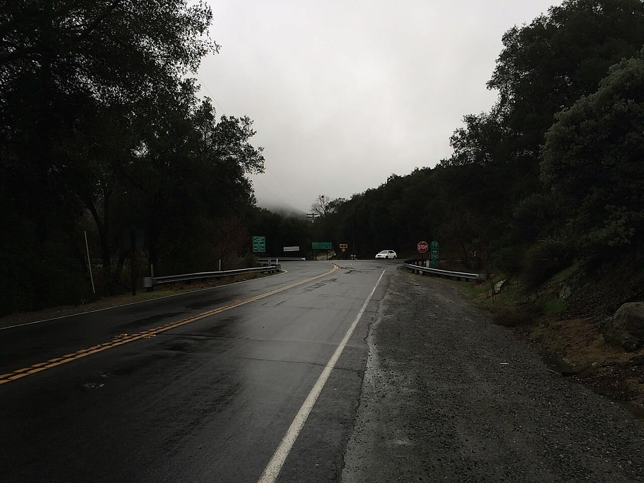
Highway 76 east of Pala is a quiet rural road up the San Luis Rey valley. This drive starts in Pala and heads east past farms and orchards to Pauma Valley, then continues past the turnoff for Palomar Mountain toward Lake Henshaw. It ends at the Highway 79 junction after 23.6 miles.
The road climbs about 3,400 feet in total to a high point of nearly 2,800 feet, with rock outcrops and long curves. The eastern section is quieter and more rural than Highway 76 near the coast and Interstate 15.
Staying on Highway 76 at the Palomar turnoff keeps you on the Lake Henshaw route. The Palomar Mountain South Grade is a separate drive and this one does not repeat it.
Along the way
- Pala
- Highway 79 junction
Good to know
- Traffic is light, but maintenance work has caused weekday delays, so check Caltrans.
- Lake-effect fog can roll in near Lake Henshaw.
- The road is two lanes with long curves and few services.
- Palomar Mountain is reached by turning off at County Road S6 or S7, not by staying on Highway 76.
Open all year, weather permitting. Roads close for snow, fire, storms and repairs: before you set off, check Caltrans: State Route 76 road conditions.
Questions about this drive
How long does Highway 76 from Pala to Lake Henshaw take?
Highway 76 from Pala to the Highway 79 junction is 23.6 miles and takes about 32 minutes.
Where does Highway 76 end?
Highway 76 ends at its junction with Highway 79 near Lake Henshaw. This drive covers the Pala to Lake Henshaw stretch.
Is Highway 76 east of Pala twisty?
It has long curves through orchards and rock outcrops rather than tight switchbacks, and it is quieter than the stretch near the coast.
How do I get to Palomar Mountain from Highway 76?
Palomar Mountain is reached by turning north onto a county road off Highway 76. This drive passes the turnoff without taking it.
What you get in the app
Free on iPhone and Android. CarPlay and Android Auto come with Apex.
More drives near here
 Palomar Mountain: South Grade RoadIntense · South Grade, S6 · 11.1 mi
 Palomar Mountain: East Grade RoadIntense · Canfield Road, East Grade · 12.2 mi
 Highway 78: Ramona to JulianSweeping · Old Julian Highway, Julian Road · 20 mi
 Highway 74: Hemet to Mountain CenterTwisty · CA 74, Idyllwild National Forest Highway · 12.2 mi
Distance, time, elevation, curves and intensity are from Carve's route. Checked 2026-10-28.