


The drive
Montezuma Valley Road, County Road S22, is the dramatic way into Borrego Springs from the west. From Ranchita it crosses the high, open country of Montezuma Valley, then winds through rugged terrain around Culp Valley before the Montezuma Grade drops off the mountain in a long string of sharp curves and grade changes.
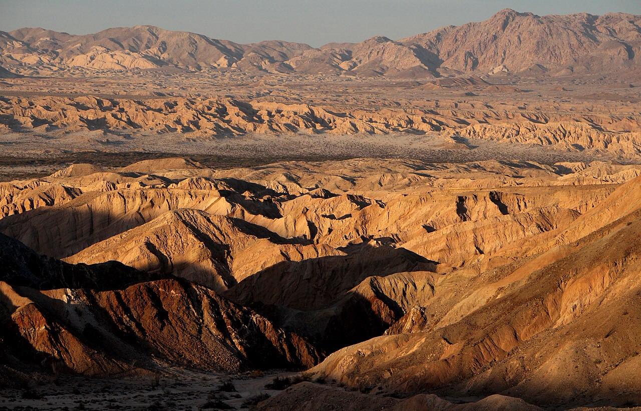
Near the bottom of the grade, around milepost 12.5, an overlook with interpretive signs looks east over Borrego Springs and Anza-Borrego Desert State Park and tells the story of the park's peninsular bighorn sheep. Then the road levels out as Palm Canyon Drive and runs into Borrego Springs, ending just short of Christmas Circle in the middle of town.
It's driven downhill, so the desert opens up in front of you all the way down.
Along the way
- Ranchita
- Borrego Springs (Christmas Circle)
Good to know
- There are no services on S22 west of Borrego Springs; gas and food are on Palm Canyon Drive in town.
- Summer temperatures above 110 degrees are common at the bottom; carry water.
- Cell coverage in the desert is limited or nonexistent.
- There's a passing lane at the top of the grade for traffic heading uphill.
Open all year, weather permitting. Roads close for snow, fire, storms and repairs: before you set off, check San Diego County: scheduled road closures.
Questions about this drive
How long does Montezuma Grade from Ranchita to Borrego Springs take?
Montezuma Grade, S22, from Ranchita to Christmas Circle in Borrego Springs is 15 miles and takes about 20 minutes without stops.
Is there a viewpoint on Montezuma Grade?
Yes. The Montezuma Valley Road overlook near milepost 12.5 on S22 looks east over Borrego Springs, with signs about the town, the park and its bighorn sheep.
How twisty is Montezuma Grade?
Montezuma Grade on S22 has several grade changes and sharp curves, with three twisty stretches as it drops toward Borrego Springs.
When is the best time to drive Montezuma Grade?
Fall through spring. Summer temperatures in Borrego Springs often top 110 degrees.
What you get in the app
Free on iPhone and Android. CarPlay and Android Auto come with Apex.
More drives near here
 Great Southern Overland Stage Route (S2)Leisurely · Great Southern Overland Stage Route, S2 · 47 mi
 Banner Grade: Julian to BorregoTwisty · CA 78, Yaqui Pass · 24 mi
 Palomar Mountain: East Grade RoadIntense · Canfield Road, East Grade · 12.2 mi
 Highway 78: Ramona to JulianSweeping · Old Julian Highway, Julian Road · 20 mi
Distance, time, elevation, curves and intensity are from Carve's route. Checked 2026-10-28.