Drives California San Diego
Great Southern Overland Stage Route (S2)
Great Southern Overland Stage Route, S2, Imperial Highway · Scissors Crossing → Ocotillo

The drive
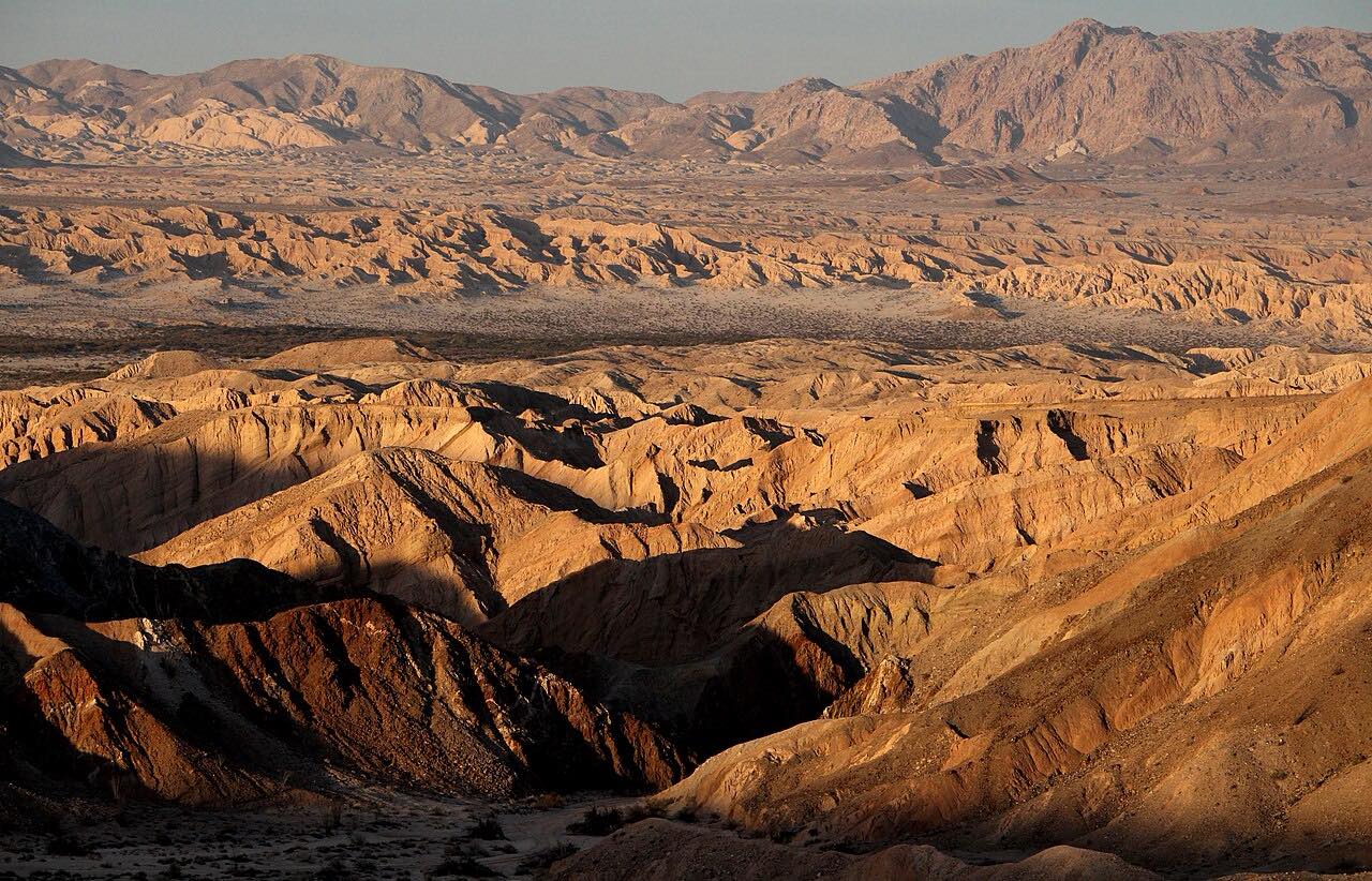
County Route S2 is the Great Southern Overland Stage Route, the main paved road into the southern half of Anza-Borrego Desert State Park. This drive starts at Scissors Crossing on Highway 78 and runs south for 47 miles to Ocotillo, near Interstate 8. It passes through Earthquake Valley, Blair Valley, Mason Valley and Vallecito Valley, and in Carrizo Valley it is known as Sweeney Pass Road.
The road is mostly gentle, across open desert, and the park covers 640,000 acres, making it California's largest state park. Vallecito County Park, on the route, is built around a reconstruction of the Vallecito Stage Station, on a site used as a campsite for hundreds of years, beginning with the Kumeyaay. The Carrizo Badlands Overlook sits on the east side of the road south of Sweeney Pass.
Along the way
- Scissors Crossing (Highway 78)
- Ocotillo (Evan Hewes Highway)
Good to know
- Cell phone coverage in the park is spotty or nonexistent.
- Summer temperatures can reach 125 degrees F; carry at least a gallon of water per person per day.
- Services are far apart, so fill the tank before you start.
- Most dirt roads off S2 need AWD or 4x4, and some need high clearance.
Open all year, weather permitting. Roads close for snow, fire, storms and repairs: before you set off, check Anza-Borrego Desert State Park.
Questions about this drive
How long does County Route S2 through Anza-Borrego take?
S2 from Scissors Crossing to Ocotillo is 47 miles and takes about 1 hr 5 min.
Where does S2 start and end?
This drive starts at Scissors Crossing on Highway 78 and ends near Ocotillo and Interstate 8.
Is there cell service on S2 in Anza-Borrego?
Very little. The park says cell phone coverage is spotty or nonexistent, so carry supplies and plan for self-rescue.
Is S2 paved?
Yes. S2 is the paved road through the south end of Anza-Borrego Desert State Park, but the dirt roads that leave it often need AWD or 4x4.
What you get in the app
Free on iPhone and Android. CarPlay and Android Auto come with Apex.
More drives near here


Distance, time, elevation, curves and intensity are from Carve's route. Checked 2026-10-28.