
Drives California San Diego
Banner Grade: Julian to Borrego
CA 78, Yaqui Pass, S3 · Julian → Borrego Springs

The drive
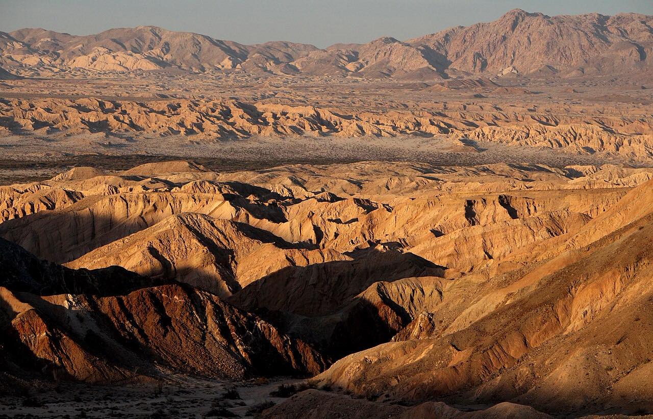
This is the classic way down from the mountains to the desert. Highway 78 leaves the east edge of Julian and drops down Banner Grade: about four miles of steep, twisting road with a wide view over Banner Canyon, Earthquake Valley and the Anza-Borrego Desert below.
At the bottom it passes Banner and reaches Scissors Crossing, where Highway 78 meets County Road S2. From there it follows San Felipe Creek through Sentenac Canyon into Anza-Borrego Desert State Park. Yaqui Pass Road, County Road S3, then turns north and climbs over Yaqui Pass before dropping into Borrego Springs.
It's driven downhill from Julian, the usual direction from San Diego. Montezuma Grade, S22, is the other road between Borrego Springs and the mountains, and the two make a loop.
Along the way
- Julian
- Banner
- Yaqui Pass Road
- Borrego Springs
Good to know
- Banner Grade is a common place for crashes: take the curves at your own pace, and watch for downhill traffic taking more than its share of the road when you're climbing.
- Summer temperatures in Anza-Borrego can reach 125 degrees: carry plenty of water, at least a gallon per person per day.
- Cell coverage in the desert is limited or nonexistent.
- Anza-Borrego's developed day-use areas and trailheads, including Tamarisk Grove, charge a day-use fee per vehicle.
Open all year, weather permitting. Roads close for snow, fire, storms and repairs: before you set off, check Caltrans: Highway 78 conditions.
Questions about this drive
How long is the drive from Julian to Borrego Springs by Banner Grade?
Julian to Borrego Springs by Banner Grade, Highway 78 and Yaqui Pass Road is 24 miles and takes about 35 minutes without stops.
How steep is Banner Grade?
Banner Grade on Highway 78 east of Julian is about four miles of steep, twisting road, dropping from the mountains toward the desert floor.
What is the best time of year to drive to Borrego Springs?
Fall through spring. In summer, temperatures in Anza-Borrego Desert State Park can reach 125 degrees, and some park campgrounds, like Tamarisk Grove, close from June through September.
What you get in the app
Free on iPhone and Android. CarPlay and Android Auto come with Apex.
More drives near here


Distance, time, elevation, curves and intensity are from Carve's route. Checked 2026-10-28.