Drives California The Bay Area
Mount Diablo Summit Road
Mount Diablo Scenic Boulevard, South Gate Road, Summit Road · Diablo → Mount Diablo summit

The drive
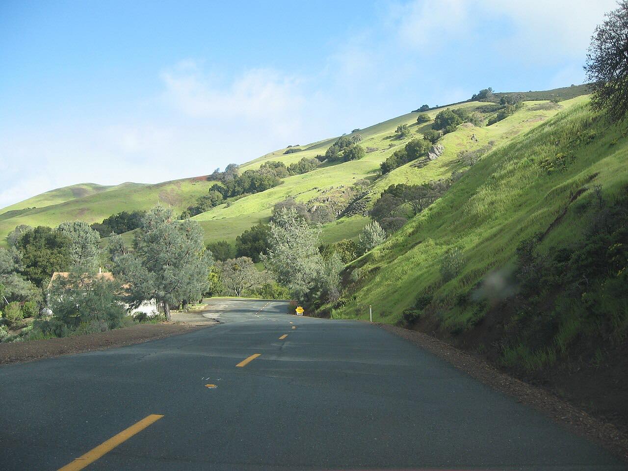
Mount Diablo stands alone at the east edge of the Bay Area, and the road up it is the reason most people come. From the town of Diablo, Mount Diablo Scenic Boulevard winds uphill to the South Gate entrance of Mount Diablo State Park. South Gate Road continues past the sandstone outcrops of Rock City, about a mile above the kiosk, and climbs to the Junction, where Summit Road takes over for the steep, winding last stretch to the top.
The summit is 3,849 feet, and on the clearest days California State Parks says you can see almost 200 miles, across parts of 40 of the state's 58 counties: the Golden Gate, the Central Valley and, beyond it, the Sierra Nevada. The Summit Visitor Center sits in a stone tower built in the late 1930s from fossil-bearing sandstone quarried in the park.
It's driven uphill from the Danville side through the South Gate, the longer and more scenic of the park's two climbs.
Along the way
- Diablo (Diablo Road)
- Mount Diablo summit
Good to know
- There's a vehicle day-use fee at the South Gate entrance, and gates open at 8 a.m. and close at sunset.
- Trailers and motorhomes are limited to 20 feet, and buses are advised to use a pilot car.
- Expect many cyclists; the park has bike turnouts along South Gate and Summit roads, so pass only where it's safe.
- The park can close on days of extreme fire danger.
Open all year, weather permitting. Roads close for snow, fire, storms and repairs: before you set off, check California State Parks: Mount Diablo State Park.
Questions about this drive
How long is the drive up Mount Diablo?
The drive from Diablo up Mount Diablo Scenic Boulevard, South Gate Road and Summit Road to near the summit is 10 miles and takes about 40 minutes without stops.
Is there a fee to drive up Mount Diablo?
Yes. Mount Diablo State Park charges a vehicle day-use fee at the South Gate and North Gate entrances.
What time does the Mount Diablo summit road open?
Mount Diablo State Park's gates open at 8 a.m. and close at sunset, and visitors should be in their cars and leaving by sunset.
Can you take an RV up Mount Diablo?
Only a small one. Mount Diablo State Park limits trailers and motorhomes to 20 feet on its roads.
How far can you see from Mount Diablo?
On the clearest days you can see almost 200 miles from the 3,849-foot summit of Mount Diablo, according to California State Parks.
What you get in the app
Free on iPhone and Android. CarPlay and Android Auto come with Apex.
More drives near here




Distance, time, elevation, curves and intensity are from Carve's route. Checked 2026-10-28.