Drives Tennessee Knoxville, Chattanooga and East Tennessee
Highway 30: Etowah to Reliance
TN 30 · Highway 411 → Highway 64

The drive
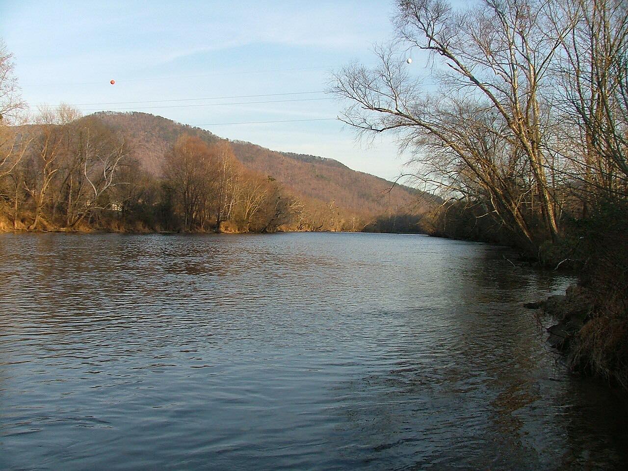
Highway 30 leaves US 411 just past the Hiwassee River and turns east up the Hiwassee Valley into the Cherokee National Forest. This drive starts there and runs 14.7 miles to US 64 near the Ocoee.
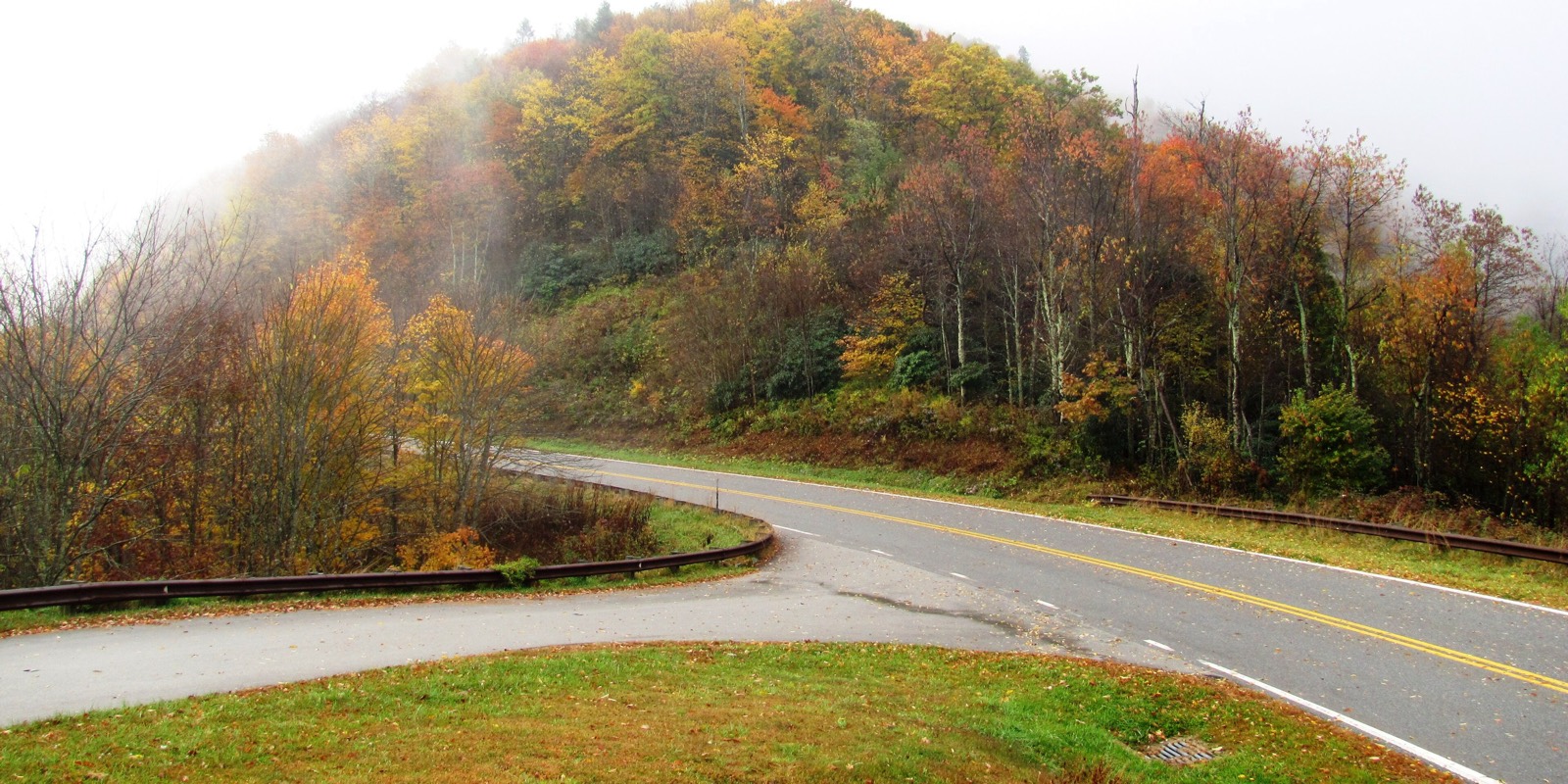
In Reliance, TN 30 meets TN 315, which runs north toward Tellico Plains. Just beyond that junction the highway turns sharply south into the Greasy Creek Valley and follows it southwest to the Ocoee River at US 64, the Ocoee Scenic Byway. The road is Twisty, with three tight stretches, and climbs about 1,600 feet.
Along the way
- Highway 411
- Reliance
- Highway 64 (Ocoee)
Good to know
- The road is a narrow two-lane with little shoulder.
- The Forest Service says TN 30 continues from Reliance through the community of Greasy Creek to US 64.
Open all year, weather permitting. Roads close for snow, fire, storms and repairs: before you set off, check TDOT SmartWay.
Questions about this drive
How long does Highway 30 from US 411 to the Ocoee take?
Highway 30 from US 411 to US 64 at the Ocoee is 14.7 miles and takes about 30 minutes.
Where does Highway 30 end near Reliance?
Past Reliance, TN 30 follows Greasy Creek to the Ocoee River and ends at US 64, which is also the Ocoee Scenic Byway.
What you get in the app
Free on iPhone and Android. CarPlay and Android Auto come with Apex.
More drives near here

Distance, time, elevation, curves and intensity are from Carve's route. Checked 2026-10-28.