Drives Tennessee Knoxville, Chattanooga and East Tennessee
Ocoee Scenic Byway: Highway 64
US 64 · Parksville → Ducktown

The drive
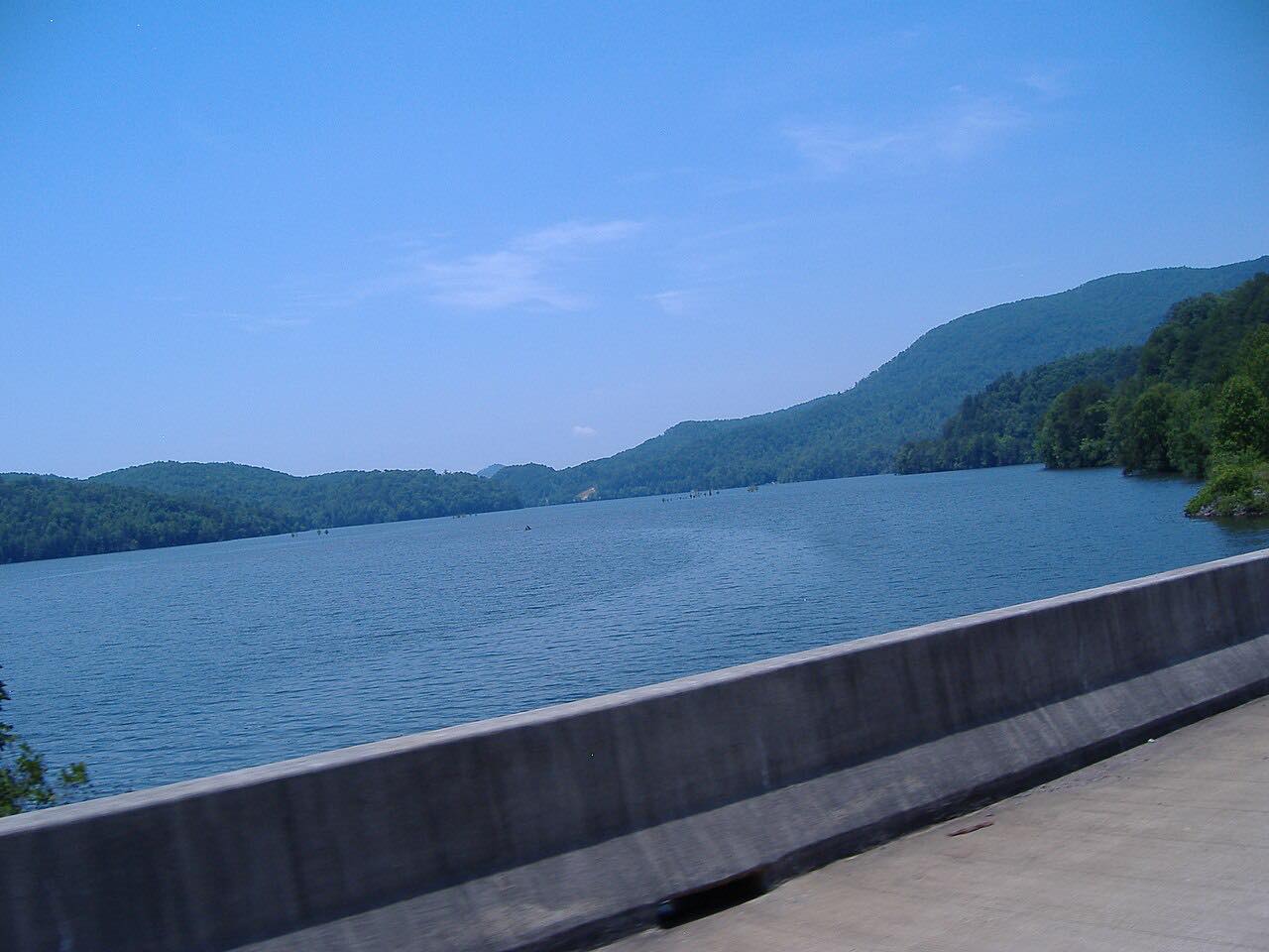
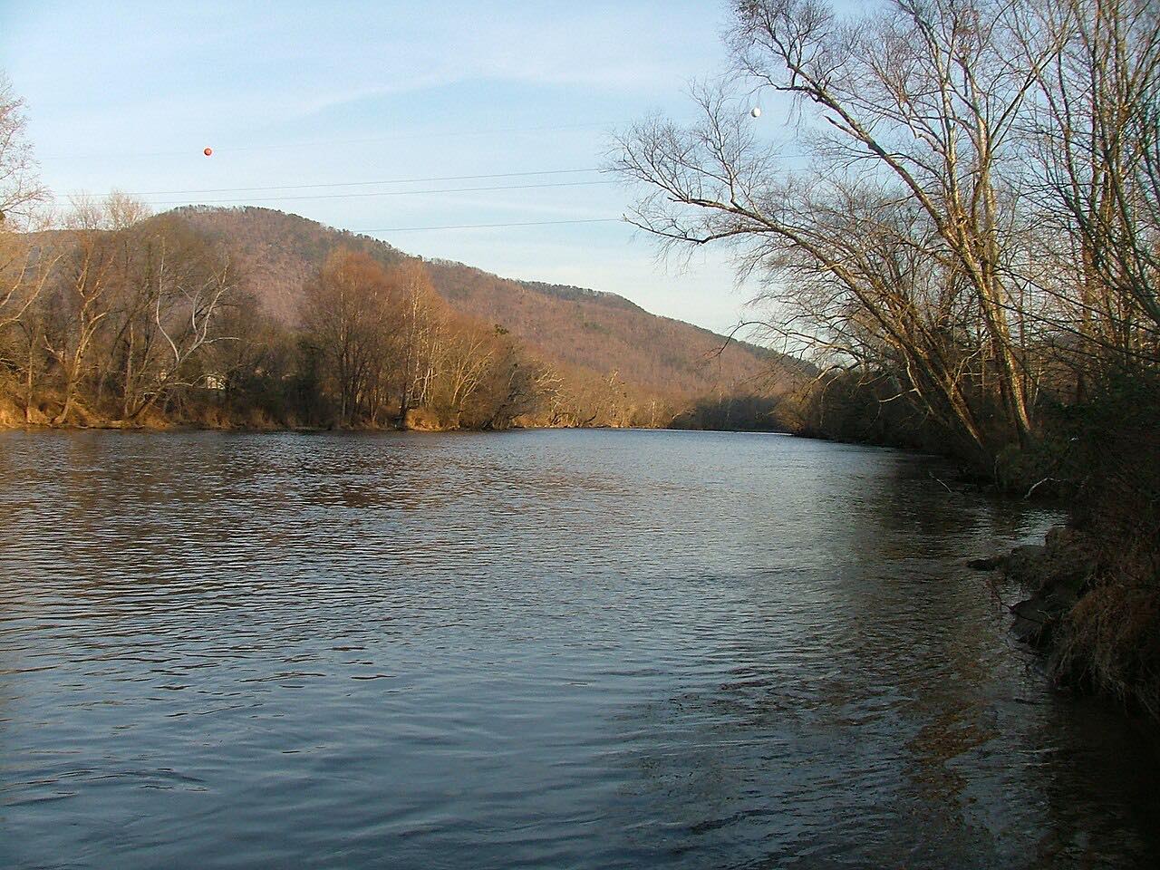
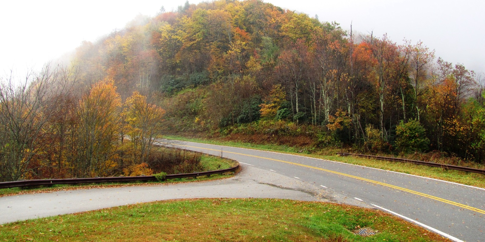
US 64 climbs east up the Ocoee River gorge from Parksville Lake to Ducktown. The Ocoee Scenic Byway, a National Forest Scenic Byway designated in 1988, runs along the river's north bank through the Blue Ridge Mountains.
The highway winds through a narrow gorge past the powerhouse and diversion dam for Ocoee Dam No. 2 and the powerhouse for Dam No. 3, then briefly becomes a four-lane divided highway before the Ocoee Whitewater Center. East of the gorge it climbs with a truck climbing lane into the Copper Basin.
It is 19.3 miles and about 25 minutes, with mostly gentle curves and one twisty stretch.
Along the way
- Parksville (Highway 314)
- Ducktown (Postelle Road)
Good to know
- The gorge is prone to rock slides; a November 2009 slide closed the byway for several months.
- Check TDOT SmartWay for closures, especially after heavy rain.
Open all year, weather permitting. Roads close for snow, fire, storms and repairs: before you set off, check TDOT SmartWay: Tennessee road conditions.
Questions about this drive
How long does the Ocoee Scenic Byway take to drive?
Parksville to Ducktown on US 64 is 19.3 miles and takes about 25 minutes.
Does the Ocoee Scenic Byway have rock slides?
Yes. The gorge is prone to rock slides, and one in November 2009 closed the byway for several months.
What is the Ocoee Whitewater Center?
It is on US 64 in the gorge, passed after the road briefly widens to a four-lane divided highway.
What you get in the app
Free on iPhone and Android. CarPlay and Android Auto come with Apex.
More drives near here

Distance, time, elevation, curves and intensity are from Carve's route. Checked 2026-10-28.