Drives Georgia North Georgia and the Upstate
Fort Mountain: Highway 52
GA 52, GA 2, Chatsworth Highway · Chatsworth → Ellijay

The drive
Georgia 52 runs east from Chatsworth on US 411 over Fort Mountain to the west side of Ellijay, 22.7 miles in about 40 minutes. From Chatsworth the road rises from about 745 feet to 2,850 feet in roughly seven miles, a twisting climb with curve after curve, then settles into winding ridge country along the southern edge of the Chattahoochee National Forest. Georgia 52 and Georgia 2 share the road from Chatsworth to Ellijay.
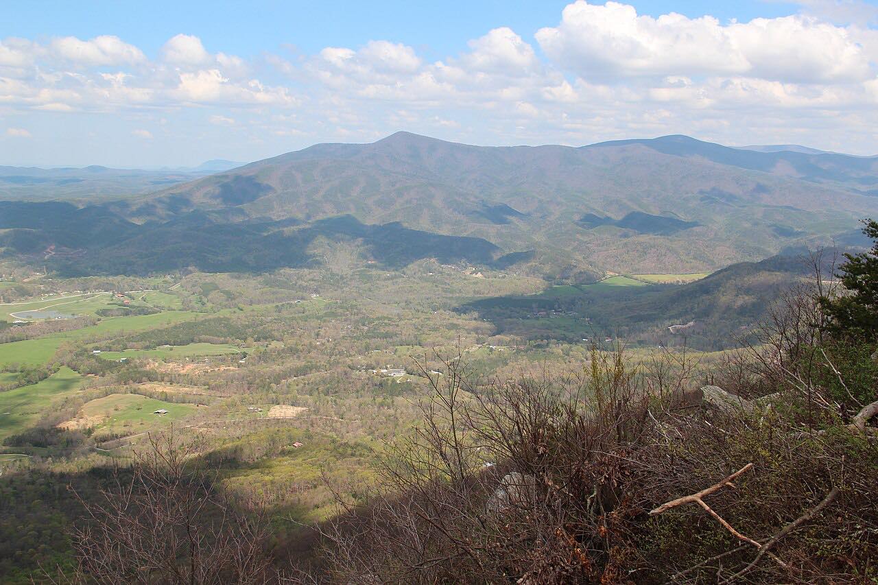
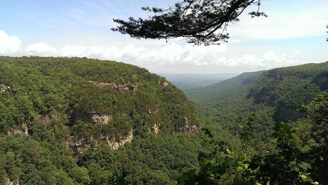
Fort Mountain State Park is on the way, with a stone wall 855 feet long on the mountain's highest point, thought to have been built by early Native peoples as a fortification or for ceremonies, and a stone fire tower built by the Civilian Conservation Corps. Rider Magazine notes roadside pullouts with views of the valleys and the distant Appalachians, and says fall color is especially striking.
Chatsworth is the last reliable place to refuel before services thin out.
Along the way
- Chatsworth (US 411)
- Fort Mountain State Park
- Ellijay (west side)
Good to know
- Fort Mountain State Park charges a parking fee. The park is open 7 a.m. to 10 p.m.
- Chatsworth is the last reliable place to refuel and take a break before services thin out.
- A storm has washed out part of Highway 52 at Hancock Drive in Ellijay before; check 511GA for its status before heading for the Ellijay end.
- Stay focused on the curves; use the pullouts for the views.
Open all year, weather permitting. Roads close for snow, fire, storms and repairs: before you set off, check 511GA: Georgia road conditions.
Questions about this drive
How long does Georgia 52 over Fort Mountain take?
From Chatsworth to the west side of Ellijay is 22.7 miles and takes about 40 minutes.
How twisty is Highway 52 over Fort Mountain?
Twisty, with two twisty stretches around miles 2 to 7 and 9 to 14, starting with the climb out of Chatsworth.
Is there a fee to visit Fort Mountain State Park?
Yes. Georgia State Parks requires a parking fee, and annual passes are available.
What is the stone wall at Fort Mountain?
An 855-foot wall on the mountain's highest point, thought to have been built by early Native peoples as a fortification or for ceremonies.
What you get in the app
Free on iPhone and Android. CarPlay and Android Auto come with Apex.
More drives near here

Distance, time, elevation, curves and intensity are from Carve's route. Checked 2026-10-28.