
Drives New York The Adirondacks and the North Country
Highway 8: Hague to the Sacandaga
NY 8, Graphite Mountain Road · Hague → Highway 30

The drive
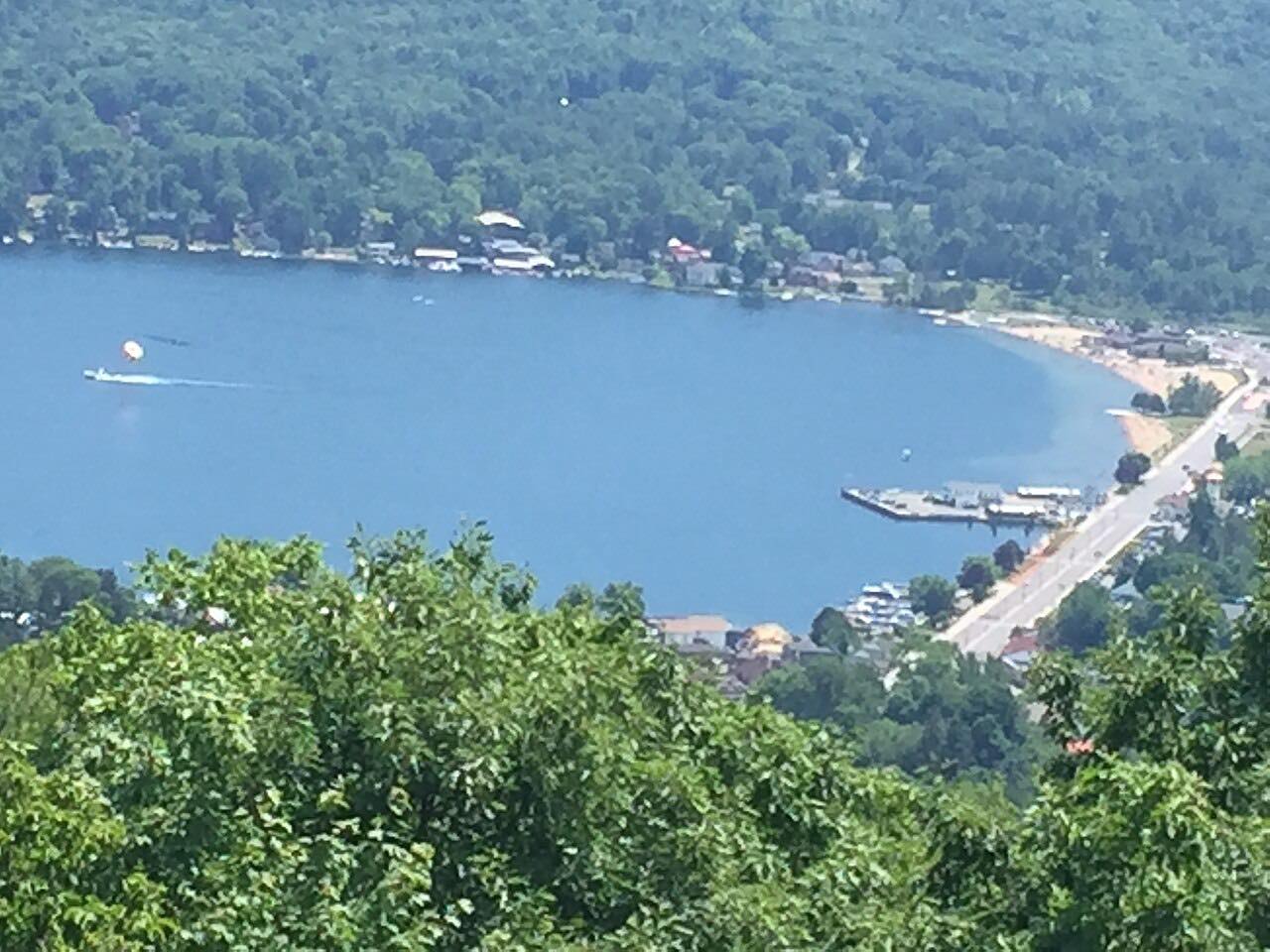
Highway 8 is a long, quiet crossing of the southeastern Adirondacks, from Lake George to the Sacandaga valley. It starts in Hague, on Lake George's west shore, and heads west over the hills to Brant Lake, following its southern shore, then crosses the Northway and joins US 9 for the short run into Chestertown.
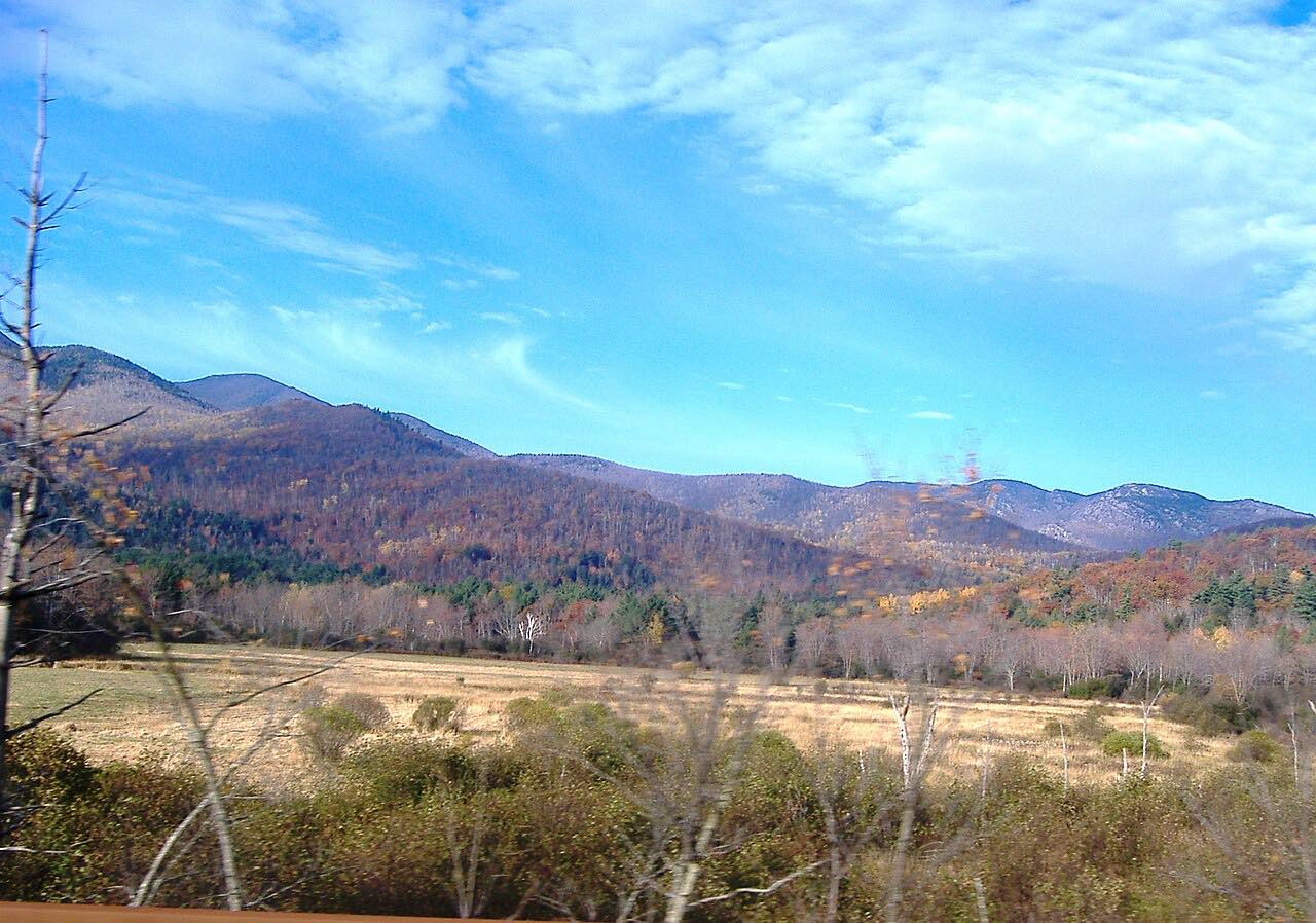
West of Chestertown and Loon Lake it meets Highway 28 at Wevertown, then climbs on through Johnsburg and over the hills past Bakers Mills, where trailheads into the Siamese Ponds Wilderness leave the road. From there it winds down through Hamilton County forest to end at Highway 30 in Wells, on the Sacandaga River.
It's a steady road, with curves and grades most of the way and only small hamlets between Chestertown and Wells. At the end it meets the Highway 30 drive from Northville to Speculator, which shares the same road north of Wells.
Along the way
- Hague
- Brant Lake
- Bakers Mills
- Highway 30 (Wells)
Good to know
- Highway 8 crosses Highway 28 at Wevertown and runs with US 9 between Loon Lake and Chestertown, so watch your turns there.
- There are long wooded stretches with few services west of Chestertown; fill up before you leave Lake George or Chestertown.
- Deer and moose are most active from October through December and at dawn and dusk, New York's DMV and DEC warn.
Open all year, weather permitting. Roads close for snow, fire, storms and repairs: before you set off, check 511NY.
Questions about this drive
How long is the drive on Highway 8 from Hague to Wells?
Highway 8 from Hague on Lake George to Highway 30 in Wells is 52.4 miles and takes about 1 hr 10 min.
Is Highway 8 in the Adirondacks a curvy road?
Highway 8 from Hague to Wells is a sweeping drive: steady curves and grades most of the way, with about 3,500 feet of climbing, but no tight hairpins.
What towns does Highway 8 pass through between Hague and Wells?
From Hague, Highway 8 passes Brant Lake, Chestertown, Wevertown, Johnsburg and Bakers Mills before reaching Highway 30 at Wells.
Where does Highway 8 cross the Northway?
Highway 8 crosses I-87, the Northway, between Brant Lake and Chestertown, just east of where it joins US 9.
What you get in the app
Free on iPhone and Android. CarPlay and Android Auto come with Apex.
More drives near here



Distance, time, elevation, curves and intensity are from Carve's route. Checked 2026-10-28.