Drives Georgia North Georgia and the Upstate
US 76: Hiawassee to Clayton
US 76, GA 2, GA 17 · Hiawassee → Clayton

The drive
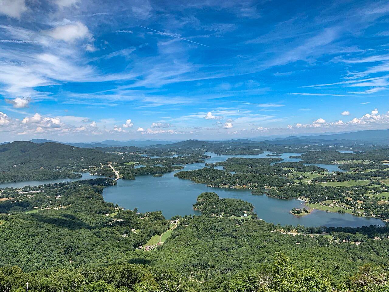
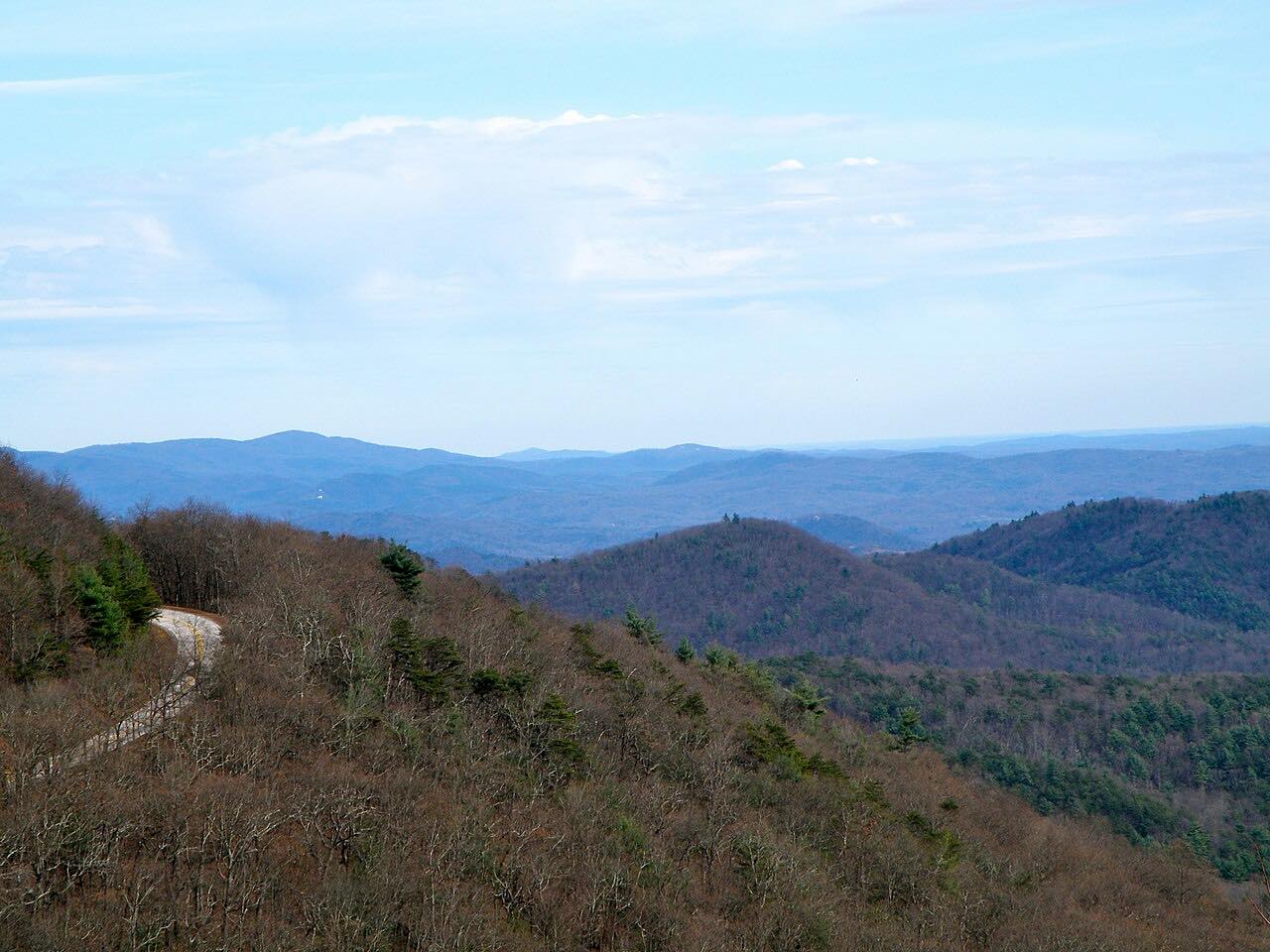
US 76 is the main road between Hiawassee and Clayton, and it is the gentlest of the roads around Clayton. It heads east from Hiawassee, climbs through the Blue Ridge Mountains in the Chattahoochee-Oconee National Forest and crosses Dicks Creek Gap, where the Appalachian Trail crosses the highway.
The road is a two-lane highway with steady curves and climbs rather than tight twists, with some passing zones. It covers 24.7 miles in about 35 minutes. Most of US 76 in Georgia belongs to the Lookout Mountain Scenic Highway, which runs through the national forest.
The Warwoman Road drive starts in Clayton, where this one ends, so the two combine for a day in Rabun County. The Georgia 75 drive from Helen ends on this same highway near Hiawassee.
Along the way
- Hiawassee (US 76)
- Clayton (US 76)
Good to know
- The Appalachian Trail trailhead at Dicks Creek Gap is a small gravel lot, and hikers cross the road there.
- It is a two-lane road; use the passing zones, and be patient on the climbs.
- Check Georgia 511 after heavy rain.
Open all year, weather permitting. Roads close for snow, fire, storms and repairs: before you set off, check Georgia 511.
Questions about this drive
How long is US 76 from Hiawassee to Clayton?
US 76 from Hiawassee to Clayton is 24.7 miles and takes about 35 minutes.
Does the Appalachian Trail cross US 76 in Georgia?
Yes. The Appalachian Trail crosses US 76 at Dicks Creek Gap, between Hiawassee and Clayton, and the trailhead lot there is small and gravel.
Is US 76 between Hiawassee and Clayton twisty?
It has steady curves and climbs rather than tight twists, which makes it the gentler of the roads around Clayton.
What towns does US 76 connect in north Georgia?
This stretch of US 76 connects Hiawassee in Towns County with Clayton in Rabun County through the Chattahoochee-Oconee National Forest.
What you get in the app
Free on iPhone and Android. CarPlay and Android Auto come with Apex.
More drives near here


Distance, time, elevation, curves and intensity are from Carve's route. Checked 2026-10-28.