Drives Tennessee Knoxville, Chattanooga and East Tennessee
Suck Creek Road
TN 27 · Chattanooga → Signal Mountain

The drive
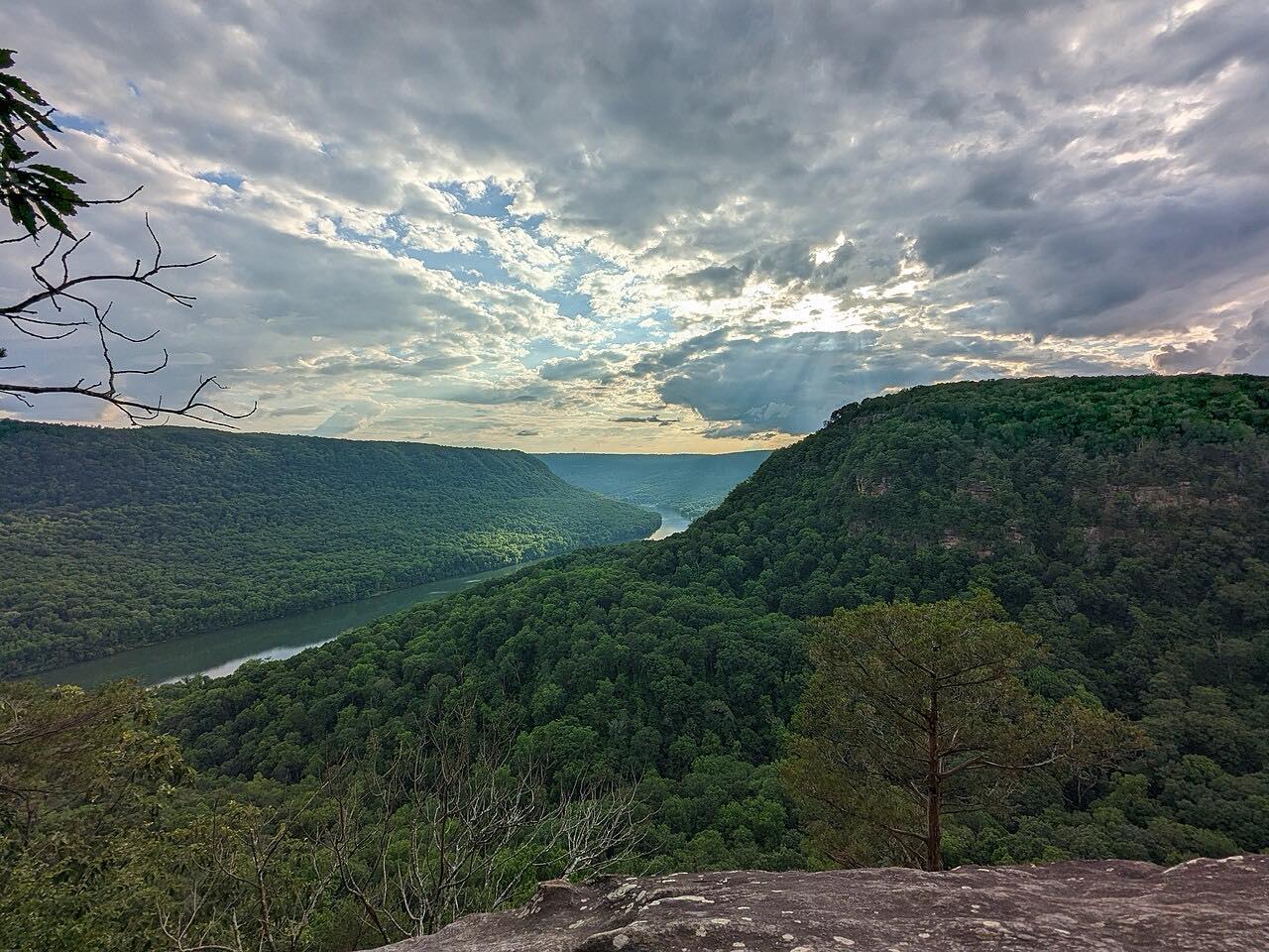
Suck Creek Road is TN 27 between Chattanooga and Signal Mountain. It starts at US 127 on the Chattanooga side and runs six miles, following the edge of the Tennessee River Gorge before turning up the hollow of Suck Creek onto Walden Ridge.
The drive climbs about 1,300 feet to a high point of 1,800 feet and ends on Signal Mountain just before the Choctaw Trail turn. Most of it is gentle, with three tighter stretches in the later miles, so the climb comes at the end.
Along the way
- Chattanooga (US 127)
- Signal Mountain (Choctaw Trail)
Good to know
- Tennessee DOT has closed Suck Creek Road for slide repair and drainage work before, so check road status before a drive.
Open all year, weather permitting. Roads close for snow, fire, storms and repairs: before you set off, check TDOT SmartWay.
Questions about this drive
How long does Suck Creek Road take to drive?
Suck Creek Road from Chattanooga (US 127) to Signal Mountain is 6 miles and takes about 10 minutes.
How twisty is Suck Creek Road?
Suck Creek Road is mostly gentle with three twisty stretches, and it climbs about 1,300 feet to a 1,800-foot high point.
Has Suck Creek Road been closed recently?
Tennessee DOT has closed Suck Creek Road (SR 27) for slide repair and for drainage work, so check TDOT SmartWay before you go.
What you get in the app
Free on iPhone and Android. CarPlay and Android Auto come with Apex.
More drives near here


Distance, time, elevation, curves and intensity are from Carve's route. Checked 2026-10-28.