Drives Arkansas The Ozarks: Arkansas and Missouri
Highway 7: Hot Springs to Ola
AR 7 · Hot Springs → Ola

The drive
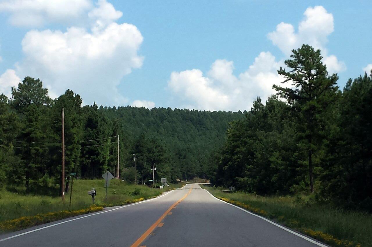
Highway 7 leaves Hot Springs along Central Avenue, past Oaklawn Race Track and Bathhouse Row, and heads north into the Ouachita Mountains. This drive covers 42.6 miles of it, ending at Ola, where Highway 7 begins a shared stretch with Highway 28.
Arkansas named the Arkadelphia to Harrison section of Highway 7 its first Scenic Byway in 1993, and the parts that run through the Ouachita and Ozark National Forests also carry a National Forest Scenic Byway designation. This section is mostly gentle curves, with about 3,400 feet of climbing and a high point near 1,200 feet.
Ola is where Highway 7 begins a shared stretch with Highway 28. North of there the same highway continues to Dardanelle and Dover.
Along the way
- Hot Springs (Highway 7 north)
- Ola (Highway 10)
Good to know
- Hot Springs is at the start of the drive, so it is the place to fill up and eat before the road climbs into the national forest.
- IDrive Arkansas, run by ARDOT, lists current closures and construction.
Open all year, weather permitting. Roads close for snow, fire, storms and repairs: before you set off, check IDrive Arkansas (ARDOT road conditions).
Questions about this drive
How long does Highway 7 from Hot Springs to Ola take?
Highway 7 from Hot Springs to Ola is 42.6 miles and takes about 55 minutes without stops.
Is Highway 7 in Arkansas a scenic byway?
Yes. In 1993 the Arkadelphia to Harrison section became Arkansas's first Scenic Byway, and the parts in the Ouachita and Ozark National Forests are also National Forest Scenic Byways.
How twisty is Highway 7 between Hot Springs and Ola?
It is rated Sweeping: mostly gentle curves, with about 3,400 feet of climbing along the way.
What you get in the app
Free on iPhone and Android. CarPlay and Android Auto come with Apex.
More drives near here


Distance, time, elevation, curves and intensity are from Carve's route. Checked 2026-10-28.