Drives Arkansas The Ozarks: Arkansas and Missouri
Highway 154: Petit Jean Mountain
AR 154, Petit Jean Mountain Road, Municipal Drive · Oppelo → Highway 247

The drive
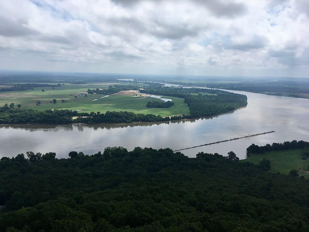
Highway 154 climbs Petit Jean Mountain from the Arkansas River valley, and this drive starts at Oppelo, at Highway 9. The road gains the mountain in a long curving climb, then enters Petit Jean State Park. The highway runs through the park and carries on across the plateau to Highway 247 at Pontoon.
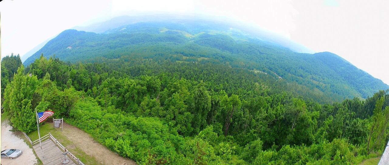
The park's Mather Lodge is a 1930s stone-and-timber building built by the Civilian Conservation Corps, overlooking Cedar Creek Canyon. From behind it, the Cedar Falls Trail drops to a 90-foot waterfall. Named overlooks along the park roads include Stout's Point, where part of the Trail of Tears route can be seen, and Richter Overlook, with views toward Mount Nebo and Mount Magazine.
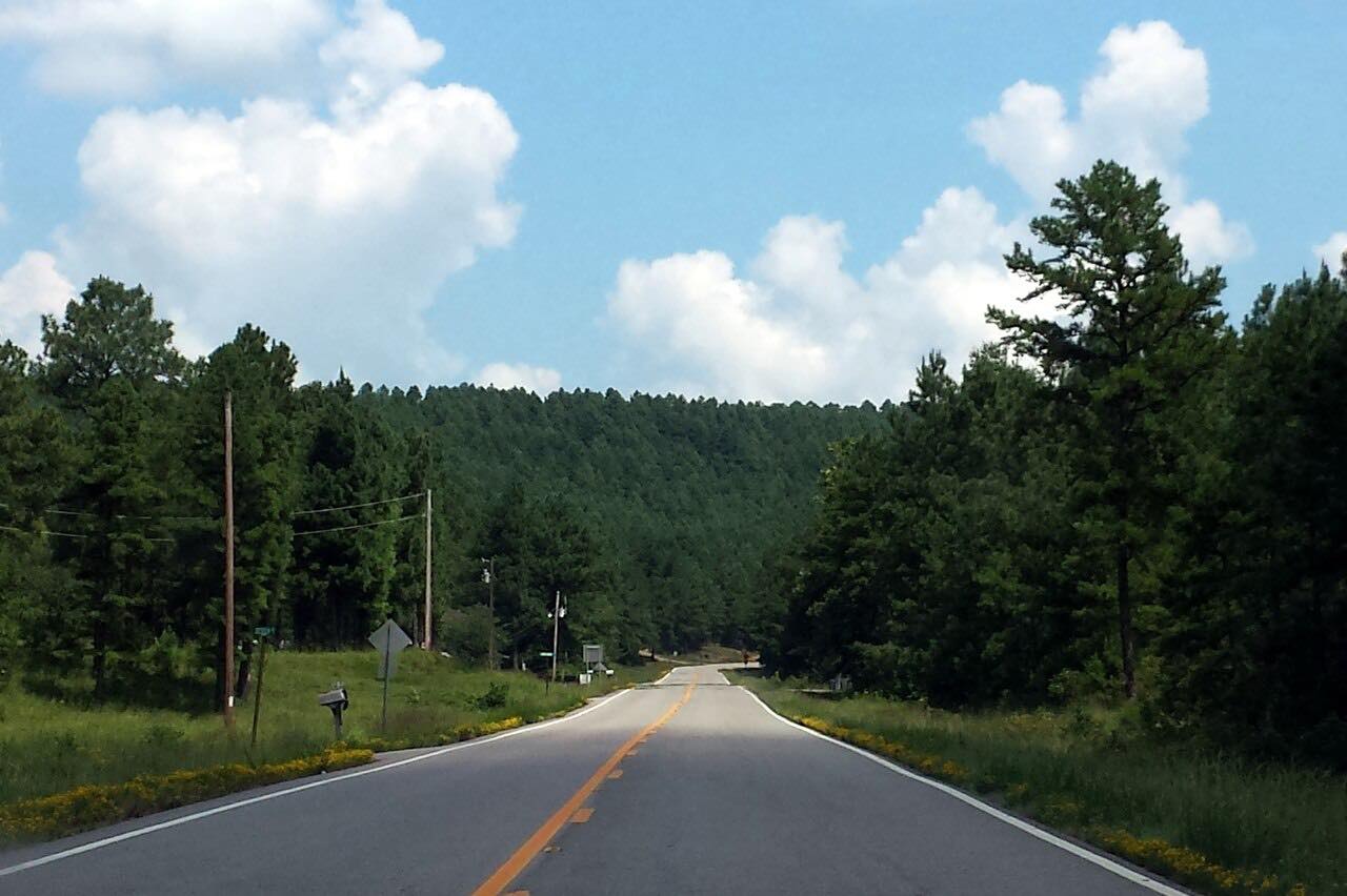
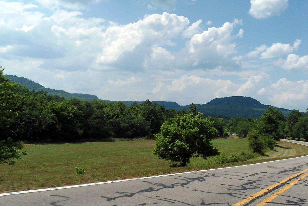
Past the park the road is quiet. It crosses rural and farmed land on the plateau, with sweeping curves and little traffic. The 20 miles take about 35 minutes without stops, and a good deal longer with them.
Along the way
- Oppelo (Highway 9)
- Petit Jean State Park
- Highway 247
Good to know
- Mather Lodge's restaurant is open daily, with shorter hours in winter than from March through November.
- This drive covers only the eastern end of Highway 154, which runs about 41 miles overall from Highway 27 near Danville to Oppelo.
Open all year, weather permitting. Roads close for snow, fire, storms and repairs: before you set off, check IDrive Arkansas (ArDOT).
Questions about this drive
How long does Highway 154 across Petit Jean Mountain take?
Highway 154 from Oppelo to Highway 247 is 20 miles and takes about 35 minutes without stops.
Is Highway 154 on Petit Jean Mountain twisty?
It is sweeping rather than tight. The climb out of the river valley has a few tight bends, and the plateau road past the park is gently curving.
Does Highway 154 go through Petit Jean State Park?
Yes. Highway 154 runs through Petit Jean State Park, past the entrance road to Mather Lodge and Cedar Falls.
What is there to see on Petit Jean Mountain?
Mather Lodge, the 90-foot Cedar Falls and overlooks such as Stout's Point and Richter Overlook are in Petit Jean State Park, which Highway 154 passes through.
What you get in the app
Free on iPhone and Android. CarPlay and Android Auto come with Apex.
More drives near here


Distance, time, elevation, curves and intensity are from Carve's route. Checked 2026-10-28.