Drives Colorado Colorado Springs and Southern Colorado
Highway 67: Divide to Cripple Creek
CO 67 · Divide → Cripple Creek

The drive
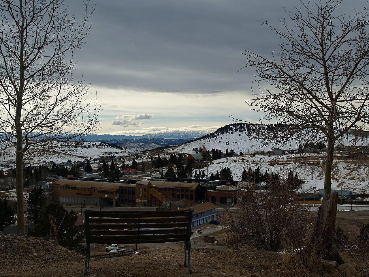
CO 67 runs south from Divide on US 24 into Teller County, a twisting two-lane over the hills. For several miles the highway forms the eastern edge of Mueller State Park, and the road ends on Bennett Avenue in Cripple Creek, the old gold camp.
The drive is 18.6 miles and about 27 minutes. It climbs about 1,900 feet and reaches 10,247 feet. Cripple Creek is a casino town, so weekends are busy.
The gravel Phantom Canyon road, which also reaches Cripple Creek, is a different route.
Along the way
- Divide (US-24)
- Cripple Creek
Good to know
- Cripple Creek is busy on weekends.
- Mueller State Park lies along the highway, south of Divide.
- Check COtrip for conditions in winter.
Open all year, weather permitting. Roads close for snow, fire, storms and repairs: before you set off, check COtrip (CDOT).
Questions about this drive
How long does Highway 67 from Divide to Cripple Creek take?
CO 67 from Divide to Cripple Creek is 18.6 miles and takes about 27 minutes.
Does CO 67 pass Mueller State Park?
Yes. CO 67 forms the eastern border of Mueller State Park for several miles before reaching Divide.
Is Highway 67 to Cripple Creek twisty?
Yes. It is a twisting two-lane over the hills of Teller County.
What you get in the app
Free on iPhone and Android. CarPlay and Android Auto come with Apex.
More drives near here

Distance, time, elevation, curves and intensity are from Carve's route. Checked 2026-10-28.