
Drives New Mexico Southern New Mexico
Highway 244: Cloudcroft to Mescalero
NM 244 · Cloudcroft → US-70 northeast of Mescalero

The drive
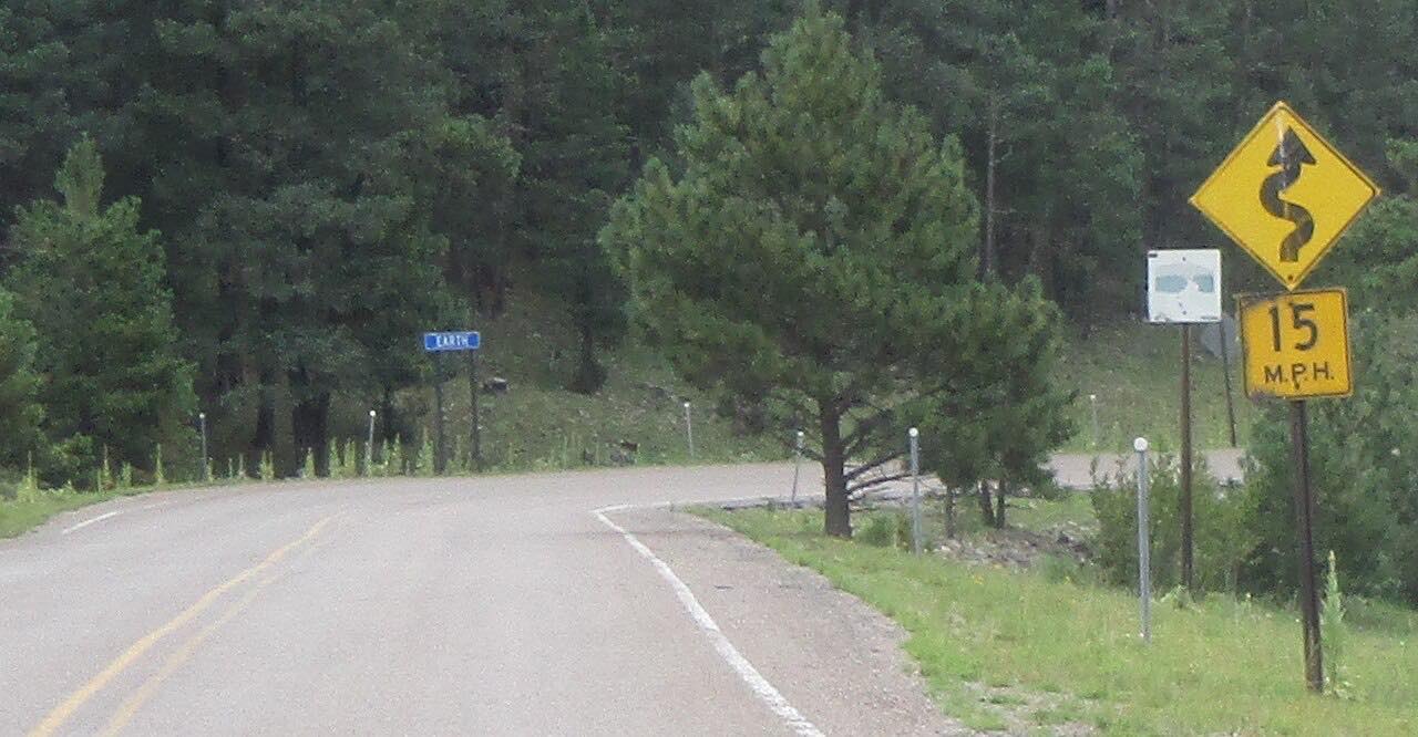
Highway 244 starts at the junction with US 82 in Cloudcroft, a mountain village high in the Sacramento Mountains, and runs north and then east-northeast through Lincoln National Forest. The first stretch passes the road to the ski area and a string of forest roads, among them Observatory Road and Sacramento Mountain Road. It is a high, wooded road that mostly sweeps rather than twists, with one tighter stretch near the start.
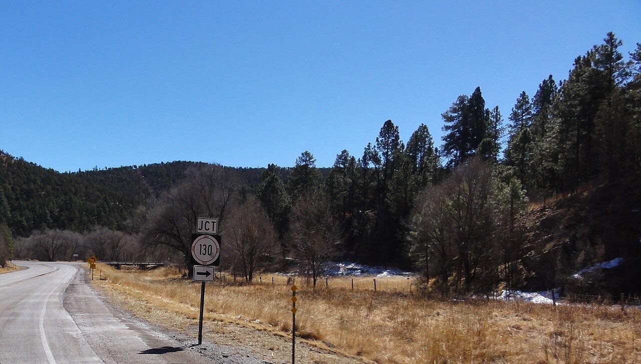
A few miles along, the highway leaves the national forest and crosses Mescalero Apache Reservation land. It follows Silver Springs Creek for a couple of miles, passes just south of Silver Lake, then turns northwest on a winding course down toward the Tularosa basin side. The drive ends at a T intersection with US 70, about 4.7 miles northeast of Mescalero.
From there US 70 leads east to Ruidoso Downs and Roswell, or west to Mescalero and Tularosa. The road is lightly traveled, about 570 vehicles a day on average as of 2015, which makes it a calm way to come down from Cloudcroft.
Along the way
- Cloudcroft (NM-244)
- US-70 northeast of Mescalero
Good to know
- The drive runs downhill from about 9,000 feet at its high point, so winter storms can leave snow and ice on the upper miles; check conditions in the cold months.
- The last miles cross Mescalero Apache Reservation land. Stay on the highway.
- Highway 244 passes the road to the Cloudcroft ski area and several forest roads near the start; the highway itself is the main road throughout.
Open all year, weather permitting. Roads close for snow, fire, storms and repairs: before you set off, check NMDOT NMRoads.
Questions about this drive
How long does Highway 244 from Cloudcroft to Mescalero take?
Highway 244 from Cloudcroft to US 70 is 28.5 miles and takes about 40 minutes without stops.
Is Highway 244 in New Mexico twisty?
Mostly not. Highway 244 is a sweeping mountain road with one twisty stretch, and the winding course comes in the last miles on the reservation.
Does snow close Highway 244 near Cloudcroft?
Highway 244 is a state highway, but the Sacramento Mountains get winter snow and ice, so check NMRoads before driving it in the cold months.
Where does Highway 244 end?
Highway 244 ends at a T intersection with US 70 about 4.7 miles northeast of Mescalero, where US 70 runs east to Ruidoso Downs and west to Tularosa.
What you get in the app
Free on iPhone and Android. CarPlay and Android Auto come with Apex.
More drives near here



Distance, time, elevation, curves and intensity are from Carve's route. Checked 2026-10-28.