Drives New Mexico Southern New Mexico
Sunspot Scenic Byway
US 82, NM 130, NM 6563 · Alamogordo → Sunspot

The drive
The Sunspot Scenic Byway runs along the front rim of the Sacramento Mountains through Lincoln National Forest, with views of the Tularosa Basin and the shifting dunes of White Sands National Monument. This drive starts in Alamogordo and takes US 82 up to Cloudcroft, a town named for clouds that frequently hug its forested hillsides.
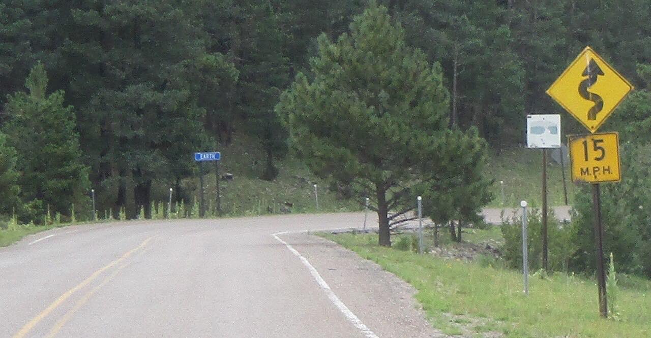
The 15-mile Sunspot Highway, NM 6563, begins two miles south of Cloudcroft and zigzags along the rim. Its number was chosen because it matches a wavelength scientists use to study solar activity. Lookouts overlook a drop of about 5,000 feet; Haynes Canyon Vista lets you pick out the Oscura and San Andres peaks and White Sands.
The byway ends at Sunspot, where two national observatories at 9,200 feet offer tours and exhibits, and the Sunspot Visitor Center and Museum has interactive displays.
Along the way
- Alamogordo
- High Rolls
- Cloudcroft
- Sunspot
Good to know
- Numerous trails start from the lookouts.
- The way back is the same road.
- Check NMRoads before you go in winter.
Open all year, weather permitting. Roads close for snow, fire, storms and repairs: before you set off, check NMRoads (NMDOT road conditions).
Questions about this drive
How long does the Sunspot Scenic Byway take?
The drive from Alamogordo to Sunspot is 31 miles and takes about 1 hr.
What is at the end of the Sunspot Scenic Byway?
The byway ends at Sunspot Solar Observatory, where two national observatories offer tours and exhibits and a visitor center and museum has interactive displays.
Where does Sunspot Scenic Byway start and end?
This drive starts at Alamogordo and ends at Sunspot, 31.0 miles in all.
What you get in the app
Free on iPhone and Android. CarPlay and Android Auto come with Apex.
More drives near here



Distance, time, elevation, curves and intensity are from Carve's route. Checked 2026-10-28.