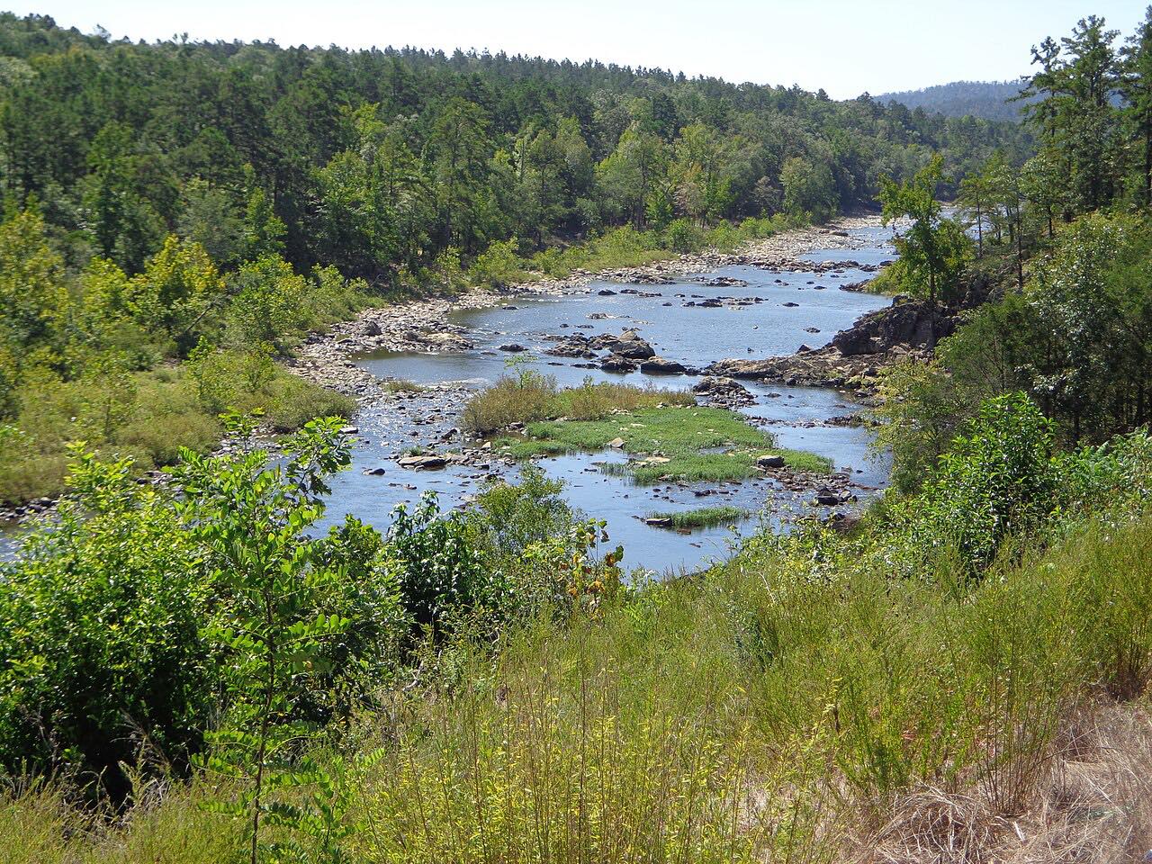

The drive
This is US 259 running north from Broken Bow through the Ouachita Mountains of southeastern Oklahoma. After Broken Bow, US 259 continues north on its own, winding past the west side of Broken Bow Lake. Near the lake it enters the Ouachita National Forest for the first time. The drive is 36.8 miles and takes about 42 minutes, ending at Smithville.
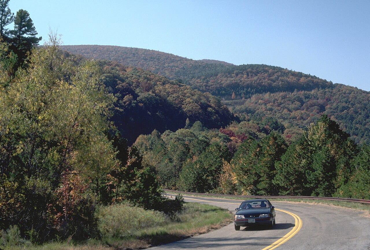
State Highway 259A, a roughly 10-mile loop, serves Broken Bow Lake and Beavers Bend Resort Park and meets US 259 at two points, so it is an easy detour. A motorcycle route guide calls fall the best time to ride this road and reports little traffic for most of the way.
Talimena Scenic Drive (SH 1) joins US 259 farther north, beyond Smithville.
Along the way
- Broken Bow
- Smithville
Good to know
- Cabin and resort traffic builds around Hochatown and Beavers Bend on busy weekends.
- SH 259A is a roughly 10-mile loop to Broken Bow Lake and Beavers Bend.
Open all year, weather permitting. Roads close for snow, fire, storms and repairs: before you set off, check ODOT OKRoads.
Questions about this drive
How long is US 259 from Broken Bow to Smithville?
US 259 from Broken Bow to Smithville is 36.8 miles and takes about 42 minutes.
What is the best time to drive US 259 in Oklahoma?
A motorcycle route guide recommends fall for the colors and light traffic.
Does US 259 go by Beavers Bend State Park?
Yes. SH 259A, a loop that serves Broken Bow Lake and Beavers Bend Resort Park, meets US 259 at two points.
What you get in the app
Free on iPhone and Android. CarPlay and Android Auto come with Apex.
More drives near here


Distance, time, elevation, curves and intensity are from Carve's route. Checked 2026-10-28.