Drives Arkansas The Ozarks: Arkansas and Missouri
Highway 88: Mena to Pencil Bluff
AR 88 · Mena → Pencil Bluff

The drive
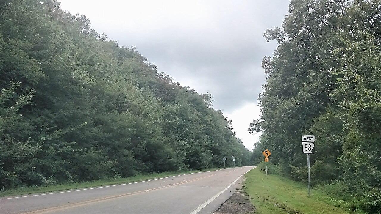
Highway 88 east of Mena is the quiet side of a famous road. West of town, the same highway becomes the Talimena Scenic Drive, climbing Rich Mountain along a national scenic byway. This drive goes the other way, east from Mena across the Ouachita Mountains to Pencil Bluff, where it meets US 270.
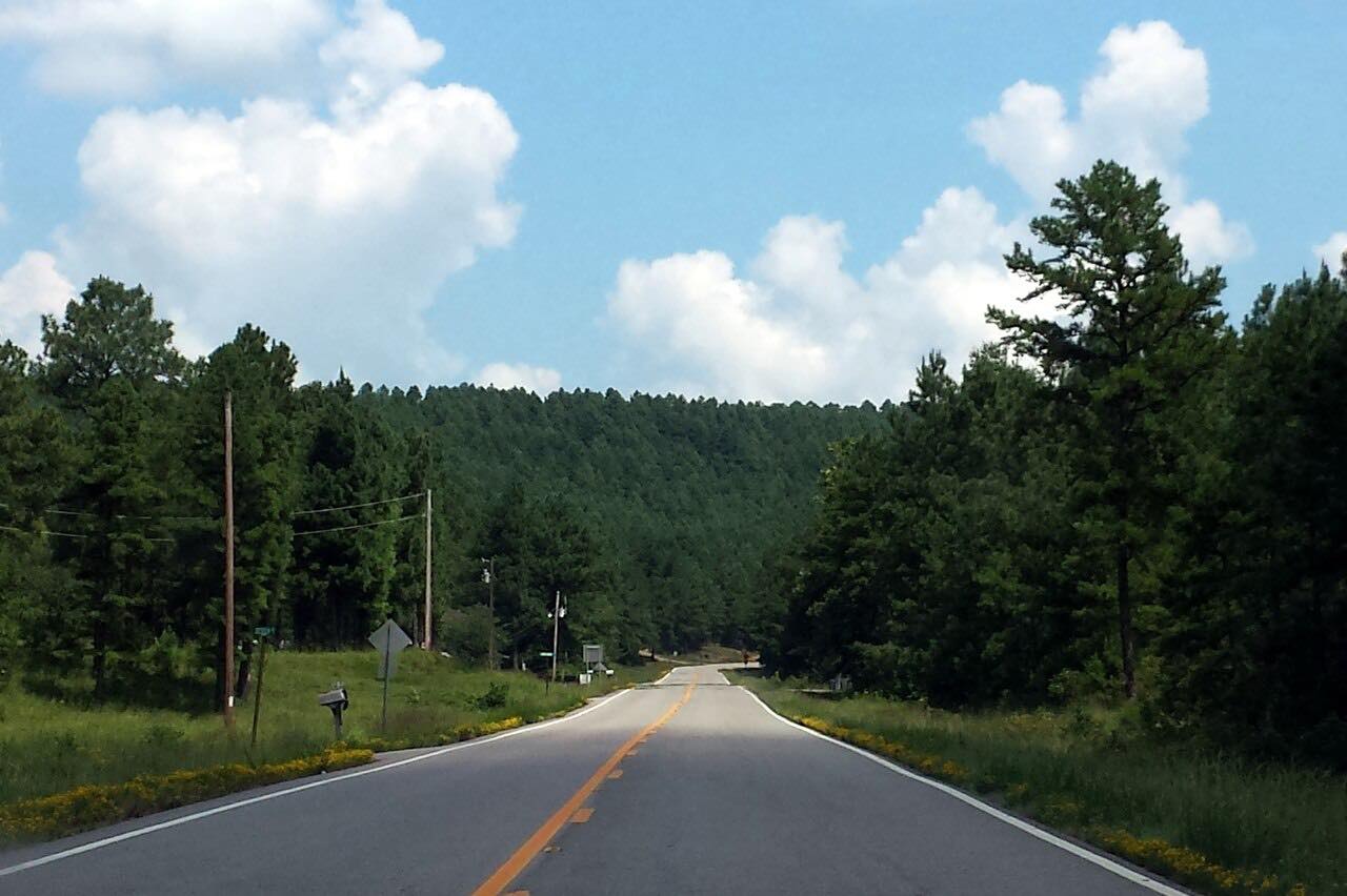
The road runs 24 miles or so alongside the Ouachita River, through the communities of Ink, Cherry Hill, Pine Ridge and Oden. It is forest, ridges and small valleys, with steady bends and very little traffic. The whole drive is 28.4 miles and takes about 35 minutes.
It makes a calm companion to the Talimena Scenic Drive, and a way across the mountains with little else on the road.
Along the way
- Mena
- Pencil Bluff
Good to know
- Traffic is light and services are few between Mena and Pencil Bluff, so fill the tank in Mena.
- The Talimena Scenic Drive starts west of Mena, in the opposite direction from this drive.
- The drive ends at the Highway 88 and US 270 junction near Pencil Bluff.
Open all year, weather permitting. Roads close for snow, fire, storms and repairs: before you set off, check IDrive Arkansas (ArDOT).
Questions about this drive
How long does Highway 88 from Mena to Pencil Bluff take?
Highway 88 from Mena to Pencil Bluff is 28.4 miles and takes about 35 minutes.
Is Highway 88 east of Mena the Talimena Scenic Drive?
No. The Talimena Scenic Drive is the part of Highway 88 west of Mena, climbing Rich Mountain. This drive runs east from Mena toward Pencil Bluff.
Is Highway 88 from Mena to Pencil Bluff twisty?
It has steady, moderate bends through forest and ridges, but it is not a twisty road. Expect a relaxed drive with little traffic.
Where does Highway 88 end near Pencil Bluff?
This drive ends where Highway 88 meets US 270 near Pencil Bluff, in Montgomery County.
What you get in the app
Free on iPhone and Android. CarPlay and Android Auto come with Apex.
More drives near here

Distance, time, elevation, curves and intensity are from Carve's route. Checked 2026-10-28.