
Drives New Mexico Santa Fe, Taos and Northern New Mexico
High Road to Taos
NM 76, NM 75, NM 518 · Chimayó → Ranchos de Taos

The drive
The High Road to Taos begins in Chimayó, a farming valley that is home to El Santuario de Chimayó. The sanctuary was built in the early 1800s to mark a healing clay, and it is still a major Catholic pilgrimage site. From there the road climbs into the Sangre de Cristo Mountains and the old Spanish villages.
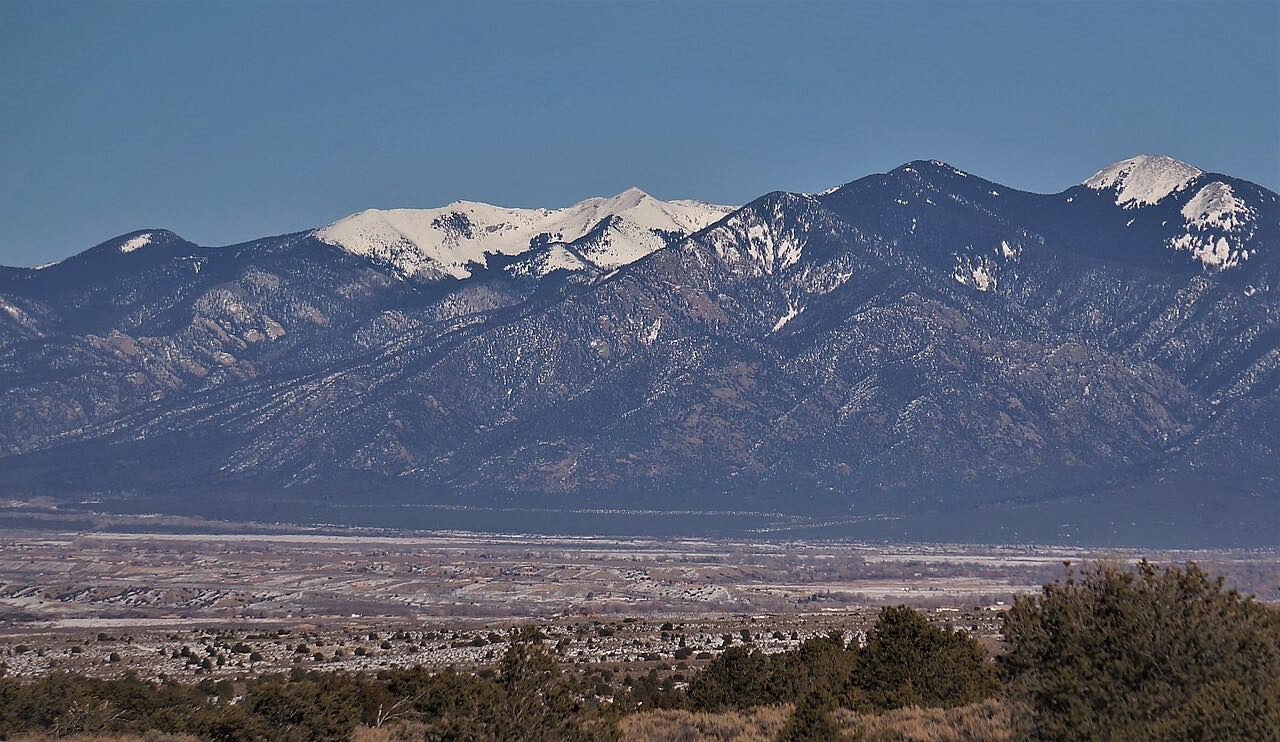
Truchas is a remote Spanish land grant village with views of the Española valley and the snow-capped Truchas peaks, and Truchas Overlook is a listed viewpoint. The drive also passes Las Trampas and Peñasco. At Picuris Pueblo, the roughly 200-year-old adobe church of San Lorenzo de Picuris was restored by hand by the local community.
The drive ends at Ranchos de Taos, a village built around a plaza framed by adobe buildings. The church of San Francisco de Asís has an earthen exterior and an intricately carved altar inside.
Along the way
- Chimayó
- Truchas
- Las Trampas church
- Peñasco
- Ranchos de Taos (NM-68)
Good to know
- The full High Road byway is 105 miles from Santa Fe to Ranchos de Taos; this drive starts at Chimayó, partway along it.
- Afternoon thunderstorms are common in warmer months, and temperatures drop as the road climbs.
- Check NMRoads before you go in winter or after storms.
Open all year, weather permitting. Roads close for snow, fire, storms and repairs: before you set off, check NMRoads (NMDOT road conditions).
Questions about this drive
How long does the High Road to Taos take?
The High Road from Chimayó to Ranchos de Taos is 43.3 miles and takes about 1 hr 5 min without stops.
Where does the High Road to Taos start and end?
This drive starts in Chimayó and ends at Ranchos de Taos on NM 68, passing Truchas, Las Trampas and Peñasco. The full byway runs 105 miles from Santa Fe.
What is there to see on the High Road to Taos?
Highlights are El Santuario de Chimayó, the village of Truchas with its views of the Truchas peaks, the San Lorenzo de Picuris church at Picuris Pueblo, and the San Francisco de Asís church in Ranchos de Taos.
What you get in the app
Free on iPhone and Android. CarPlay and Android Auto come with Apex.
More drives near here


Distance, time, elevation, curves and intensity are from Carve's route. Checked 2026-10-28.