
Drives Florida Jacksonville, Gainesville and North Florida
A1A: Amelia Island to Fort George
A1A · Fernandina Beach → Fort George Island

The drive
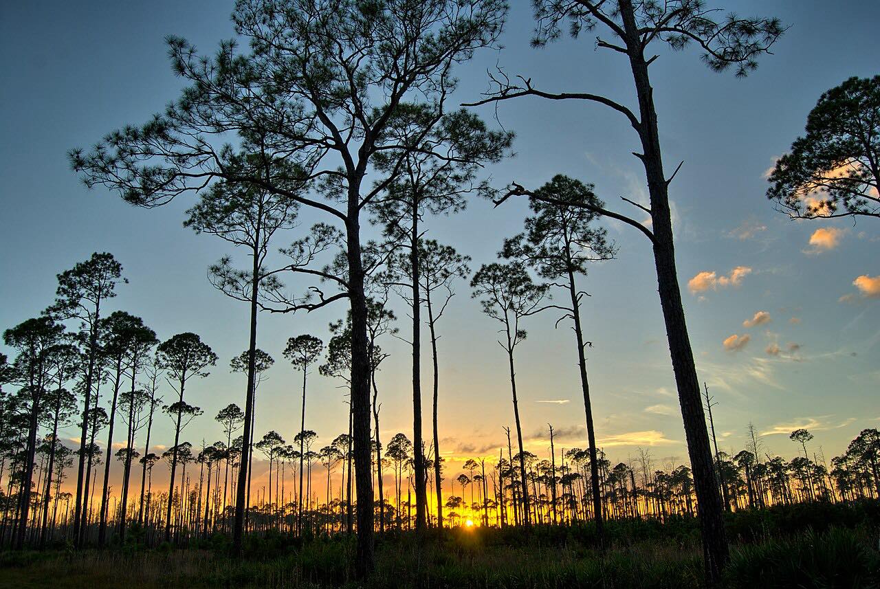
This is A1A at its quietest in the north: a flat run from Fernandina Beach down Amelia Island, over the Nassau Sound bridge, and onto Big Talbot and Little Talbot islands. Dunes, salt marsh and maritime forest line the road, much of it within the Timucuan Ecological and Historic Preserve.
South of the Talbot islands the road becomes Heckscher Drive and heads west along the marsh to Fort George Island. The drive ends at the St. Johns River, just short of the Mayport ferry approach; the ferry isn't part of it.
The Timucuan Preserve is a national park site that includes Kingsley Plantation and Fort Caroline.
Along the way
- Fernandina Beach (Fletcher Avenue)
- Big Talbot Island
- Little Talbot Island
- Fort George Island (Mayport ferry)
Good to know
- The Nassau Sound Bridge has had occasional single-lane closures for maintenance.
- The ferry at the end of the road is not part of the drive.
Open all year, weather permitting. Roads close for snow, fire, storms and repairs: before you set off, check Florida 511.
Questions about this drive
How long does the A1A drive from Amelia Island to Fort George take?
A1A from Fernandina Beach to Fort George Island is 20.8 miles and takes about 35 min.
Is there construction on Heckscher Drive?
It can have it. FDOT has done resurfacing and added a sidewalk and bike trail on part of Heckscher Drive, with most work on weekday daytimes. Check FDOT before you go.
Is A1A on Amelia Island twisty?
No. This A1A drive is flat and Leisurely, with mostly gentle curves through dunes, marsh and forest.
What you get in the app
Free on iPhone and Android. CarPlay and Android Auto come with Apex.
More drives near here


Distance, time, elevation, curves and intensity are from Carve's route. Checked 2026-10-28.