
The drive
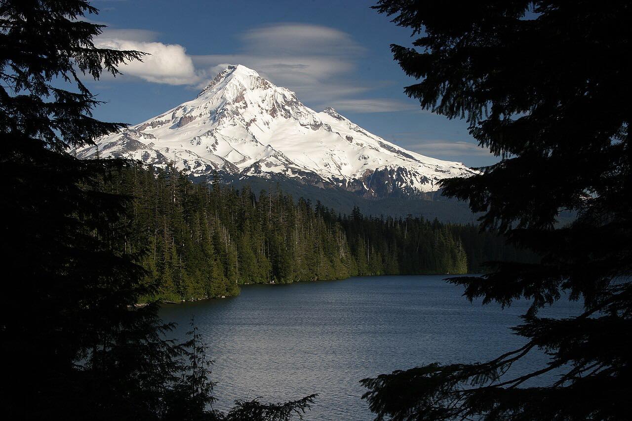
This drive heads up the west side of the Hood River valley on the Dee Highway to the old mill town of Dee, then turns onto Lost Lake Road and climbs through forest to Lost Lake. It's 17 miles, about 35 minutes, with 2,900 feet of climb and a twisty character.
At the lake Mount Hood rises over the water. The road dead-ends at Lost Lake Resort and Campground, so you return the way you came. The drive ends on the road just short of the resort's entrance station.
To get to the Dee Highway from Hood River, take Tucker Road to OR 281.
Along the way
- Dee Highway
- Dee
- Lost Lake
Good to know
- There's a day-use fee at the entrance station past the end of the drive; Recreation.gov lists it at $15 per vehicle.
- Lost Lake Road is not plowed to the lake, so expect snow from about December to March.
- The road is a dead end, so you'll drive it both ways.
Not plowed to the lake; snowbound from about December to March. Roads close for snow, fire, storms and repairs: before you set off, check ODOT TripCheck: road conditions.
Questions about this drive
How long does Lost Lake Road take to drive?
The Dee Highway and Lost Lake Road to Lost Lake is 17 miles and takes about 35 minutes.
Is there a fee to visit Lost Lake?
Yes. Recreation.gov lists a day-use fee of $15 per vehicle, collected at the resort's entrance station.
Is Lost Lake Road open in winter?
Not reliably. The road isn't plowed to the lake and is snowbound from about December to March.
What you get in the app
Free on iPhone and Android. CarPlay and Android Auto come with Apex.
More drives near here


Distance, time, elevation, curves and intensity are from Carve's route. Checked 2026-10-28.