
Drives Oregon The Oregon Cascades
Highway 35: Hood River to Mount Hood
OR 35, Mount Hood Highway · Hood River → US-26 junction

The drive
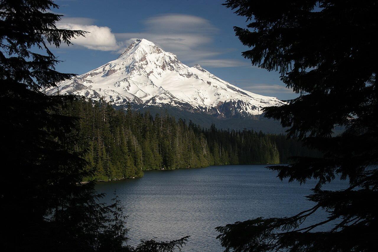
OR 35 starts at I-84 in Hood River and heads south up the Hood River Valley through pear and apple orchards, then into the forest on Mount Hood's east side, over Bennett Pass and across the White River to US 26. It's 36.2 miles in about 45 minutes, and the mountain fills much of the view on the climb.
It's two lanes and rated Leisurely, with easy curves, a calmer alternative to the busy US 26 approach from Sandy.
Along the way
- Hood River (I-84)
- Mount Hood (Parkdale turnoff)
- US-26 junction
Good to know
- The highway is plowed in winter but snow is likely at Bennett Pass from November; carry chains.
- Wildfire has burned near the highway before, and forest roads in fire areas may be closed, so check before you go.
Open all year, weather permitting. Roads close for snow, fire, storms and repairs: before you set off, check ODOT TripCheck: road conditions.
Questions about this drive
How long does Highway 35 from Hood River to Mount Hood take?
OR 35 from Hood River to the US 26 junction is 36.2 miles and takes about 45 minutes.
Is Highway 35 open in winter?
Yes, it is plowed, but snow is likely near Bennett Pass from November and chains may be required.
Was Highway 35 affected by the Grasshopper Fire?
The fire burned east of the highway, which reopened in mid-August. Forest roads in the fire area may be closed, so check before you go.
What you get in the app
Free on iPhone and Android. CarPlay and Android Auto come with Apex.
More drives near here

Distance, time, elevation, curves and intensity are from Carve's route. Checked 2026-10-28.