
Drives Washington Mount Rainier and the South Cascades
Lewis River Road
NF 90 · Woodland → Eagle Cliff

The drive
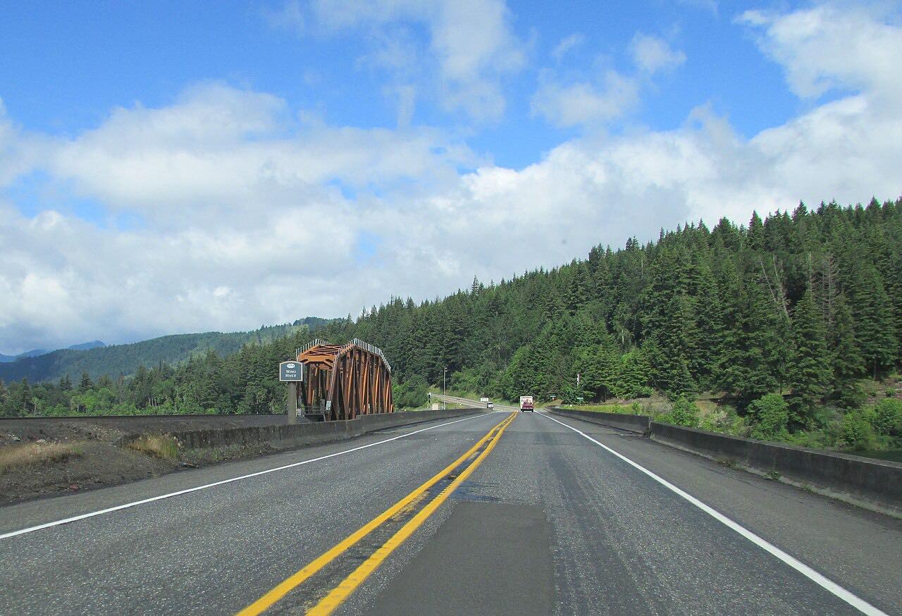
Highway 503, the Lewis River Road, leaves I-5 at Woodland and follows the Lewis River east. The North Fork is dammed into three reservoirs, Lake Merwin, Yale Lake and Swift Reservoir, and the road runs along their shores through forest toward Mount St. Helens.
Cougar is the main community on the way. Past it the road continues along Swift Reservoir to Eagle Cliff, where it becomes Forest Road 90.
The drive is 47.1 miles and takes about 1 hour 10 minutes. Traffic thins out beyond Cougar.
Along the way
- Woodland (I-5 junction)
- Cougar
- Eagle Cliff
Good to know
- Forest Road 90, beyond this drive, is plowed in winter only as far as Pine Creek.
- Culvert and road work can slow traffic on Forest Road 90 near the Forest Road 88 junction, so slow down in work zones.
Open all year, weather permitting. Roads close for snow, fire, storms and repairs: before you set off, check Gifford Pinchot National Forest: Forest Road 90.
Questions about this drive
How long does the Lewis River Road take?
Woodland to Eagle Cliff on the Lewis River Road is 47.1 miles and takes about 1 hour 10 minutes.
What does the Lewis River Road pass?
Lake Merwin, Yale Lake and Swift Reservoir, then Cougar, on the way toward Mount St. Helens.
Is the Lewis River Road open in winter?
Highway 503 is a year-round road, but beyond Eagle Cliff, Forest Road 90 is plowed in winter only as far as Pine Creek.
What you get in the app
Free on iPhone and Android. CarPlay and Android Auto come with Apex.
More drives near here



Distance, time, elevation, curves and intensity are from Carve's route. Checked 2026-10-28.