
The drive
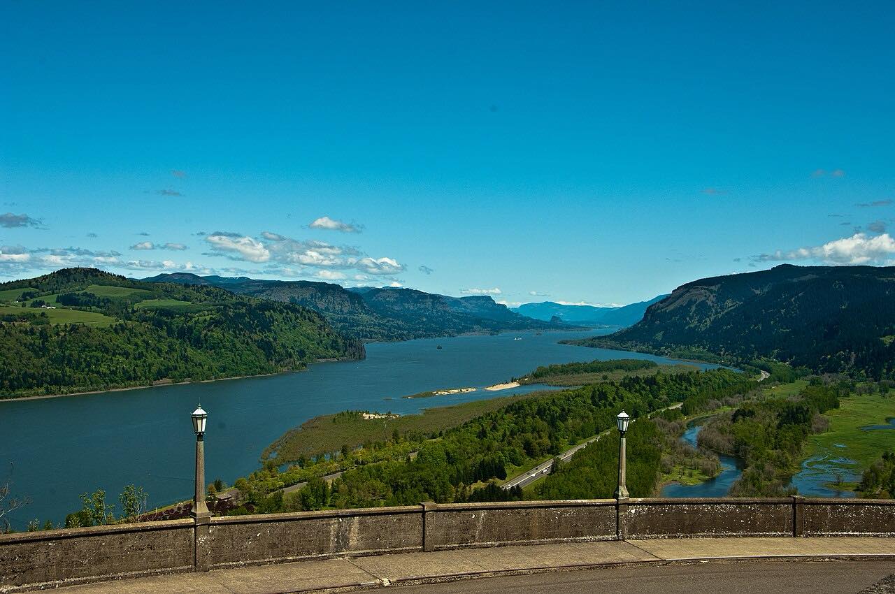
The Historic Columbia River Highway is the old road through the Gorge, first dedicated in 1916 and built with hand-cut stone and masonry. This drive starts at Troutdale by the Sandy River and heads east, climbing through Springdale and Corbett to Vista House at Crown Point, finished in 1918.
From Crown Point the road drops past Latourell Falls and Multnomah Falls and on to Horsetail Falls, ending at Ainsworth at I-84 exit 35. It's 21.5 miles, but narrow, with stone guard walls and tight curves, so it takes about 50 minutes even with no stops.
Markers at Springdale and Corbett keep the route on the old highway instead of the Woodard Road shortcut.
Along the way
- Troutdale (Sandy River)
- Springdale
- Corbett
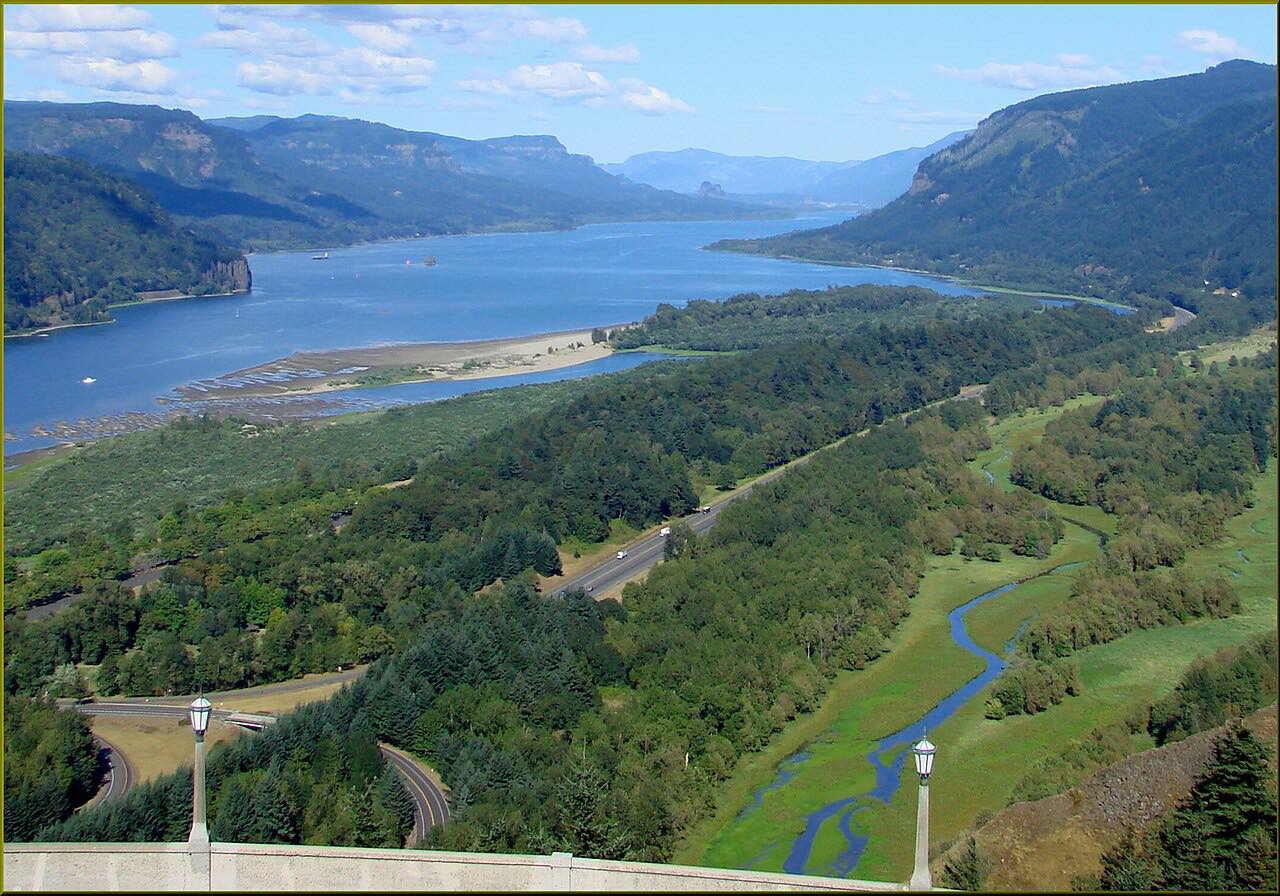
- Vista House at Crown Point
- Latourell Falls
- Multnomah Falls
- Horsetail Falls
- Ainsworth (I-84 exit 35)
Good to know
- Parking at the waterfalls and viewpoints is very limited, especially on weekends and holidays; don't stop in no-parking areas.
- The timed-use permit has covered only the I-84 exit 31 lot at Multnomah Falls, not the Historic Highway itself. Check Recreation.gov for this year's rules.
- The Multnomah Falls lot off the Historic Highway is small and fills up; when it is full, vehicles aren't allowed to stop or wait.
Open all year, weather permitting. Roads close for snow, fire, storms and repairs: before you set off, check ODOT TripCheck: road conditions.
Questions about this drive
How long does the Historic Columbia River Highway take to drive?
Troutdale to Ainsworth on the Historic Columbia River Highway is 21.5 miles and takes about 50 minutes without stops; plan more for the waterfalls.
Do you need a permit to drive the Historic Columbia River Highway?
Not for the road itself. The timed-use permit has applied only to the I-84 exit 31 parking area at Multnomah Falls, so check Recreation.gov for this year's rules.
Is the Historic Columbia River Highway twisty?
Yes. It is narrow with stone guard walls and tight curves, especially around Crown Point and the falls.
What you get in the app
Free on iPhone and Android. CarPlay and Android Auto come with Apex.
More drives near here


Distance, time, elevation, curves and intensity are from Carve's route. Checked 2026-10-28.