Drives Arizona Tucson and Southern Arizona
Kitt Peak Road: AZ-386
Quinlan Mountains, Arizona · AZ-86 junction → Kitt Peak National Observatory

The drive
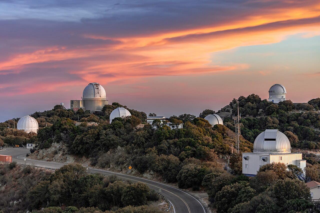
AZ 386 leaves AZ 86 on the Tohono O'odham Nation and climbs about 12 miles of steady bends to Kitt Peak National Observatory. The grade is well graded but constant, and the telescope domes show ahead as you rise out of the Sonoran Desert.
The road ends at the observatory, so uphill is the only way to drive it. It's about 55 miles from Tucson via AZ 86.
Along the way
- AZ-86 junction
- Kitt Peak National Observatory
Good to know
- There are no services on the mountain, so fuel up before AZ 86.
- Ice can form on the road at any time of year, including summer.
- The road has an 8% grade, which is hard on brakes going down.
- Radio transmissions are prohibited on the observatory grounds.
Open all year, weather permitting. Roads close for snow, fire, storms and repairs: before you set off, check Kitt Peak National Observatory: plan your visit.
Questions about this drive
How long does Kitt Peak Road take?
AZ 386 from AZ 86 to Kitt Peak National Observatory is 11.8 miles and takes about 20 minutes.
Is Kitt Peak Road steep?
It climbs about 3,800 feet in 12 miles with an 8% grade, in steady bends.
Is there gas on Kitt Peak?
No. There are no services on the mountain.
What you get in the app
Free on iPhone and Android. CarPlay and Android Auto come with Apex.
More drives near here


Distance, time, elevation, curves and intensity are from Carve's route. Checked 2026-10-28.