Drives British Columbia Vancouver, the Sea-to-Sky and the BC Coast
Pacific Marine Road
Vancouver Island, British Columbia · Port Renfrew → Lake Cowichan

The drive
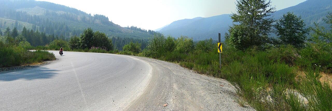
Pacific Marine Road runs from Port Renfrew over forested hills to Lake Cowichan. It is winding and sometimes narrow, with tight corners and some one-lane bridges, the first a long one over the San Juan River. It finishes on South Shore Road into Lake Cowichan, on the eastern shore of Cowichan Lake.
The 34.6 miles take about an hour. It is the quietest part of the Pacific Marine Circle Route, which continues from Highway 14, and logging trucks use it.
Along the way
- Port Renfrew
- Lake Cowichan
Good to know
- There are no services between Port Renfrew and South Shore Road, and phone signal is limited.
- Give logging trucks plenty of space.
Open all year, weather permitting. Roads close for snow, fire, storms and repairs: before you set off, check DriveBC.
Questions about this drive
How long does Pacific Marine Road take to drive?
Pacific Marine Road from Port Renfrew to Lake Cowichan is 34.6 miles and takes about an hour.
Are there services on Pacific Marine Road?
No. There are none between Port Renfrew and South Shore Road, so fuel up first.
Is there construction on Pacific Marine Road?
It can have work zones. Bridge work at Salmonberry Bridge has meant single-lane alternating traffic with delays of up to 10 minutes, so check DriveBC before you go.
What you get in the app
Free on iPhone and Android. CarPlay and Android Auto come with Apex.
More drives near here


Distance, time, elevation, curves and intensity are from Carve's route. Checked 2026-10-28.