
Drives Colorado Grand Junction and the Western Slope
Black Canyon South Rim Road
CO 347 · US-50 → High Point

The drive
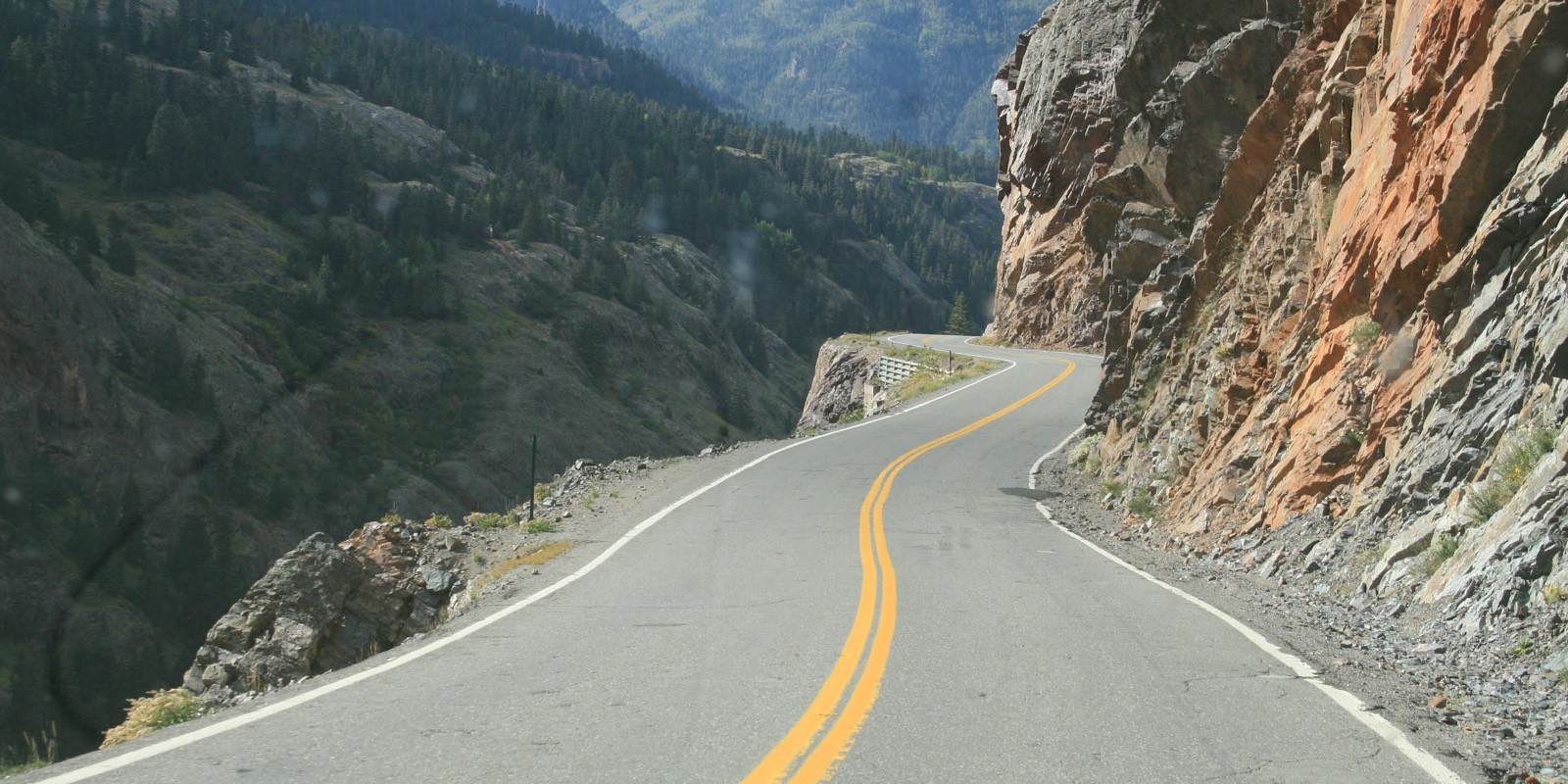
The South Rim Road climbs from US 50 on Colorado 347 into Black Canyon of the Gunnison National Park, then runs along the rim to High Point. The park's directions place the South Rim seven miles up Highway 347 from US 50. Along the rim there are a dozen overlooks into a canyon up to 2,700 feet deep.
The first stop of note is the South Rim Visitor Center. Beyond it the road passes Painted Wall, the canyon's tallest cliff, and ends at High Point at about 8,400 feet. The road is paved and twisty in places on the climb.
This is a drive to take slowly, with time at the overlooks. It's short, 11.8 miles and about 25 minutes without stops.
Along the way
- US-50
- South Rim Visitor Center
- Painted Wall
- High Point
Good to know
- There is a park entrance fee; passes can be bought ahead and the entrance station is cashless.
- Past the visitor center the road is closed by snow from about mid-November to mid-April; the park says the South Rim is the only part open year-round.
- From May to October, and on holiday weekends, expect lines at the entrance station and full parking lots.
- Wildfire has burned areas near some rim trails; check the park's alerts for trail closures.
Past the visitor center, closed by snow from about mid-November to mid-April. Roads close for snow, fire, storms and repairs: before you set off, check NPS: Black Canyon road conditions.
Questions about this drive
How long does the Black Canyon South Rim Road take?
From US 50 to High Point on the South Rim Road is 11.8 miles and takes about 25 min without stops.
Is the South Rim Road at Black Canyon open in winter?
The South Rim Visitor Center area is open year-round, but the road beyond it closes with snow from about mid-November to mid-April.
Is there a fee to drive the South Rim Road?
Yes. The road is inside Black Canyon of the Gunnison National Park, which charges an entrance fee for vehicles; no reservation is needed.
How deep is Black Canyon of the Gunnison?
The canyon is up to 2,700 feet deep, and the South Rim Road has about a dozen overlooks into it.
What you get in the app
Free on iPhone and Android. CarPlay and Android Auto come with Apex.
More drives near here




Distance, time, elevation, curves and intensity are from Carve's route. Checked 2026-10-28.