
Drives Colorado Durango, Telluride and the San Juans
Highway 92: Blue Mesa to Hotchkiss
CO 92 · Blue Mesa Dam → Hotchkiss

The drive
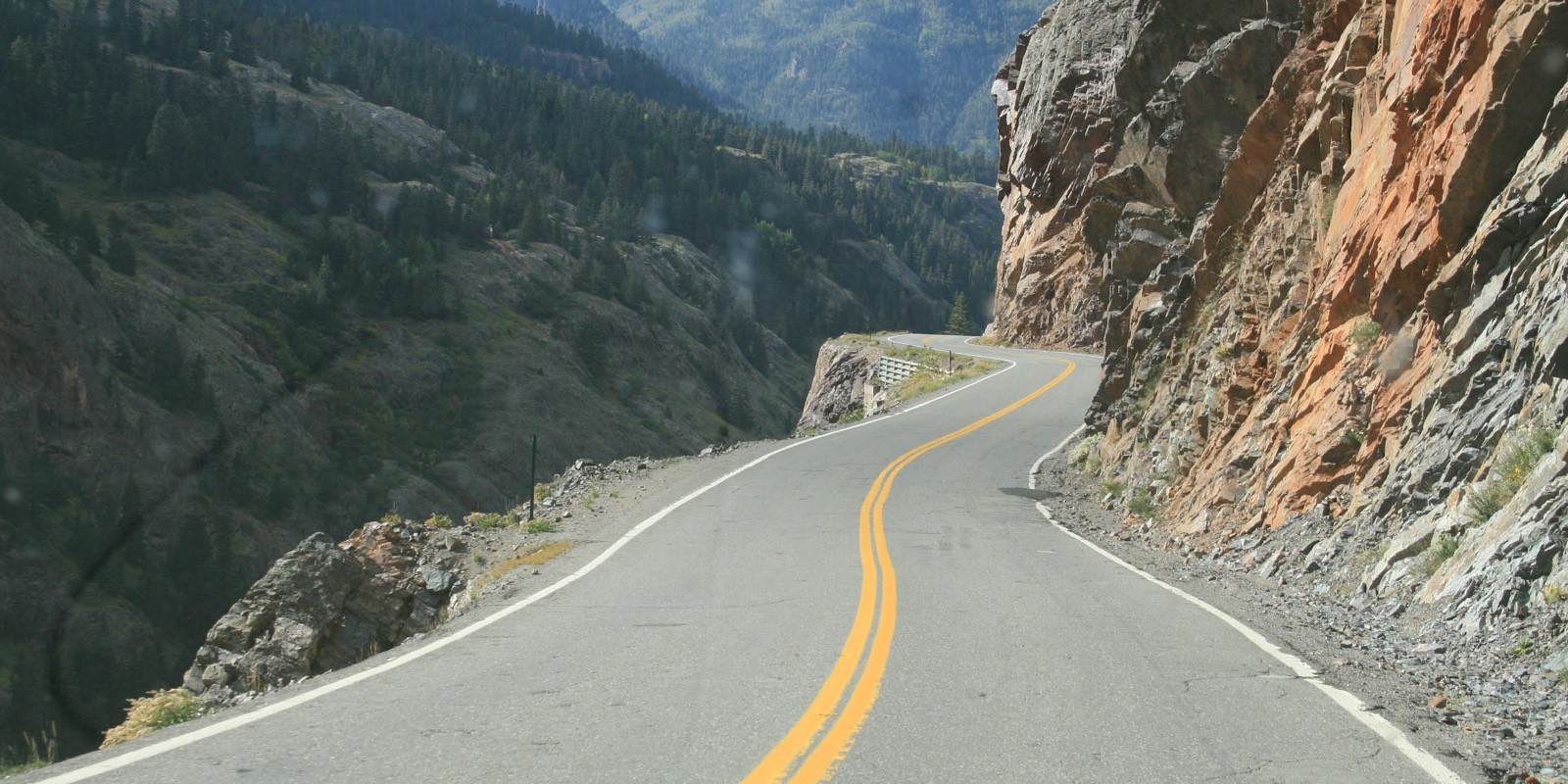
Highway 92 runs from US 50 across Blue Mesa Dam, then along the north rim of the Black Canyon of the Gunnison. This drive starts at the dam and goes west, so the tight canyon-rim section comes first, in the first five miles, with overlooks above the canyon.
The Park Service lists Blue Mesa Dam Overlook, Pioneer Point and Hermits Rest as stops along the road, and trailheads at Pioneer Point and Crystal Creek. After the canyon the road climbs toward the West Elk Mountains, and then crosses mesa ranchland past Crawford, with Crawford State Park nearby, to end at Hotchkiss, where it meets CO 133.
Highway 92 is part of the West Elk Loop Scenic Byway.
Along the way
- Blue Mesa Dam (US-50)
- Crawford
- Hotchkiss
Good to know
- Wildlife is often on the road, especially at dawn and dusk; follow posted speeds.
- The road is open year-round, but ice and snow can cover it from late fall through early spring, especially higher up.
Open all year, weather permitting. Roads close for snow, fire, storms and repairs: before you set off, check CDOT COtrip.
Questions about this drive
How long does Highway 92 from Blue Mesa to Hotchkiss take?
Blue Mesa Dam to Hotchkiss on Highway 92 is 52 miles and takes about 1 hr 20 min.
Is Highway 92 open in winter?
Yes. Highway 92 is open year-round, though ice and snow can cover it from late fall through early spring.
What can you see on Highway 92?
Highway 92 crosses Blue Mesa Dam and runs along the north rim of the Black Canyon, with overlooks at Blue Mesa Dam, Pioneer Point and Hermits Rest.
What you get in the app
Free on iPhone and Android. CarPlay and Android Auto come with Apex.
More drives near here



Distance, time, elevation, curves and intensity are from Carve's route. Checked 2026-10-28.