
Drives Montana Glacier, the Flathead and Northwest Montana
Lake Koocanusa: Highway 37
MT 37 · Libby → Eureka

The drive
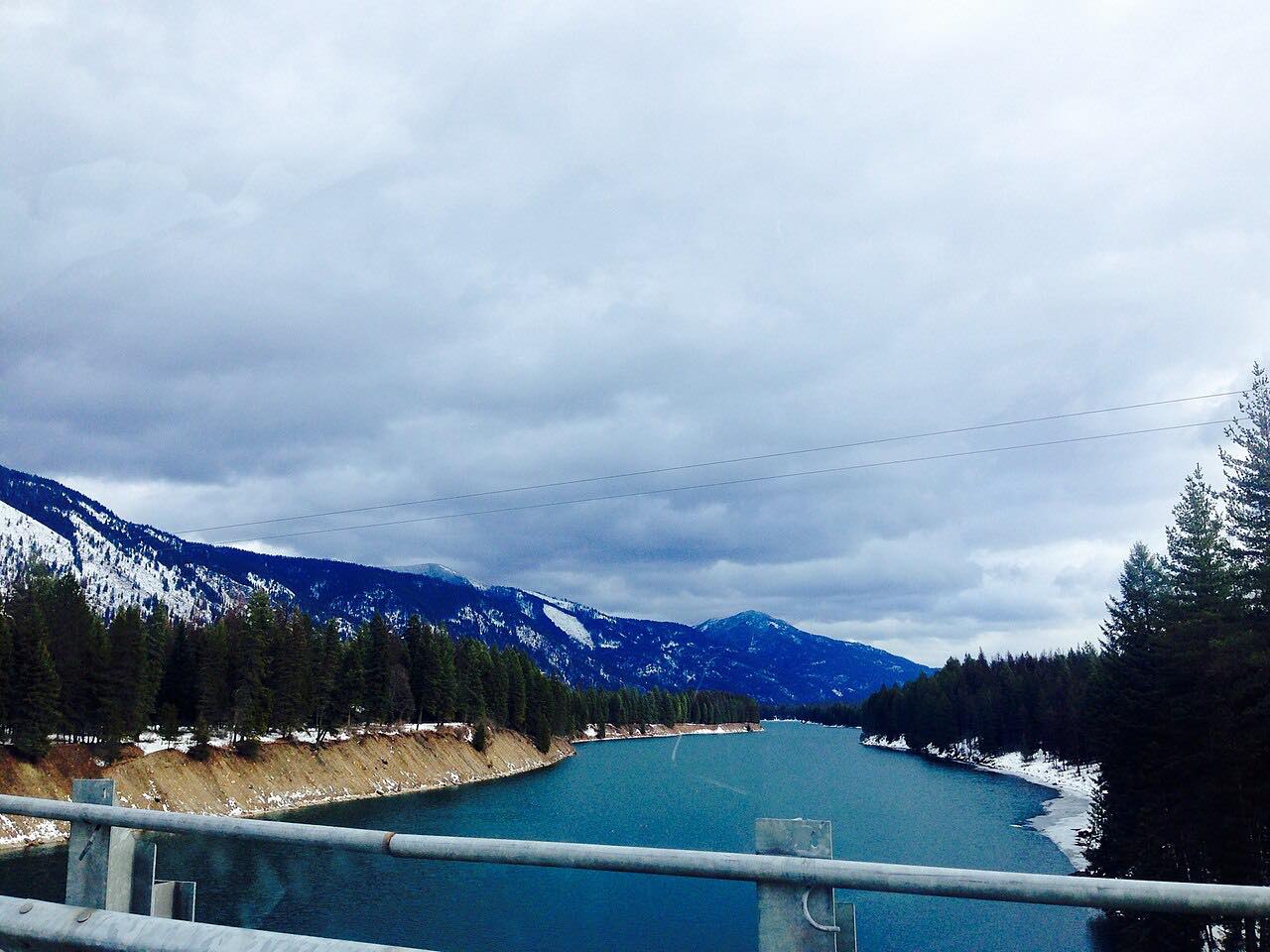
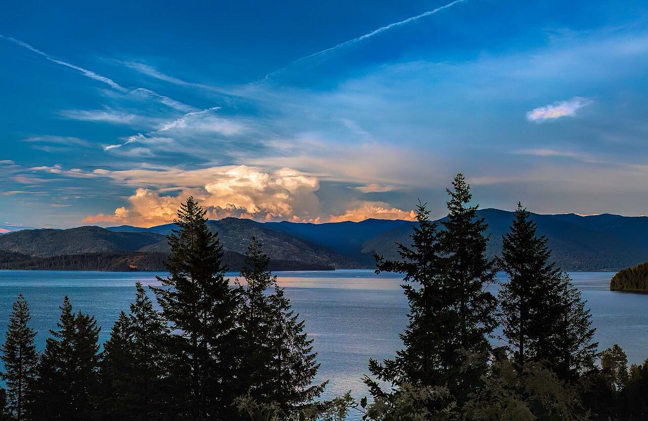
Montana Highway 37 is a designated scenic byway, 67 miles between Libby and Eureka. The drive runs north from Libby up the Kootenai River, past the Libby Dam turnoff, and along the east shore of Lake Koocanusa. Libby Dam was completed in 1974 and created the lake, which runs about 90 miles north into British Columbia.
The lake lies in a narrow, fjord-like gorge between the Purcell and Salish Mountains. Bighorn sheep are often seen on rock outcrops along the route, and the byway runs through the Kootenai National Forest. The name Koocanusa blends Kootenai, Canada and USA. The drive ends at Eureka on US 93, 66.4 miles and about 1 hr 25 min from Libby.
Along the way
- Libby
- Eureka (US-93)
Good to know
- Towns and services are few between Libby and Eureka.
- MDT has had bridge preservation work on MT 37 between Libby and Eureka, with single-lane traffic and short delays and a 10-foot width limit in the work area; check 511 for what remains.
- Watch for bighorn sheep near the road.
Open all year, weather permitting. Roads close for snow, fire, storms and repairs: before you set off, check Montana 511 Travel Information.
Questions about this drive
How long is the Lake Koocanusa Scenic Byway?
Libby to Eureka on Montana Highway 37 is 66.4 miles and takes about 1 hr 25 min.
Is the Lake Koocanusa Scenic Byway open all year?
Highway 37 between Libby and Eureka is open year-round and isn't on Montana's seasonally closed list.
Where did Lake Koocanusa get its name?
A contest winner coined Koocanusa from Kootenai, Canada and USA. Libby Dam, completed in 1974, created the lake.
What you get in the app
Free on iPhone and Android. CarPlay and Android Auto come with Apex.
More drives near here


Distance, time, elevation, curves and intensity are from Carve's route. Checked 2026-10-28.