
Drives Tennessee Knoxville, Chattanooga and East Tennessee
Highway 30: Pikeville to Spencer
SR 30 · Pikeville → Spencer

The drive
This is Tennessee Highway 30 from Pikeville, in the Sequatchie Valley, up the Cumberland Plateau's eastern wall to Spencer. It begins at US 127 in Pikeville and is 23.2 miles, climbing about 2,900 feet.
The steep part is the climb off the valley: Wikipedia describes a drop of more than 1,000 feet between the plateau near Mount Crest and the Sequatchie Valley. On top, the road meets TN 101 at Mount Crest and, just before the Van Buren-Bledsoe county line, TN 284, the main access route to Fall Creek Falls State Park. It then crosses the plateau to Spencer, where TN 30 follows College Street through town.
Along the way
- Pikeville (US 127)
- Spencer
Good to know
- Wikipedia notes the steep section off the plateau has occasional rockslide closures.
- TN 284 to Fall Creek Falls State Park branches off near the Bledsoe-Van Buren county line.
- Floods have briefly closed TN 30 near the park before.
Open all year, weather permitting. Roads close for snow, fire, storms and repairs: before you set off, check TDOT SmartWay.
Questions about this drive
How long does Highway 30 from Pikeville to Spencer take?
Highway 30 from Pikeville to Spencer is 23.2 miles and takes about 35 minutes.
How do I get to Fall Creek Falls on Highway 30?
TN 284, the primary access route to Fall Creek Falls State Park, meets TN 30 just before the Van Buren-Bledsoe county line.
What you get in the app
Free on iPhone and Android. CarPlay and Android Auto come with Apex.
More drives near here
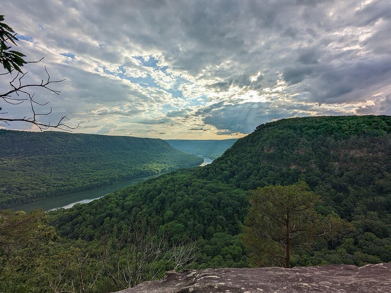
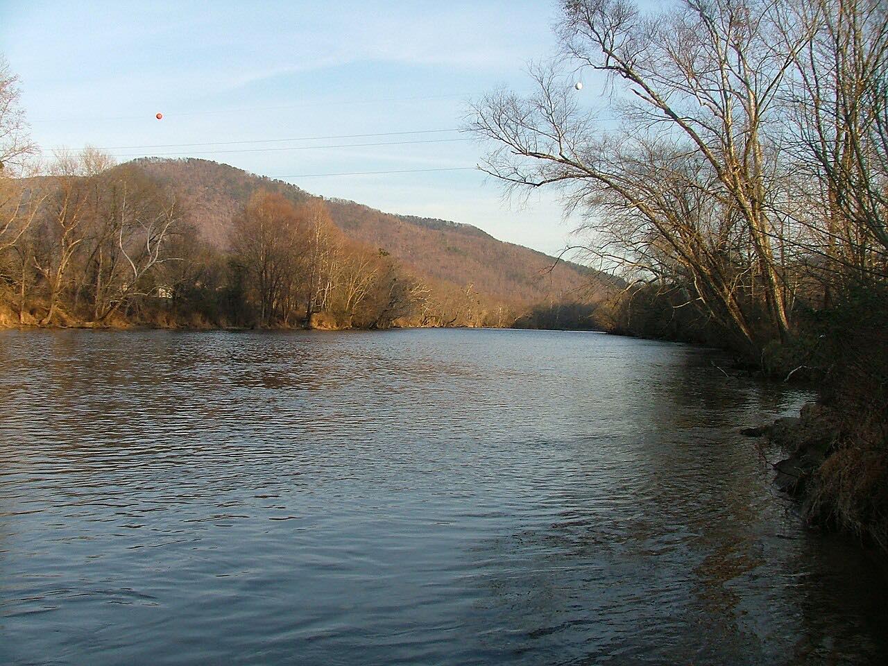
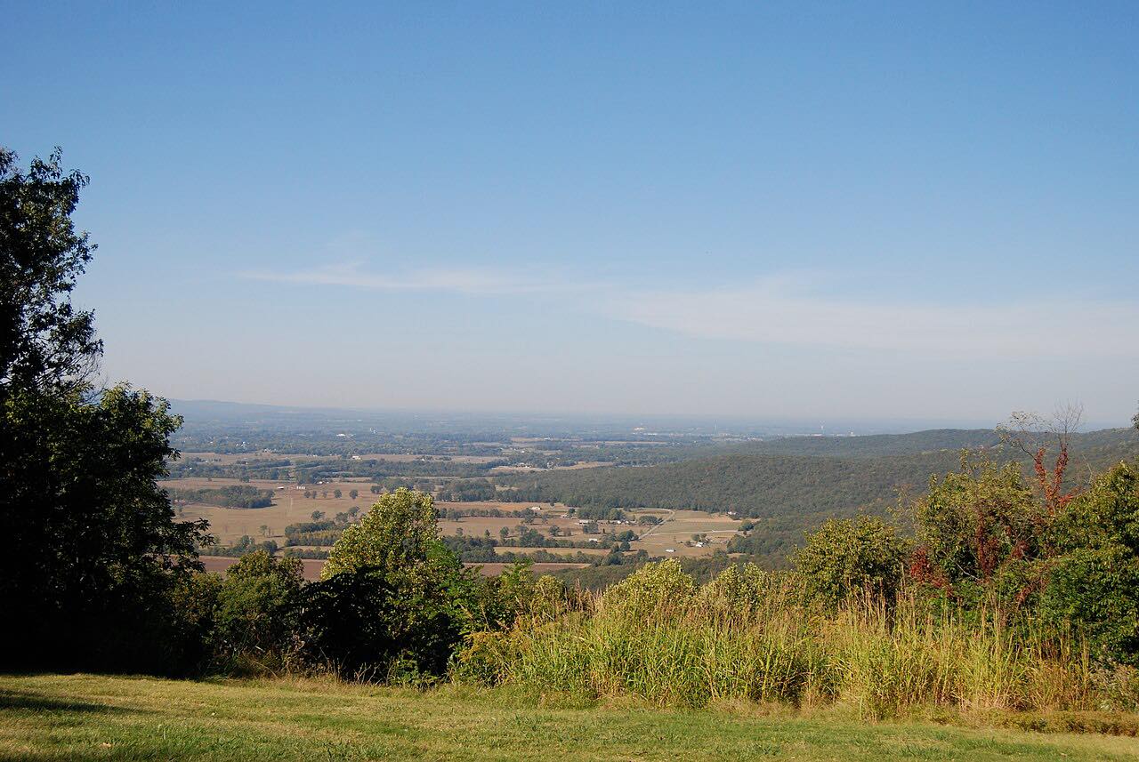


Distance, time, elevation, curves and intensity are from Carve's route. Checked 2026-10-28.