Drives California Joshua Tree and the Coachella Valley
Joshua Tree: Park Blvd to Cottonwood
Park Boulevard · Joshua Tree → Cottonwood Spring

The drive
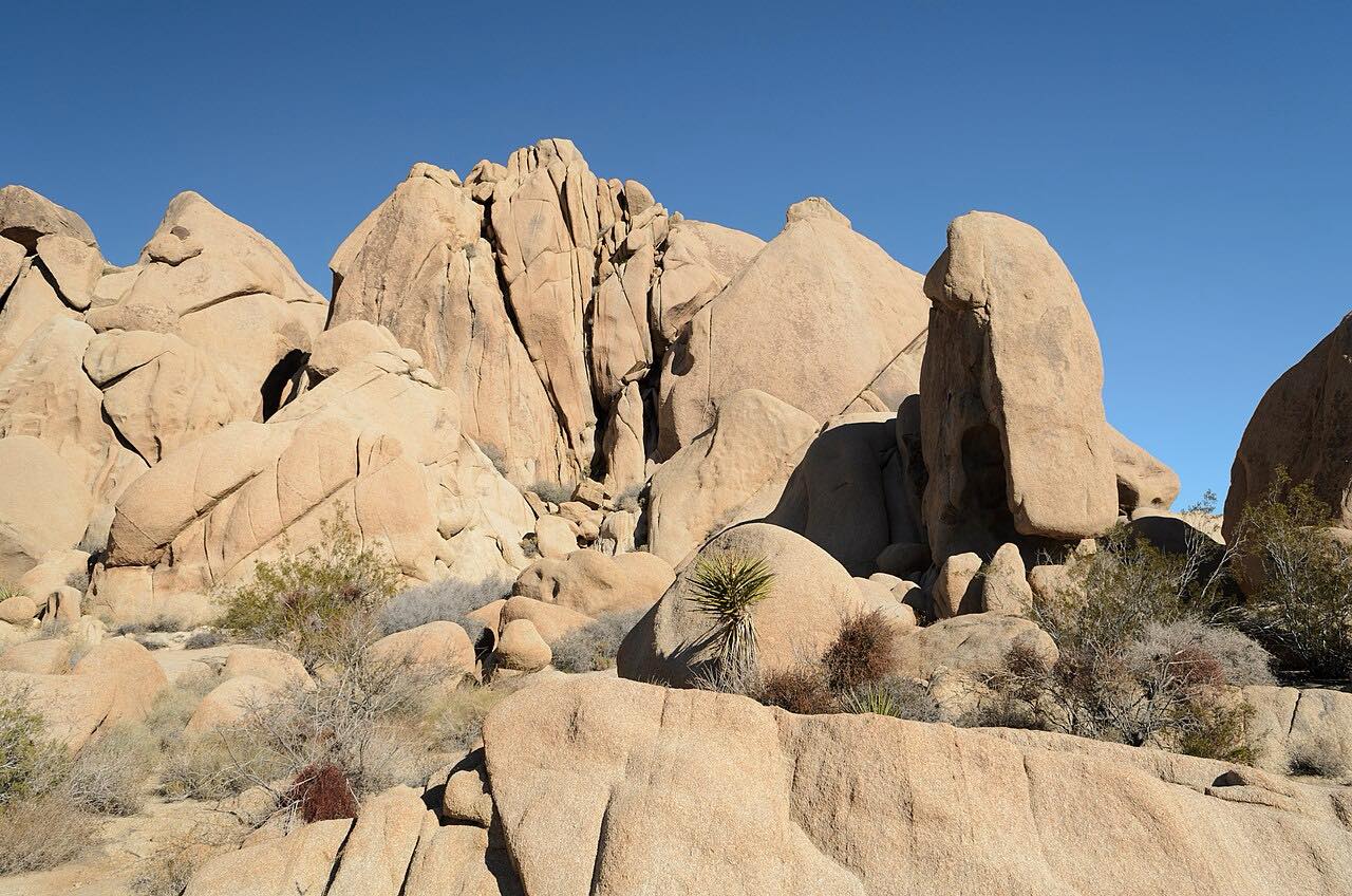
This drive crosses Joshua Tree National Park from west to east. It starts in the town of Joshua Tree on Highway 62, where Park Boulevard runs south to the West Entrance, and then climbs through the high Mojave Desert past piles of boulders and Joshua tree forest. Cap Rock, near the north end of Keys View Road, has a picnic area and a 0.4-mile nature trail around the rock formations.
From the Pinto Wye the road is Pinto Basin Road, and it keeps dropping toward the Colorado Desert. The Cholla Cactus Garden sits in the Pinto Basin where the two deserts meet: a dense colony of teddy bear cholla with a flat quarter-mile loop. The road ends at Cottonwood Spring, an oasis the Cahuilla people used for centuries and a water stop for prospectors. The National Park Service says the stretch between the Cholla Cactus Garden and Cottonwood has the park's darkest skies and least traffic.
Along the way
- Joshua Tree (Highway 62)
- Cap Rock
- Cholla Cactus Garden
- Cottonwood Spring
Good to know
- There is no food, gas, water or lodging in the park; fill the tank and carry water before you enter.
- Very few areas in the park have cell coverage, and the park warns not to rely on GPS directions, which can send cars onto sandy backcountry roads.
- The park charges an entrance fee, good for seven days, and no reservation is needed.
- Pinto Basin Road has flooded and closed after storms in the past.
- Summer highs are commonly over 100 degrees F.
Open all year, weather permitting. Roads close for snow, fire, storms and repairs: before you set off, check Joshua Tree National Park: conditions.
Questions about this drive
How long does it take to drive Park Boulevard and Pinto Basin Road?
From Joshua Tree to Cottonwood Spring is 56.8 miles and takes about 1 hr 35 min without stops. Plan a half day if you want to walk at Cap Rock or the Cholla Cactus Garden.
Is there gas in Joshua Tree National Park?
No. The park has no food, gas, water or lodging, so fill up in a nearby town before driving Park Boulevard and Pinto Basin Road.
Do you pay to drive through Joshua Tree?
Yes, the park charges an entrance fee for vehicles, valid for seven days, and the America the Beautiful pass is accepted. No timed-entry reservation is needed.
Is Park Boulevard to Pinto Basin Road twisty?
Not very. It is rated Sweeping: mostly gentle curves with one short twisty stretch over nearly 57 miles, and a long steady descent after the Pinto Wye.
What you get in the app
Free on iPhone and Android. CarPlay and Android Auto come with Apex.
More drives near here


Distance, time, elevation, curves and intensity are from Carve's route. Checked 2026-10-28.