
Drives California The Inland Empire
Rim of the World Highway
CA 18, Big Bear Boulevard · Crestline → Big Bear Lake

The drive
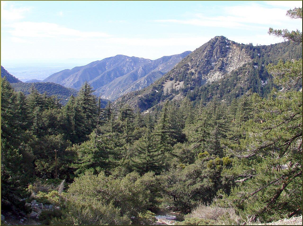
Highway 18 between Crestline and Big Bear Lake is the heart of the Rim of the World Scenic Byway, a mountain road that runs along the southern edge of the San Bernardino Mountains, mostly above 5,000 feet, with the valley floor far below. This drive starts at Lake Gregory Drive, where the four-lane climb up from San Bernardino gives way to a two-lane mountain road.
Heading east, it passes the turnoff to Lake Arrowhead and runs through the mountain towns along the crest to Running Springs, then climbs on past Snow Valley ski area. Beyond it is the stretch known as the Arctic Circle, where the highway is perched between steep cliffs above and below, before it reaches Big Bear Dam and crosses it at the west end of Big Bear Lake.
It ends on the lake's south shore at Boulder Bay, a mile or so past the dam. Highway 38 meets it near the dam, and the two make a loop back down: the Highway 38 drive from Mentone covers the other side of the byway.
Along the way
- Crestline (Lake Gregory Drive)
- Big Bear Lake (Boulder Bay)
Good to know
- This is the busiest way up to Big Bear and Lake Arrowhead; expect heavy traffic on weekends and on snow days.
- Chains or snow tires may be required after winter storms, and Caltrans or the CHP can turn back vehicles without them.
- The Arctic Circle section between Snow Valley and Big Bear Dam is prone to rockslides, and maintenance work there sometimes brings daytime full closures; check before you go.
Open all year, weather permitting. Roads close for snow, fire, storms and repairs: before you set off, check Caltrans highway conditions: Highway 18.
Questions about this drive
How long does the Rim of the World Highway take?
Highway 18 from Crestline to Big Bear Lake is 25.3 miles and takes about 45 minutes without traffic, climbing about 4,300 feet in all.
Is the Rim of the World Highway dangerous?
The Rim of the World Highway is twisty most of the way, with steep drops beside the road in places; it's a normal two-lane state highway, but drive it at the posted speeds and expect heavy weekend traffic.
Do you need chains on the Rim of the World Highway?
In winter, chains or snow tires can be required on Highway 18 after storms, so carry chains in snow season.
What is the Arctic Circle on Highway 18?
The Arctic Circle is the stretch of Highway 18 between Snow Valley and Big Bear Dam that is perched between steep cliffs above and below the road; rockslides have closed it.
What you get in the app
Free on iPhone and Android. CarPlay and Android Auto come with Apex.
More drives near here



Distance, time, elevation, curves and intensity are from Carve's route. Checked 2026-10-28.