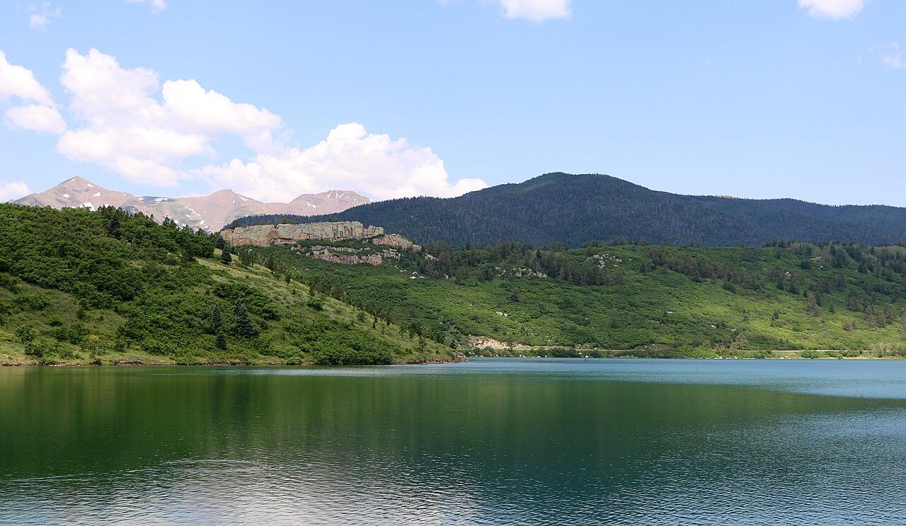
Drives Colorado Colorado Springs and Southern Colorado
Highway of Legends
CO 12, Highway of Legends · Trinidad → La Veta

The drive
Colorado 12, the Highway of Legends, runs north out of Trinidad up the Purgatoire valley and over Cuchara Pass at about 9,900 feet, ending in La Veta. It passes old coal towns, Stonewall and its rock fin, lakes and aspen, and then the Spanish Peaks with their stone dikes. The state byway page names the Dakota Wall and the Devil's Stairsteps among the landmarks along the full byway.
It is a quiet two-lane road with sweeping, easy curves rather than tight ones, and about 5,700 feet of climbing over 65 miles. Cuchara is the small mountain village near the pass.
Colorado named the byway a National Scenic Byway in 2021. A longer gravel extension over Cordova Pass leaves from Aguilar, but it is not part of this drive.
Along the way
- Trinidad
- Stonewall
- Cuchara
- La Veta
Good to know
- Services are sparse between Trinidad and La Veta; fuel up first.
- Part of Cordova Pass, on the byway's gravel extension, is closed in winter; Highway 12 itself is the paved route.
- Winter storms can slow or close Cuchara Pass; check COtrip.
Open all year, weather permitting. Roads close for snow, fire, storms and repairs: before you set off, check CDOT COtrip.
Questions about this drive
How long does the Highway of Legends take?
Trinidad to La Veta on Colorado 12 is 65.1 miles and takes about 1 hr 40 min.
Where does the Highway of Legends start?
This drive starts in Trinidad, off I-25, and runs north over Cuchara Pass to La Veta.
Is the Highway of Legends open in winter?
Colorado 12 over Cuchara Pass is a paved state highway kept open in winter, but storms can close it temporarily. Check COtrip. The gravel Cordova Pass extension is closed in winter.
Is the Highway of Legends twisty?
Not very. It is a sweeping two-lane road with mostly gentle curves, but it climbs and descends about 5,700 feet.
What you get in the app
Free on iPhone and Android. CarPlay and Android Auto come with Apex.
More drives near here

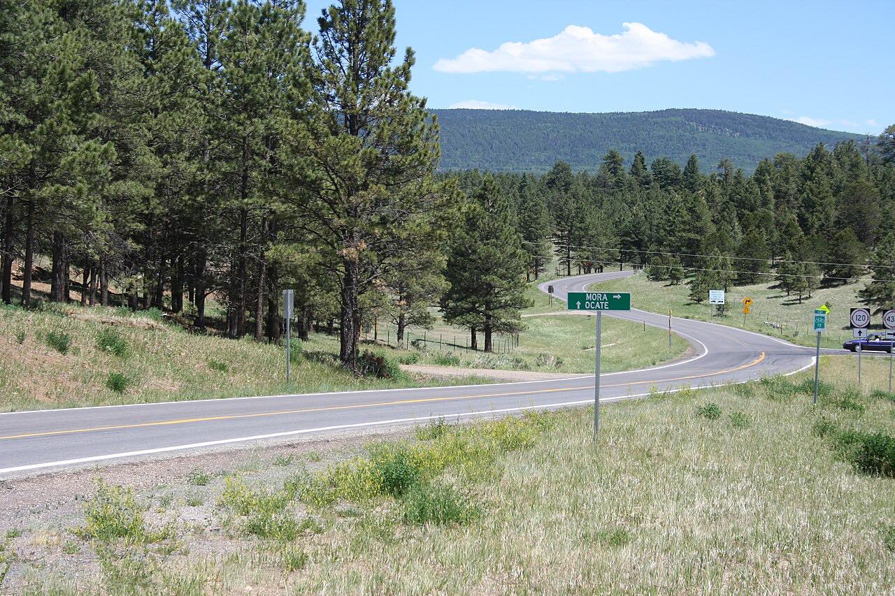


Distance, time, elevation, curves and intensity are from Carve's route. Checked 2026-10-28.